Black Mountain is a summit in Oxford County, Maine, located about 21.0 miles south of Chapman Inn in Bethel, Maine. It appears on the USGS Pleasant Mountain topographic…
Bunganock Brook is a stream in Oxford County, Maine, located about 21.0 miles east of Chapman Inn in Bethel, Maine. It appears on the USGS Buckfield topographic quadrangle.
Andrews Hill is a summit in Oxford County, Maine, located about 21.0 miles south-southeast of Chapman Inn in Bethel, Maine. It appears on the USGS Norway topographic quadrangle.
Masterman Hill is a summit in Oxford County, Maine, located about 21.0 miles northeast of Chapman Inn in Bethel, Maine. It appears on the USGS Dixfield topographic quadrangle.
Record Hill is a summit in Oxford County, Maine, located about 21.0 miles north-northeast of Chapman Inn in Bethel, Maine. It appears on the USGS Ellis Pond topographic…
Streaked Mountain is a summit in Oxford County, Maine, located about 21.0 miles east-southeast of Chapman Inn in Bethel, Maine. It appears on the USGS Oxford topographic quadrangle.
West Fork Beaver Brook is a stream in Oxford County, Maine, located about 21.0 miles north of Chapman Inn in Bethel, Maine. It appears on the USGS Ellis…
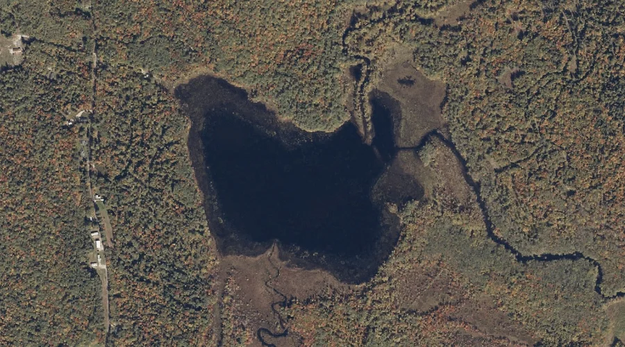
Berry Pond is a reservoir in Oxford County, Maine, located about 21.0 miles south of Chapman Inn in Bethel, Maine. It appears on the USGS Pleasant Mountain topographic…
Charles Pond is a lake in Oxford County, Maine, located about 20.7 miles south-southwest of Chapman Inn in Bethel, Maine. It appears on the USGS Center Lovell topographic…
Roxbury Mountain is a summit in Oxford County, Maine, located about 20.7 miles northeast of Chapman Inn in Bethel, Maine. It appears on the USGS Roxbury topographic quadrangle.