Worthley Brook is a stream in Oxford County, Maine, located about 21.5 miles east-northeast of Chapman Inn in Bethel, Maine. It appears on the USGS Canton topographic quadrangle.
Cary Hill is a summit in Oxford County, Maine, located about 21.5 miles east-southeast of Chapman Inn in Bethel, Maine. It appears on the USGS Buckfield topographic quadrangle.
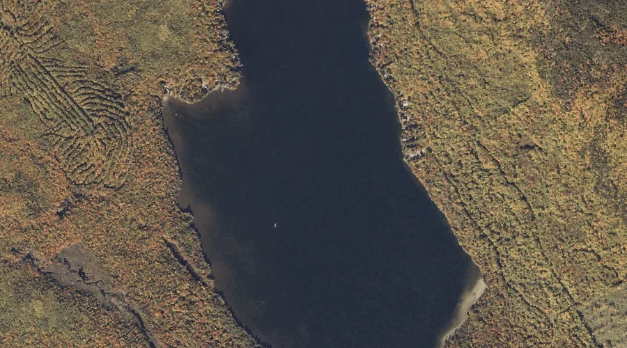
Little Ellis Pond is a lake in Oxford County, Maine, located about 21.5 miles north-northeast of Chapman Inn in Bethel, Maine. It appears on the USGS Ellis Pond…
Newton Hill is a summit in Oxford County, Maine, located about 21.6 miles east-northeast of Chapman Inn in Bethel, Maine. It appears on the USGS Dixfield topographic quadrangle.
Rabbit Knoll is a summit in Oxford County, Maine, located about 21.6 miles north-northwest of Chapman Inn in Bethel, Maine. It appears on the USGS B Pond topographic…
Deans Hill is a summit in Oxford County, Maine, located about 21.4 miles east-southeast of Chapman Inn in Bethel, Maine. It appears on the USGS West Sumner topographic…
Whitney Hill is a summit in Oxford County, Maine, located about 21.4 miles southeast of Chapman Inn in Bethel, Maine. It appears on the USGS Oxford topographic quadrangle.
Basin Falls Brook is a stream in Oxford County, Maine, located about 21.1 miles east-southeast of Chapman Inn in Bethel, Maine. It appears on the USGS West Sumner…
Trask Mountain is a summit in Oxford County, Maine, located about 21.1 miles east of Chapman Inn in Bethel, Maine. It appears on the USGS Canton topographic quadrangle.
Robinson Hill is a summit in Oxford County, Maine, located about 21.1 miles east of Chapman Inn in Bethel, Maine. It appears on the USGS Buckfield topographic quadrangle.