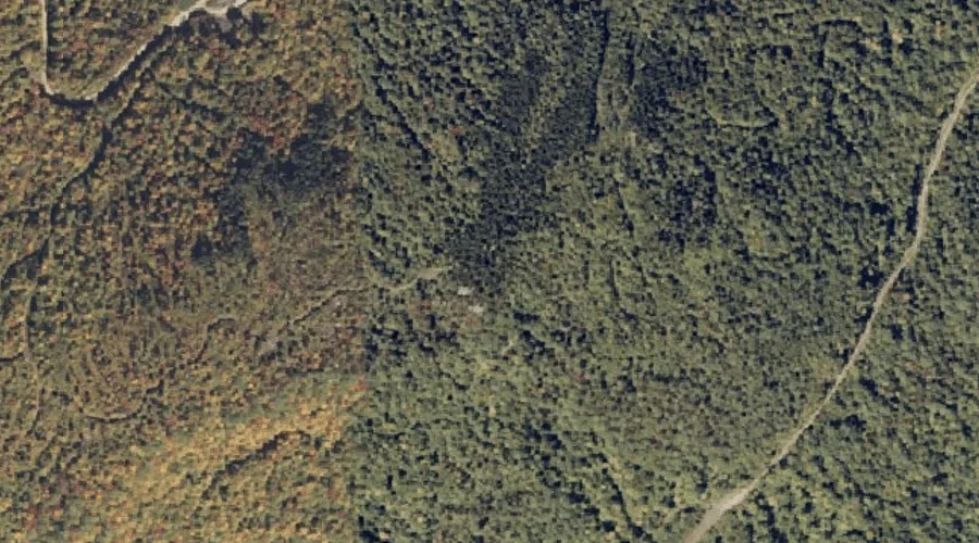
Sawyer Mountain is a summit in Oxford County, Maine, located about 21.2 miles north of Chapman Inn in Bethel, Maine. It appears on the USGS Andover topographic quadrangle.
Moody Mountain is a summit in Oxford County, Maine, located about 21.3 miles north of Chapman Inn in Bethel, Maine. It appears on the USGS Andover topographic quadrangle.
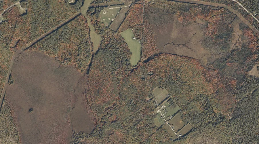
Beaver Pond Brook is a stream in Oxford County, Maine, located about 21.3 miles east-northeast of Chapman Inn in Bethel, Maine. It appears on the USGS Dixfield topographic…
Smarts Hill is a summit in Oxford County, Maine, located about 21.4 miles south-southwest of Chapman Inn in Bethel, Maine. It appears on the USGS Fryeburg topographic quadrangle.
Basin Falls Brook is a stream in Oxford County, Maine, located about 21.1 miles east-southeast of Chapman Inn in Bethel, Maine. It appears on the USGS West Sumner…
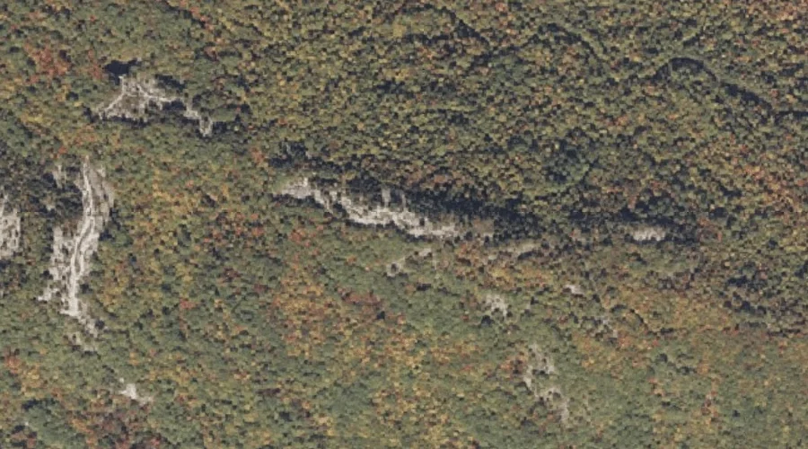
Trask Mountain is a summit in Oxford County, Maine, located about 21.1 miles east of Chapman Inn in Bethel, Maine. It appears on the USGS Canton topographic quadrangle.
Robinson Hill is a summit in Oxford County, Maine, located about 21.1 miles east of Chapman Inn in Bethel, Maine. It appears on the USGS Buckfield topographic quadrangle.
Singepole Mountain is a summit in Oxford County, Maine, located about 20.8 miles southeast of Chapman Inn in Bethel, Maine. It appears on the USGS Oxford topographic quadrangle.
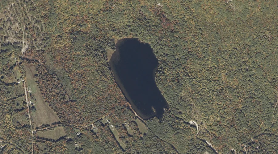
Hall Pond is a reservoir in Oxford County, Maine, located about 20.9 miles southeast of Chapman Inn in Bethel, Maine. It appears on the USGS Oxford topographic quadrangle.
Popple Hill Brook is a stream in Oxford County, Maine, located about 20.9 miles south-southwest of Chapman Inn in Bethel, Maine. It appears on the USGS Fryeburg topographic…