 Aerial imagery: USGS National Map (public domain)
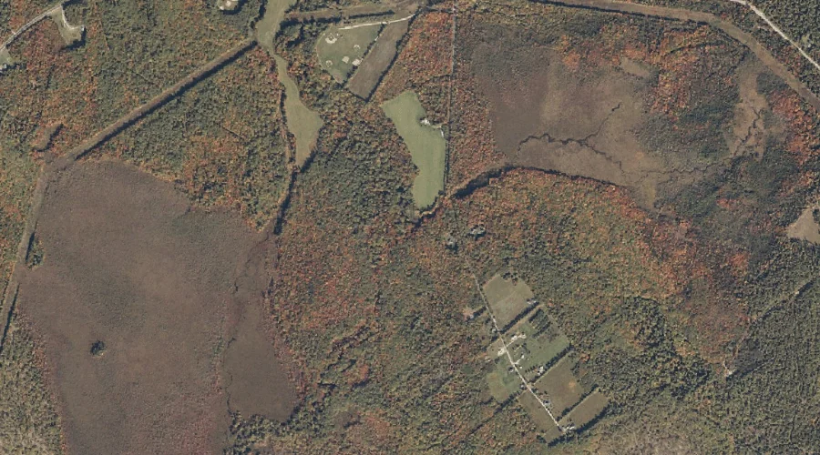
Popple Hill Brook — Streams 20.9 Miles SSW of Chapman Inn
Oxford County, Maine · USGS Fryeburg Quadrangle · GNIS 581180
Within Oxford County, Maine, on the USGS Fryeburg quadrangle, the stream known as Popple Hill Brook sits 20.9 miles south-southwest of Chapman Inn.
Wikidata short description: “stream in Oxford County, Maine, United States of America”
Landmark Profile
Classification & USGS reference
Within Oxford County, Maine, the U.S. Geological Survey lists Popple Hill Brook as a stream on the Fryeburg topographic quadrangle (FIPS 23/017), under Feature ID 581180. Catalogued in GNIS since 09/30/1980.
Coordinates & physical setting
Popple Hill Brook sits at 44.11146° N, 70.89201° W (DMS 44°06′41″ N, 70°53′31″ W).
As a linear feature its source lies near 44.12562° N, 70.84784° W (DMS 44°07′32″ N, 70°50′52″ W) — useful for anglers and paddlers tracing the upstream end.
Other streams in Oxford County, Maine
Oxford County, ME contains 296 streams catalogued in the USGS Geographic Names Information System, counting Popple Hill Brook itself. The ones closest to Popple Hill Brook:
| Feature | USGS Quadrangle | Distance |
|---|---|---|
| Prays Brook | Fryeburg | 0.8 mi |
| Kezar River | Fryeburg | 1.7 mi |
| Alder Brook | Center Lovell | 1.7 mi |
| Elkins Brook | Pleasant Mountain | 2.7 mi |
| Charles River | Center Lovell | 3 mi |
| Kezar Outlet | Center Lovell | 3 mi |
| Old Course Saco River | Fryeburg | 3.4 mi |
| Cold Brook | North Waterford | 3.4 mi |
| Long Meadow Brook | Center Lovell | 3.6 mi |
| Cold River | Center Lovell | 4.1 mi |
Features on the USGS Fryeburg Quadrangle
The Fryeburg 7.5-minute topographic quadrangle holds 33 catalogued natural features alongside Popple Hill Brook. A sampling nearest to this location:
| Feature | Type | County | Offset |
|---|---|---|---|
| Smarts Hill | Summits | Oxford County, ME | 0.8 mi |
| Prays Brook | Streams | Oxford County, ME | 0.8 mi |
| Swimming Bog | Swamps | Oxford County, ME | 0.9 mi |
| Kezar River | Streams | Oxford County, ME | 1.7 mi |
| Kezar Pond | Lakes | Oxford County, ME | 1.9 mi |
| Horseshoe Pond | Lakes | Oxford County, ME | 2.1 mi |
| Dead Lake | Lakes | Oxford County, ME | 3.4 mi |
| Old Course Saco River | Streams | Oxford County, ME | 3.4 mi |
| Horseshoe Pond | Lakes | Oxford County, ME | 3.6 mi |
| Bog Pond | Lakes | Oxford County, ME | 4.7 mi |
Visiting from Chapman Inn
Distance, bearing & drive time
Follow the compass bearing SSW out of Bethel for 20.9 miles (south-southwest) and you reach Popple Hill Brook; at typical rural speeds the trip runs roughly 36 minutes.
Best time to visit
Best observed in late spring and early summer when flow is strong and banks are visible. At this latitude (44.111°), the shoulder seasons are workable — April and November can be comfortable on mild years. At 20.9 miles from the Inn, plan on a comfortable day trip with time for lunch on the road. Conditions at Popple Hill Brook track the nearby Smarts Hill summit (0.8 mi away) closely — if that is runnable, so is this.
Nearest features to Popple Hill Brook
| Feature | Type | County | Distance |
|---|---|---|---|
| Smarts Hill | Summits | Oxford County, ME | 0.8 mi |
| Prays Brook | Streams | Oxford County, ME | 0.8 mi |
| Swimming Bog | Swamps | Oxford County, ME | 0.9 mi |
| Kezar River | Streams | Oxford County, ME | 1.7 mi |
| Little Pond | Lakes | Oxford County, ME | 1.7 mi |
Frequently Asked Questions
Where is Popple Hill Brook located?
Popple Hill Brook is in Oxford County, Maine, approximately 20.9 miles south-southwest of Chapman Inn in Bethel, Maine. It appears on the USGS Fryeburg topographic quadrangle.
How far is Popple Hill Brook from Chapman Inn?
The drive runs about 36 minutes, 20.9 miles south-southwest (bearing SSW) of the Inn.
What type of natural feature is Popple Hill Brook?
The U.S. Geological Survey classifies Popple Hill Brook as a stream, catalogued under GNIS Feature ID 581180 on the Fryeburg quadrangle.
When is the best time to visit Popple Hill Brook?
Best observed in late spring and early summer when flow is strong and banks are visible.
How many other streams are in Oxford County, Maine?
GNIS lists 295 other streams in Oxford County, Maine.
Wikidata: Q35263965.