Greenwood Mountain is a summit in Oxford County, Maine, located about 24.7 miles southeast of Chapman Inn in Bethel, Maine. It appears on the USGS Oxford topographic quadrangle.
Little Bear Mountain is a summit in Oxford County, Maine, located about 24.7 miles east of Chapman Inn in Bethel, Maine. It appears on the USGS Canton topographic…
Canada Hill is a summit in Oxford County, Maine, located about 24.7 miles south-southeast of Chapman Inn in Bethel, Maine. It appears on the USGS Casco topographic quadrangle.
Birch Hill is a summit in Oxford County, Maine, located about 24.8 miles south-southwest of Chapman Inn in Bethel, Maine. It appears on the USGS Fryeburg topographic quadrangle.
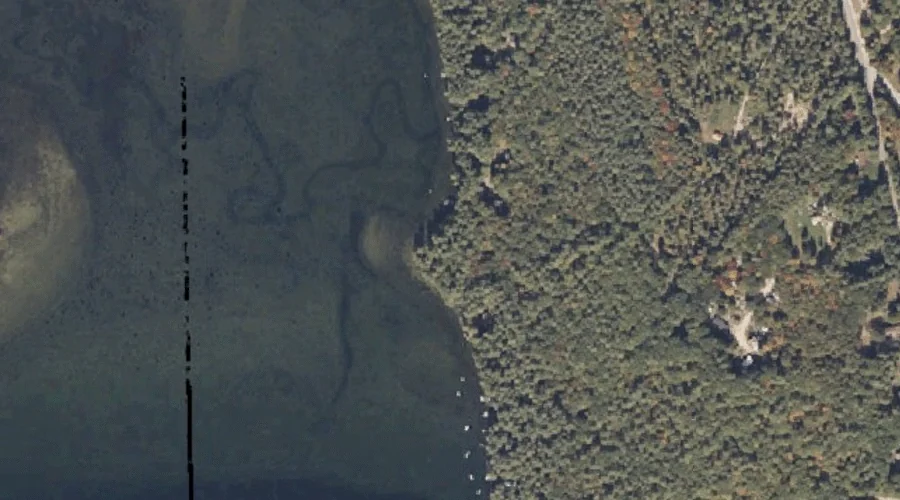
The Bar is a cape in Oxford County, Maine, located about 24.8 miles southeast of Chapman Inn in Bethel, Maine. It appears on the USGS Mechanic Falls topographic…
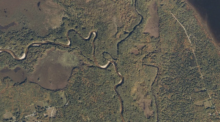
Little Androscoggin River Reservoir is a reservoir in Oxford County, Maine, located about 24.8 miles southeast of Chapman Inn in Bethel, Maine. It appears on the USGS Oxford…
Fish Hill is a summit in Oxford County, Maine, located about 24.6 miles east-northeast of Chapman Inn in Bethel, Maine. It appears on the USGS Canton topographic quadrangle.
Gould Hill is a summit in Oxford County, Maine, located about 24.3 miles east-northeast of Chapman Inn in Bethel, Maine. It appears on the USGS East Dixfield topographic…
Old Course Saco River is a stream in Oxford County, Maine, located about 24.3 miles south-southwest of Chapman Inn in Bethel, Maine. It appears on the USGS Fryeburg…
West Mountain is a summit in Oxford County, Maine, located about 24.3 miles north-northeast of Chapman Inn in Bethel, Maine. It appears on the USGS Roxbury topographic quadrangle.