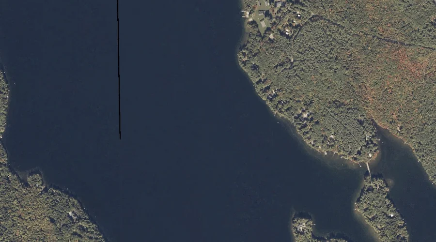
B Brook Cove is a bay in Oxford County, Maine, located about 27.4 miles north-northwest of Chapman Inn in Bethel, Maine. It appears on the USGS Umbagog Lake…
Thompson Lake is a reservoir in Oxford County, Maine, located about 27.4 miles south-southeast of Chapman Inn in Bethel, Maine. It appears on the USGS Mechanic Falls topographic…
Sylvester Ridge is a ridge in Oxford County, Maine, located about 27.5 miles south-southeast of Chapman Inn in Bethel, Maine. It appears on the USGS Casco topographic quadrangle.
Black Brook is a stream in Oxford County, Maine, located about 27.2 miles south of Chapman Inn in Bethel, Maine. It appears on the USGS Fryeburg topographic quadrangle.
Icicle Brook is a stream in Oxford County, Maine, located about 27.2 miles north of Chapman Inn in Bethel, Maine. It appears on the USGS Metallak Mountain topographic…
Whitney Hill is a summit in Oxford County, Maine, located about 27.3 miles east-northeast of Chapman Inn in Bethel, Maine. It appears on the USGS Livermore Falls topographic…
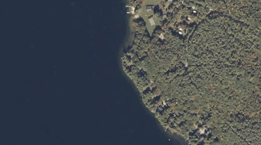
Lunt Point is a cape in Oxford County, Maine, located about 27.3 miles south-southeast of Chapman Inn in Bethel, Maine. It appears on the USGS Mechanic Falls topographic…
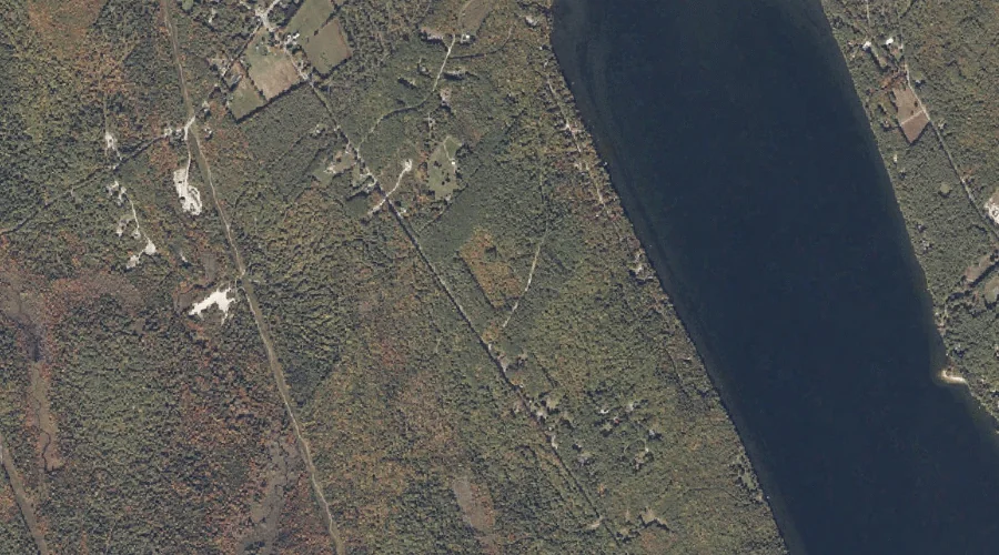
Dolly Brook is a stream in Oxford County, Maine, located about 27.1 miles south-southeast of Chapman Inn in Bethel, Maine. It appears on the USGS Casco topographic quadrangle.
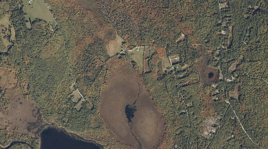
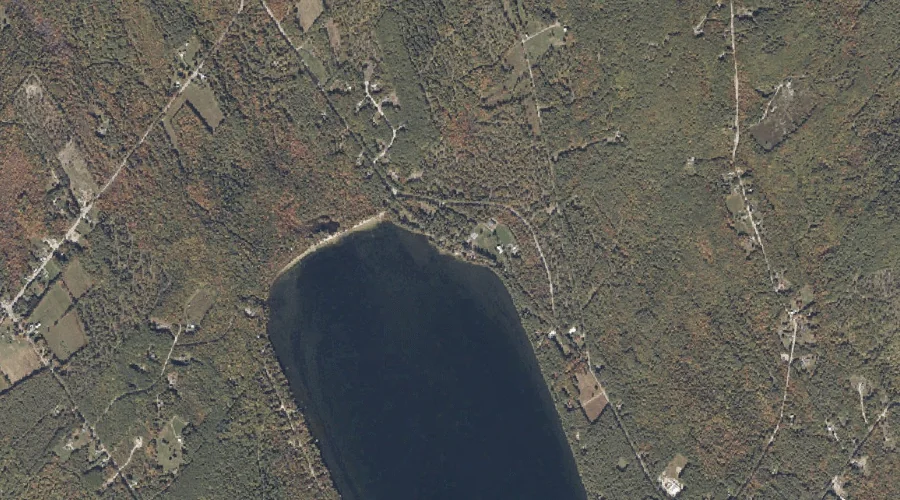
Mud Pond is a lake in Oxford County, Maine, located about 27.1 miles southeast of Chapman Inn in Bethel, Maine. It appears on the USGS Mechanic Falls topographic…
Swans Falls is a waterfall in Oxford County, Maine, located about 27.1 miles south-southwest of Chapman Inn in Bethel, Maine. It appears on the USGS Fryeburg topographic quadrangle.