Pleasant Pond is a lake in Oxford County, Maine, located about 27.9 miles south of Chapman Inn in Bethel, Maine. It appears on the USGS Fryeburg topographic quadrangle.
Long Meadows is a swamp in Oxford County, Maine, located about 27.9 miles south-southeast of Chapman Inn in Bethel, Maine. It appears on the USGS Casco topographic quadrangle.
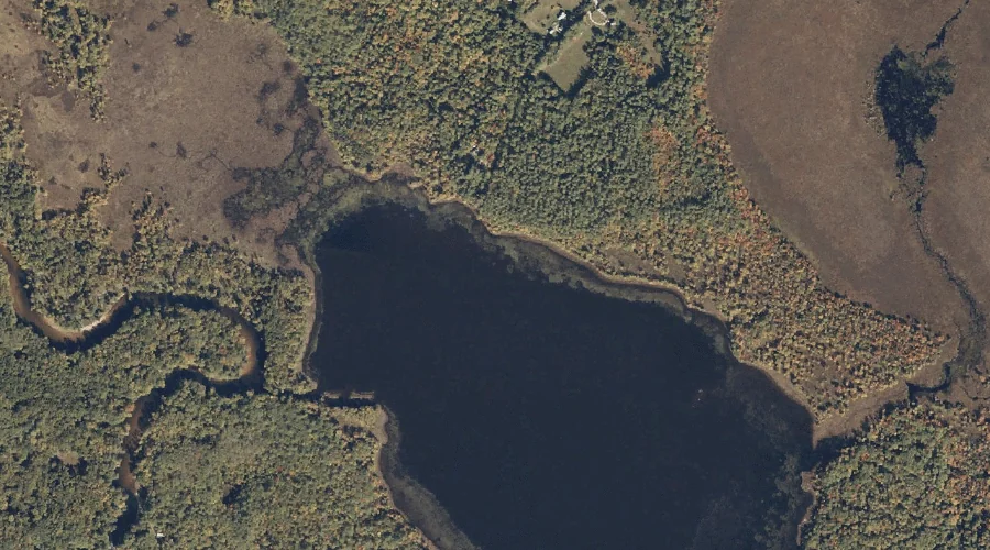
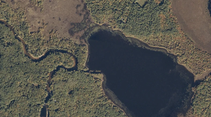
Mill Pond is a reservoir in Oxford County, Maine, located about 28.0 miles south of Chapman Inn in Bethel, Maine. It appears on the USGS Fryeburg topographic quadrangle.
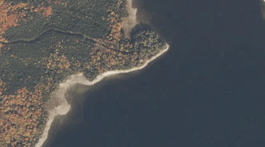
Horse Beef Point is a cape in Oxford County, Maine, located about 28.0 miles north-northwest of Chapman Inn in Bethel, Maine. It appears on the USGS Middle Dam…
Wood Island is a island in Oxford County, Maine, located about 27.8 miles south of Chapman Inn in Bethel, Maine. It appears on the USGS Pleasant Mountain topographic…
Jockey Cap is a summit in Oxford County, Maine, located about 27.8 miles south-southwest of Chapman Inn in Bethel, Maine. It appears on the USGS Fryeburg topographic quadrangle.
Fight Brook is a stream in Oxford County, Maine, located about 27.5 miles south-southwest of Chapman Inn in Bethel, Maine. It appears on the USGS Fryeburg topographic quadrangle.
Carry Ridge is a ridge in Oxford County, Maine, located about 27.6 miles north-northwest of Chapman Inn in Bethel, Maine. It appears on the USGS Middle Dam topographic…
Jackson Point is a cape in Oxford County, Maine, located about 27.6 miles north-northwest of Chapman Inn in Bethel, Maine. It appears on the USGS Middle Dam topographic…
College Swamp Brook is a stream in Oxford County, Maine, located about 27.3 miles south-southeast of Chapman Inn in Bethel, Maine. It appears on the USGS Casco topographic…