Fox Pond is a lake in Oxford County, Maine, located about 32.1 miles north-northwest of Chapman Inn in Bethel, Maine. It appears on the USGS Middle Dam topographic…
Hancock Pond is a reservoir in Oxford County, Maine, located about 32.1 miles south of Chapman Inn in Bethel, Maine. It appears on the USGS North Sebago topographic…
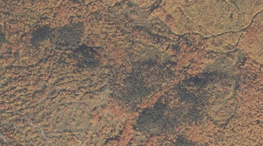
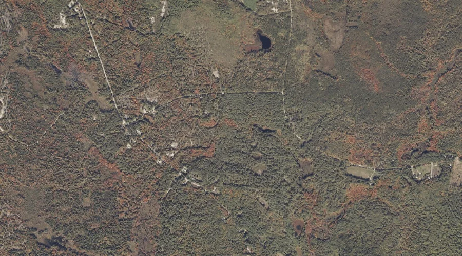
Frost Mountain is a summit in Oxford County, Maine, located about 31.9 miles south-southwest of Chapman Inn in Bethel, Maine. It appears on the USGS Brownfield topographic quadrangle.
Sturtevant Mountain is a summit in Oxford County, Maine, located about 31.9 miles north-northwest of Chapman Inn in Bethel, Maine. It appears on the USGS Umbagog Lake North…
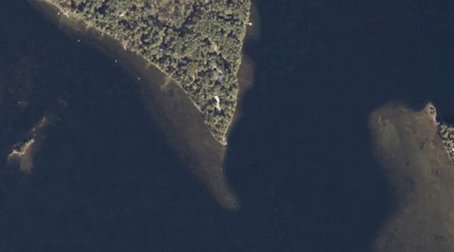
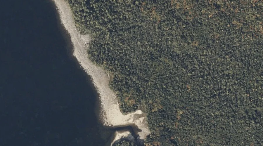
Blackburn Point is a cape in Oxford County, Maine, located about 32.0 miles south of Chapman Inn in Bethel, Maine. It appears on the USGS North Sebago topographic…
Peary Mountain is a summit in Oxford County, Maine, located about 32.0 miles south-southwest of Chapman Inn in Bethel, Maine. It appears on the USGS Brownfield topographic quadrangle.
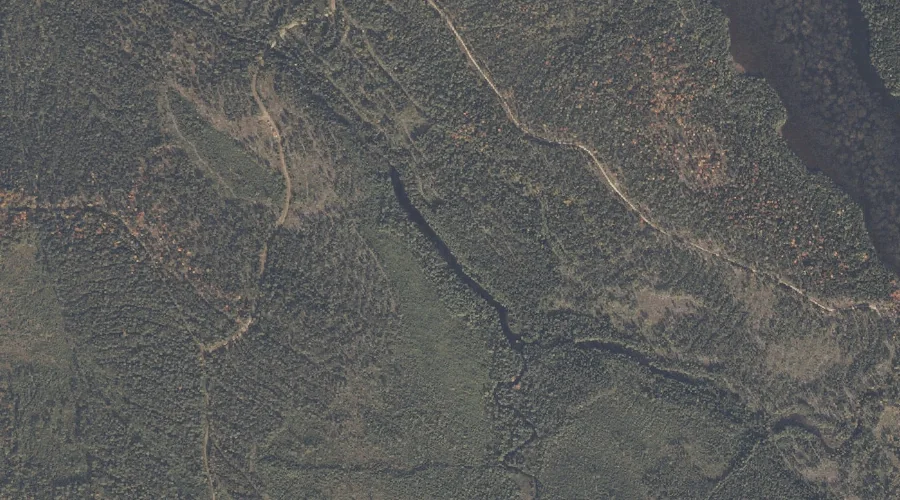
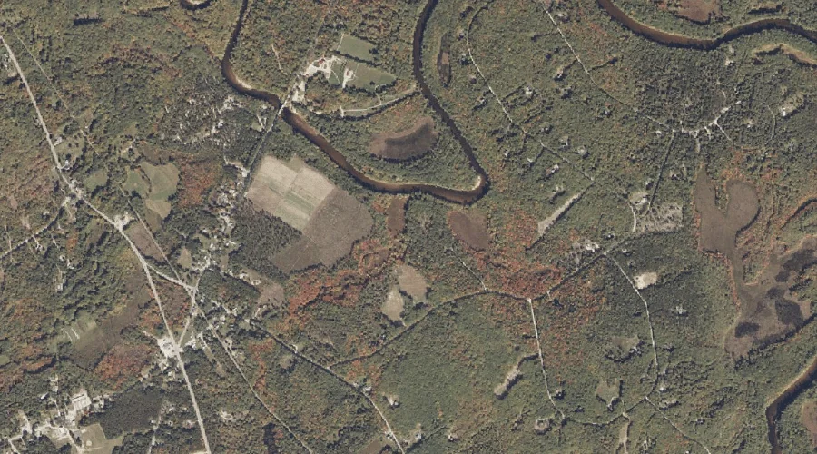
Burnt Meadow Brook is a stream in Oxford County, Maine, located about 31.7 miles south of Chapman Inn in Bethel, Maine. It appears on the USGS Brownfield topographic…
Whitneys Point is a cape in Oxford County, Maine, located about 31.7 miles north of Chapman Inn in Bethel, Maine. It appears on the USGS Metallak Mountain topographic…
Haley Brook is a stream in Oxford County, Maine, located about 31.5 miles south-southwest of Chapman Inn in Bethel, Maine. It appears on the USGS Brownfield topographic quadrangle.
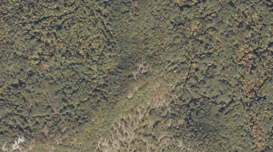
Boston Hills is a summit in Oxford County, Maine, located about 31.6 miles south of Chapman Inn in Bethel, Maine. It appears on the USGS Hiram topographic quadrangle.