 Aerial imagery: USGS National Map (public domain)
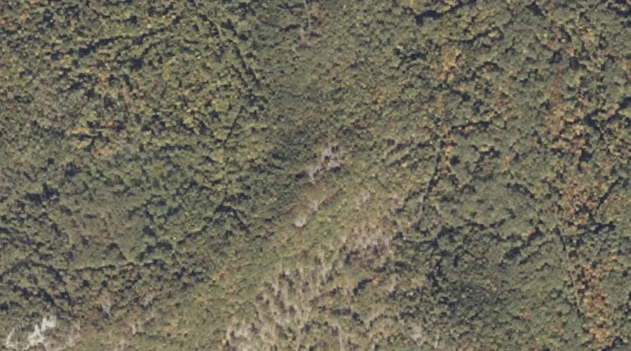
Peary Mountain — Summits 32.0 Miles SSW of Chapman Inn
Oxford County, Maine · USGS Brownfield Quadrangle · GNIS 573114
32.0 miles south-southwest of Chapman Inn, on the USGS Brownfield topographic quadrangle, Peary Mountain is a summit recorded in Oxford County, Maine by the federal Geographic Names Information System.
Wikidata short description: “mountain in United States of America”
Landmark Profile
Classification & USGS reference
The USGS Brownfield 7.5-minute topographic quadrangle places Peary Mountain in Oxford County, Maine (FIPS 23/017), classified as a summit in the federal GNIS (Feature ID 573114). Last revised by the Board on Geographic Names on 06/04/2022.
Coordinates & physical setting
Peary Mountain sits at 43.95404° N, 70.93457° W (DMS 43°57′15″ N, 70°56′04″ W).
Other summits in Oxford County, Maine
Oxford County, ME contains 438 summits catalogued in the USGS Geographic Names Information System, counting Peary Mountain itself. The ones closest to Peary Mountain:
| Feature | USGS Quadrangle | Elevation | Distance |
|---|---|---|---|
| Frost Mountain | Brownfield | — | 0.9 mi |
| Tibbetts Mountain | Brownfield | — | 1.2 mi |
| Bald Peak | Brownfield | — | 2.5 mi |
| Burnt Meadow Mountains | Brownfield | — | 3.3 mi |
| Stone Mountain | Brownfield | — | 3.3 mi |
| Oak Hill | Fryeburg | — | 3.4 mi |
| Long Hill | Brownfield | — | 3.6 mi |
| Oak Hill | Hiram | — | 3.8 mi |
| Kezar Hill | Hiram | — | 4.1 mi |
| Starks Mountain | Fryeburg | — | 4.1 mi |
Features on the USGS Brownfield Quadrangle
The Brownfield 7.5-minute topographic quadrangle holds 31 catalogued natural features alongside Peary Mountain. A sampling nearest to this location:
| Feature | Type | County | Offset |
|---|---|---|---|
| Frost Mountain | Summits | Oxford County, ME | 0.9 mi |
| Tibbetts Mountain | Summits | Oxford County, ME | 1.2 mi |
| Billy Brook | Streams | Oxford County, ME | 1.3 mi |
| Haley Brook | Streams | Oxford County, ME | 1.5 mi |
| Paine Brook | Streams | Oxford County, NH | 1.5 mi |
| Peat Pond | Lakes | Oxford County, ME | 1.7 mi |
| Shepards River | Streams | Oxford County, NH | 2.1 mi |
| Clays Pond | Lakes | Oxford County, ME | 2.2 mi |
| Little Saco River | Streams | Oxford County, ME | 2.2 mi |
| Bald Peak | Summits | Oxford County, ME | 2.5 mi |
Visiting from Chapman Inn
Distance, bearing & drive time
Chapman Inn sits 32.0 miles south-southwest (bearing SSW) of Peary Mountain. At moderate back-road speeds the drive runs about 55 minutes — comfortably inside a half-day outing window after breakfast.
Best time to visit
Accessible May through November in most years. At this latitude (43.954°), the shoulder seasons are workable — April and November can be comfortable on mild years. At 32.0 miles from the Inn, block the full day — sunrise start, late return, packed meals. Conditions at Peary Mountain track the nearby Frost Mountain summit (0.9 mi away) closely — if that is runnable, so is this.
Nearest features to Peary Mountain
| Feature | Type | County | Distance |
|---|---|---|---|
| Frost Mountain | Summits | Oxford County, ME | 0.9 mi |
| Tibbetts Mountain | Summits | Oxford County, ME | 1.2 mi |
| Billy Brook | Streams | Oxford County, ME | 1.3 mi |
| Haley Brook | Streams | Oxford County, ME | 1.5 mi |
| Paine Brook | Streams | Oxford County, NH | 1.5 mi |
Frequently Asked Questions
Where is Peary Mountain located?
Peary Mountain is in Oxford County, Maine, approximately 32.0 miles south-southwest of Chapman Inn in Bethel, Maine. It appears on the USGS Brownfield topographic quadrangle.
How far is Peary Mountain from Chapman Inn?
The drive runs about 55 minutes, 32.0 miles south-southwest (bearing SSW) of the Inn.
What type of natural feature is Peary Mountain?
The U.S. Geological Survey classifies Peary Mountain as a summit, catalogued under GNIS Feature ID 573114 on the Brownfield quadrangle.
When is the best time to visit Peary Mountain?
Accessible May through November in most years.
How many other summits are in Oxford County, Maine?
GNIS lists 437 other summits in Oxford County, Maine.
Wikidata: Q33143022.