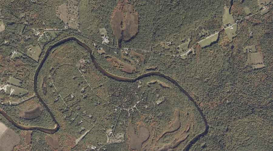
Mosquito Brook is a stream in Oxford County, Maine, located about 31.5 miles north of Chapman Inn in Bethel, Maine. It appears on the USGS Metallak Mountain topographic…
Walden Pond is a lake in Oxford County, Maine, located about 31.1 miles south of Chapman Inn in Bethel, Maine. It appears on the USGS Hiram topographic quadrangle.
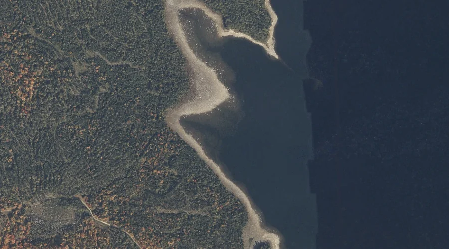
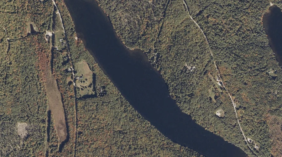
Halfmoon Cove is a bay in Oxford County, Maine, located about 31.2 miles north of Chapman Inn in Bethel, Maine. It appears on the USGS Middle Dam topographic…
Sucker Brook is a stream in Oxford County, Maine, located about 31.3 miles south of Chapman Inn in Bethel, Maine. It appears on the USGS North Sebago topographic…
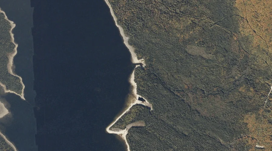
Black Point is a cape in Oxford County, Maine, located about 31.0 miles north of Chapman Inn in Bethel, Maine. It appears on the USGS Metallak Mountain topographic…
Buck Meadow Brook is a stream in Oxford County, Maine, located about 31.0 miles south of Chapman Inn in Bethel, Maine. It appears on the USGS Hiram topographic…
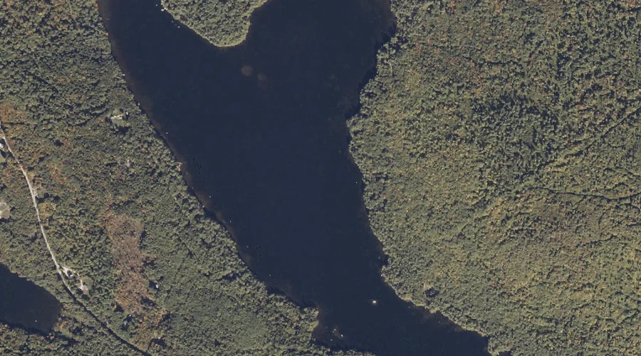
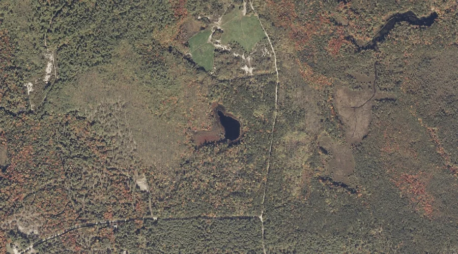
Granger Pond is a lake in Oxford County, Maine, located about 31.0 miles south of Chapman Inn in Bethel, Maine. It appears on the USGS Hiram topographic quadrangle.
Peat Pond is a lake in Oxford County, Maine, located about 31.0 miles south-southwest of Chapman Inn in Bethel, Maine. It appears on the USGS Brownfield topographic quadrangle.
Quarry Hill is a summit in Oxford County, Maine, located about 30.8 miles south of Chapman Inn in Bethel, Maine. It appears on the USGS North Sebago topographic…
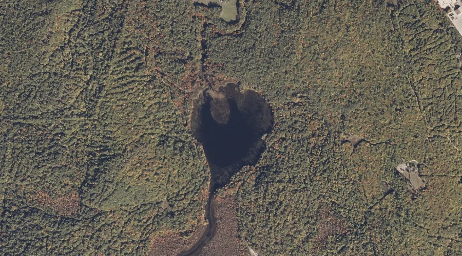
Little Pond is a lake in Oxford County, Maine, located about 30.7 miles south of Chapman Inn in Bethel, Maine. It appears on the USGS Hiram topographic quadrangle.