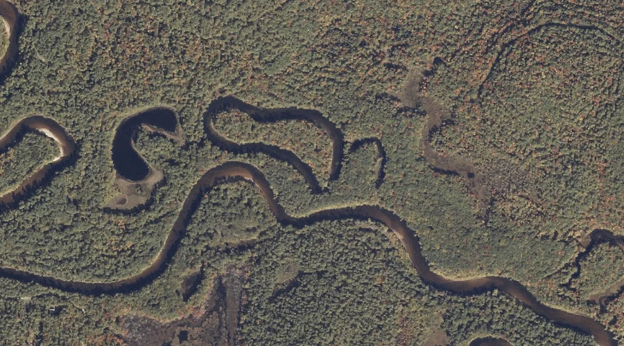
Birch Brook is a stream in Oxford County, Maine, located about 32.6 miles north-northwest of Chapman Inn in Bethel, Maine. It appears on the USGS Middle Dam topographic…
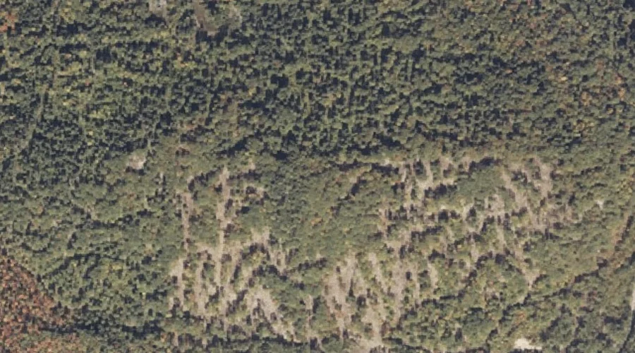
Tibbetts Mountain is a summit in Oxford County, Maine, located about 32.6 miles south-southwest of Chapman Inn in Bethel, Maine. It appears on the USGS Brownfield topographic quadrangle.
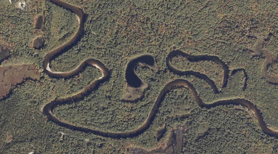
Ash Brook is a stream in Oxford County, Maine, located about 32.6 miles north-northwest of Chapman Inn in Bethel, Maine. It appears on the USGS Middle Dam topographic…
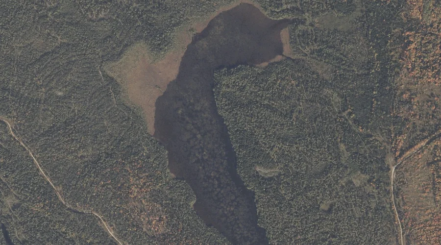
Long Pond is a lake in Oxford County, Maine, located about 32.6 miles north-northwest of Chapman Inn in Bethel, Maine. It appears on the USGS Middle Dam topographic…
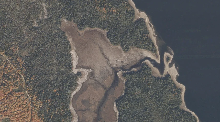
Cranberry Cove is a bay in Oxford County, Maine, located about 32.7 miles north of Chapman Inn in Bethel, Maine. It appears on the USGS Middle Dam topographic…
Boston Pond is a lake in Oxford County, Maine, located about 32.7 miles south of Chapman Inn in Bethel, Maine. It appears on the USGS Hiram topographic quadrangle.
Horseshoe Pond is a lake in Oxford County, Maine, located about 32.7 miles south of Chapman Inn in Bethel, Maine. It appears on the USGS Hiram topographic quadrangle.
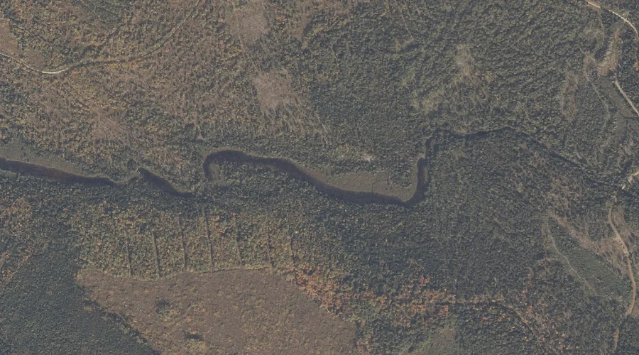
Tenmile River is a stream in Oxford County, Maine, located about 32.7 miles south of Chapman Inn in Bethel, Maine. It appears on the USGS Hiram topographic quadrangle.
Cranberry Pond is a lake in Oxford County, Maine, located about 32.3 miles north-northwest of Chapman Inn in Bethel, Maine. It appears on the USGS Middle Dam topographic…
Allen Mountain is a summit in Oxford County, Maine, located about 32.0 miles south of Chapman Inn in Bethel, Maine. It appears on the USGS Hiram topographic quadrangle.