Big Island is a island in Kennebec County, Maine, located about 40.2 miles east-northeast of Chapman Inn in Bethel, Maine. It appears on the USGS Belgrade Lakes topographic…
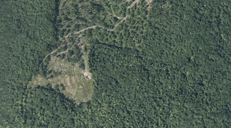
Eaton Mountain is a summit in Kennebec County, Maine, located about 40.2 miles east-northeast of Chapman Inn in Bethel, Maine. It appears on the USGS Belgrade Lakes topographic…
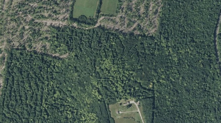
Bowen Hill is a summit in Kennebec County, Maine, located about 40.1 miles east of Chapman Inn in Bethel, Maine. It appears on the USGS Readfield topographic quadrangle.
Mud Mills Stream is a stream in Kennebec County, Maine, located about 40.1 miles east-southeast of Chapman Inn in Bethel, Maine. It appears on the USGS Wayne topographic…
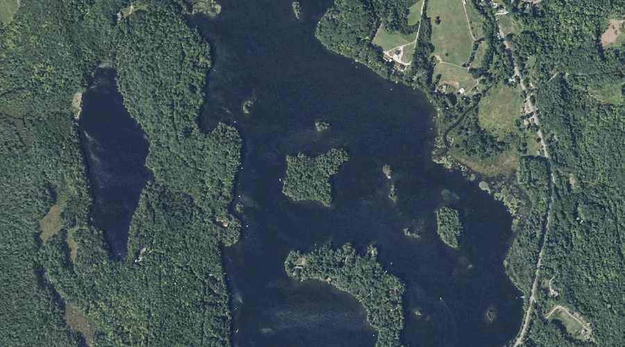
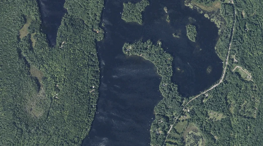
Flying Pond is a reservoir in Kennebec County, Maine, located about 40.1 miles east-northeast of Chapman Inn in Bethel, Maine. It appears on the USGS Belgrade Lakes topographic…
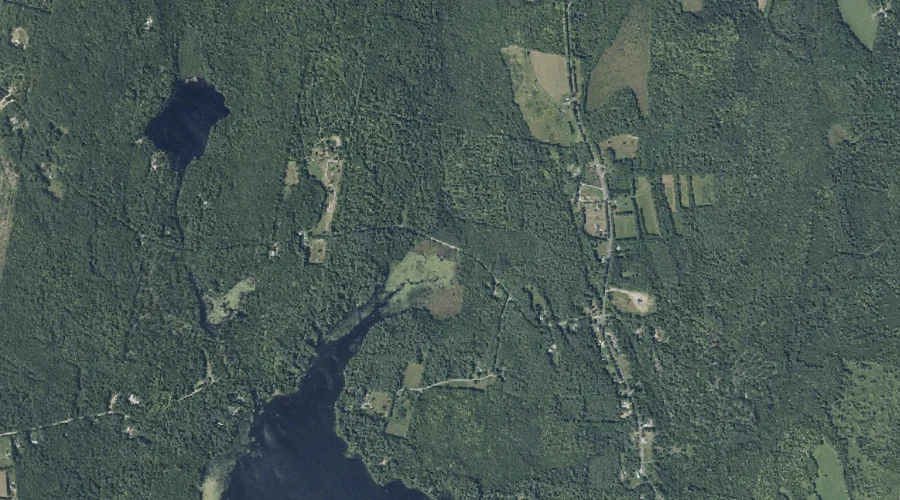
Grist Mill Pond is a reservoir in Kennebec County, Maine, located about 40.1 miles east of Chapman Inn in Bethel, Maine. It appears on the USGS Readfield topographic…
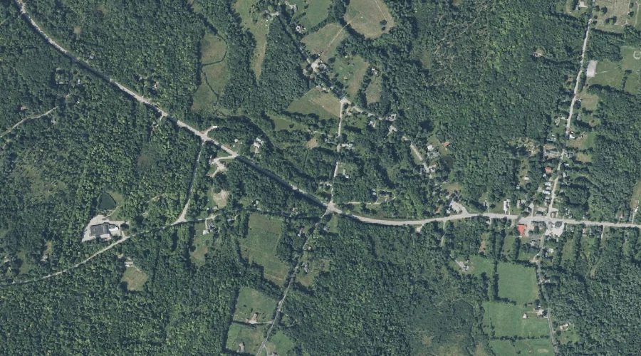
Intervale Brook is a stream in Kennebec County, Maine, located about 40.2 miles east of Chapman Inn in Bethel, Maine. It appears on the USGS Readfield topographic quadrangle.
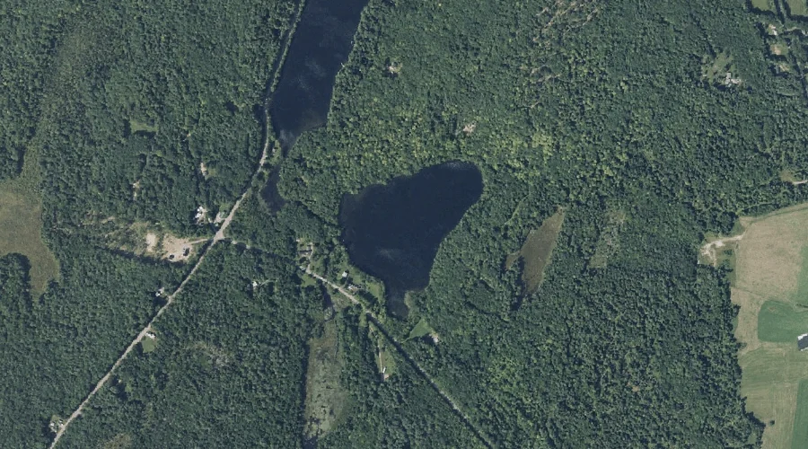
Hopkins Pond is a lake in Kennebec County, Maine, located about 39.9 miles east of Chapman Inn in Bethel, Maine. It appears on the USGS Readfield topographic quadrangle.
Vienna Mountain is a summit in Kennebec County, Maine, located about 39.9 miles east-northeast of Chapman Inn in Bethel, Maine. It appears on the USGS Farmington Falls topographic…
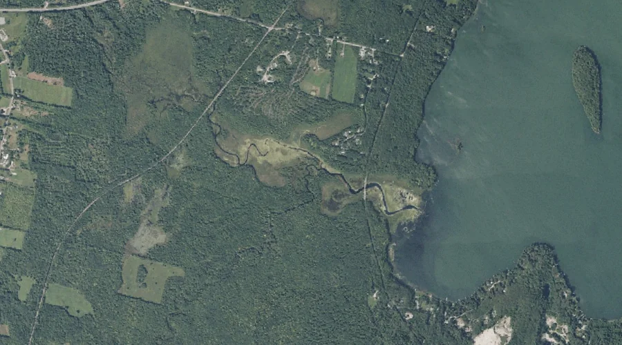
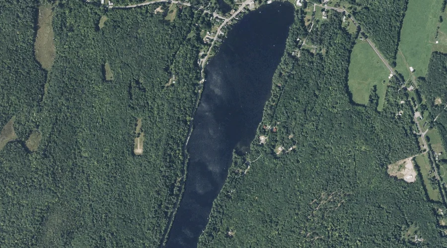
Minnehonk Lake is a lake in Kennebec County, Maine, located about 39.9 miles east of Chapman Inn in Bethel, Maine. It appears on the USGS Readfield topographic quadrangle.