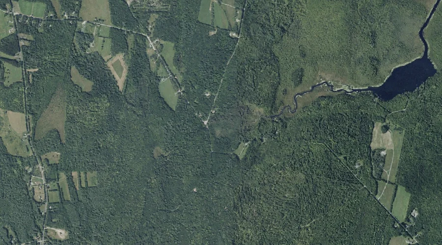
Dilnow Brook is a stream in Kennebec County, Maine, located about 41.5 miles east-southeast of Chapman Inn in Bethel, Maine. It appears on the USGS Monmouth topographic quadrangle.
Moose Pond Stream is a stream in Kennebec County, Maine, located about 41.6 miles east of Chapman Inn in Bethel, Maine. It appears on the USGS Readfield topographic…
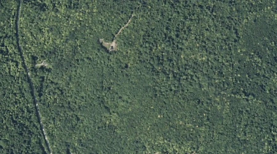
John Brown Mountain is a summit in Kennebec County, Maine, located about 41.3 miles east-northeast of Chapman Inn in Bethel, Maine. It appears on the USGS Belgrade Lakes…
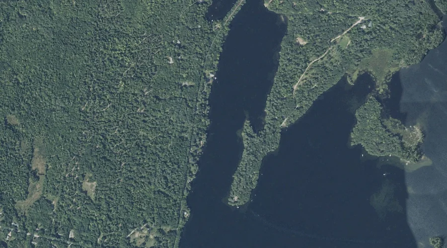
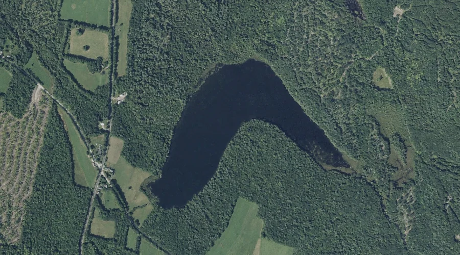
Maranacook Lake is a reservoir in Kennebec County, Maine, located about 41.3 miles east of Chapman Inn in Bethel, Maine. It appears on the USGS Winthrop topographic quadrangle.
Tingley Brook is a stream in Kennebec County, Maine, located about 41.4 miles east of Chapman Inn in Bethel, Maine. It appears on the USGS Readfield topographic quadrangle.
Berry Hill is a summit in Kennebec County, Maine, located about 41.1 miles east-northeast of Chapman Inn in Bethel, Maine. It appears on the USGS Belgrade Lakes topographic…
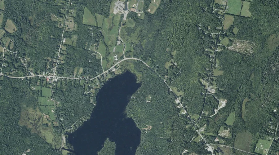
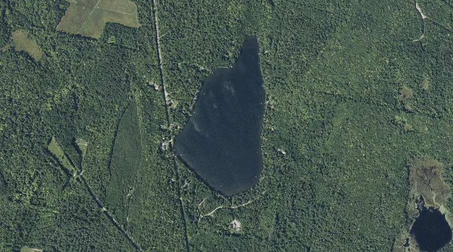
Kimball Pond is a lake in Kennebec County, Maine, located about 41.3 miles east-northeast of Chapman Inn in Bethel, Maine. It appears on the USGS Belgrade Lakes topographic…
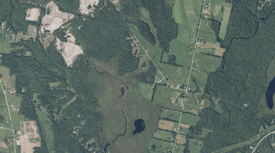
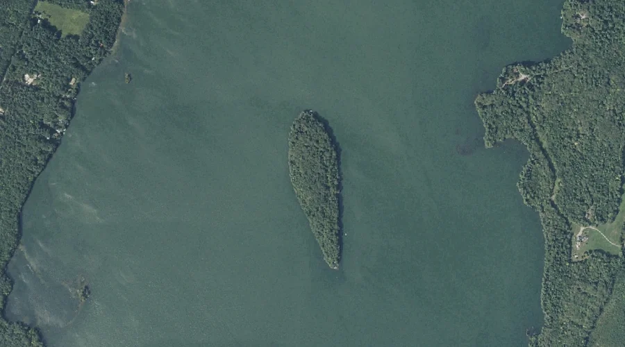
Annabessacook Lake is a lake in Kennebec County, Maine, located about 41.0 miles east-southeast of Chapman Inn in Bethel, Maine. It appears on the USGS Winthrop topographic quadrangle.
Big Island is a island in Kennebec County, Maine, located about 41.1 miles east-southeast of Chapman Inn in Bethel, Maine. It appears on the USGS Winthrop topographic quadrangle.
Moose Pond is a lake in Kennebec County, Maine, located about 40.9 miles east of Chapman Inn in Bethel, Maine. It appears on the USGS Readfield topographic quadrangle.