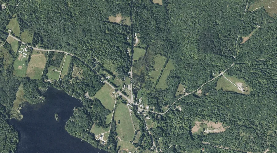
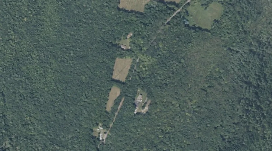
Hoyt Hill is a summit in Kennebec County, Maine, located about 40.9 miles east-northeast of Chapman Inn in Bethel, Maine. It appears on the USGS Belgrade Lakes topographic…
Monmouth Ridge is a ridge in Kennebec County, Maine, located about 40.8 miles east-southeast of Chapman Inn in Bethel, Maine. It appears on the USGS Monmouth topographic quadrangle.
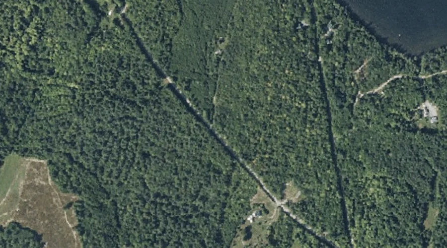
Hoyt Brook is a stream in Kennebec County, Maine, located about 40.8 miles east-southeast of Chapman Inn in Bethel, Maine. It appears on the USGS Winthrop topographic quadrangle.
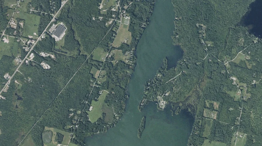
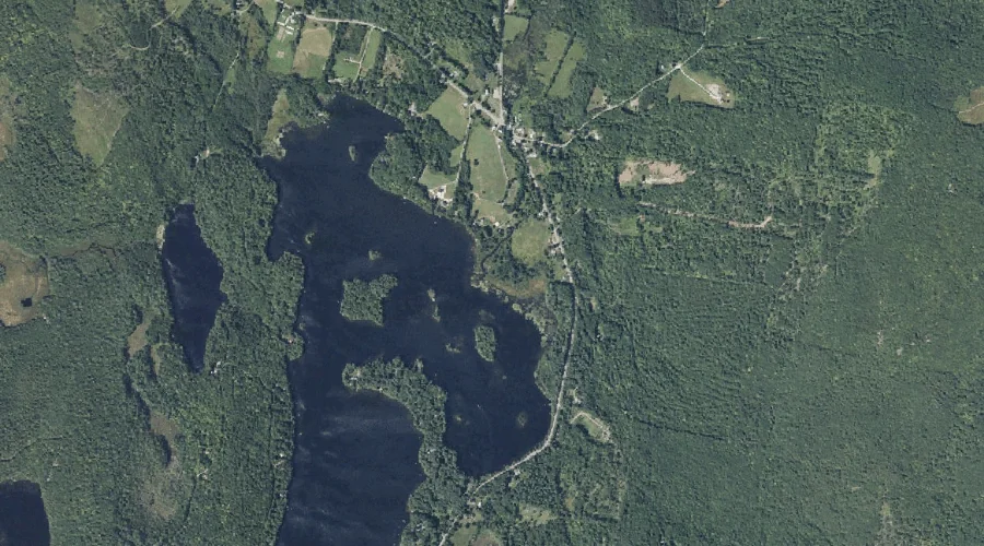
Mill Pond is a reservoir in Kennebec County, Maine, located about 40.7 miles east-northeast of Chapman Inn in Bethel, Maine. It appears on the USGS Belgrade Lakes topographic…
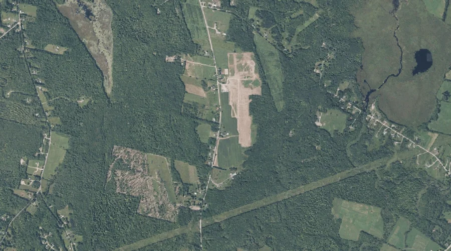
Prescott Hill is a summit in Kennebec County, Maine, located about 40.5 miles east-southeast of Chapman Inn in Bethel, Maine. It appears on the USGS Monmouth topographic quadrangle.
Mill Stream is a stream in Kennebec County, Maine, located about 40.5 miles east-northeast of Chapman Inn in Bethel, Maine. It appears on the USGS Belgrade Lakes topographic…
Wilson Stream is a stream in Kennebec County, Maine, located about 40.6 miles east-southeast of Chapman Inn in Bethel, Maine. It appears on the USGS Winthrop topographic quadrangle.
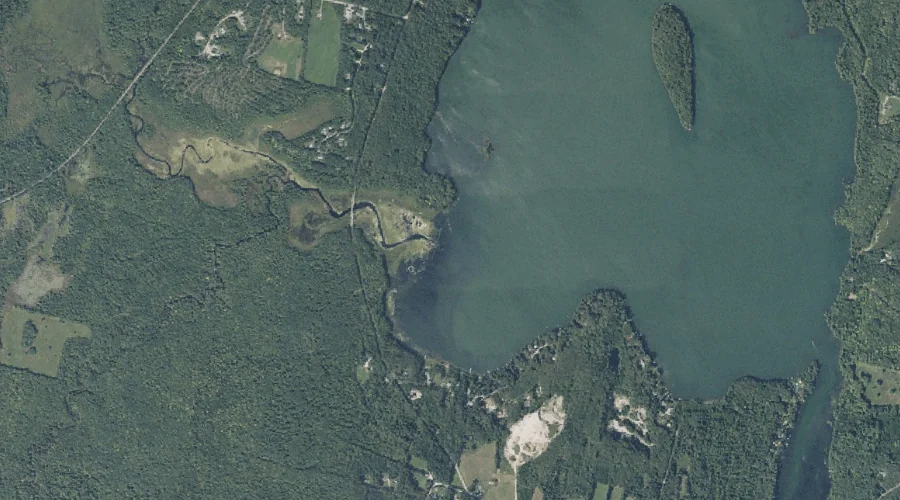
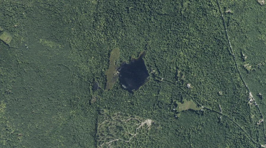
Davis Pond is a lake in Kennebec County, Maine, located about 40.4 miles east-northeast of Chapman Inn in Bethel, Maine. It appears on the USGS Belgrade Lakes topographic…
York Hill is a summit in Kennebec County, Maine, located about 40.2 miles east-northeast of Chapman Inn in Bethel, Maine. It appears on the USGS Farmington Falls topographic…
Sawyer Hill is a summit in Kennebec County, Maine, located about 40.2 miles east-southeast of Chapman Inn in Bethel, Maine. It appears on the USGS Monmouth topographic quadrangle.