 Aerial imagery: USGS National Map (public domain)
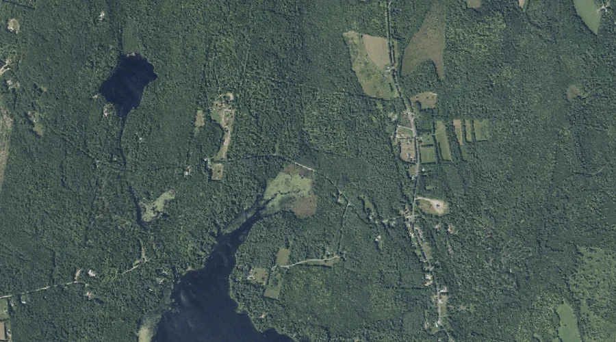
Intervale Brook — Streams 40.2 Miles E of Chapman Inn
Kennebec County, Maine · USGS Readfield Quadrangle · GNIS 568658
Within Kennebec County, Maine, on the USGS Readfield quadrangle, the stream known as Intervale Brook sits 40.2 miles east of Chapman Inn.
Landmark Profile
Classification & USGS reference
Within Kennebec County, Maine, the U.S. Geological Survey lists Intervale Brook as a stream on the Readfield topographic quadrangle (FIPS 23/011), under Feature ID 568658. Catalogued in GNIS since 09/30/1980.
Coordinates & physical setting
Intervale Brook sits at 44.44312° N, 69.97700° W (DMS 44°26′35″ N, 69°58′37″ W).
As a linear feature its source lies near 44.46111° N, 69.97611° W (DMS 44°27′40″ N, 69°58′34″ W) — useful for anglers and paddlers tracing the upstream end.
Other streams in Kennebec County, Maine
Kennebec County, ME contains 43 streams catalogued in the USGS Geographic Names Information System, counting Intervale Brook itself. The ones closest to Intervale Brook:
| Feature | USGS Quadrangle | Distance |
|---|---|---|
| Moose Pond Stream | Readfield | 1.5 mi |
| Hopkins Stream | Fayette | 2 mi |
| Bog Stream | Readfield | 3.8 mi |
| Ingham Stream | Readfield | 3.8 mi |
| Tingley Brook | Readfield | 4 mi |
| Meadow Brook | Readfield | 4.7 mi |
| Stony Brook | Belgrade Lakes | 5.1 mi |
| Mill Stream | Belgrade Lakes | 5.9 mi |
| Hoyt Brook | Belgrade | 6 mi |
| Sanford Brook | Belgrade | 6.1 mi |
Features on the USGS Readfield Quadrangle
The Readfield 7.5-minute topographic quadrangle holds 17 catalogued natural features alongside Intervale Brook. A sampling nearest to this location:
| Feature | Type | County | Offset |
|---|---|---|---|
| Desert Pond | Lakes | Kennebec County, ME | 0.8 mi |
| Moose Pond Stream | Streams | Kennebec County, ME | 1.5 mi |
| Torsey Lake | Reservoirs | Kennebec County, ME | 1.5 mi |
| Bowen Hill | Summits | Kennebec County, ME | 1.7 mi |
| Moose Pond | Lakes | Kennebec County, ME | 2.2 mi |
| Inghan Pond | Lakes | Kennebec County, ME | 2.4 mi |
| Hornbeam Mountain | Summits | Kennebec County, ME | 2.6 mi |
| Hopkins Pond | Lakes | Kennebec County, ME | 3.1 mi |
| Minnehonk Lake | Lakes | Kennebec County, ME | 3.7 mi |
| Grist Mill Pond | Reservoirs | Kennebec County, ME | 3.7 mi |
Historical record
The U.S. Board on Geographic Names recorded a Official (Board Decision) on January 1, 1976 for this name.
Visiting from Chapman Inn
Distance, bearing & drive time
Follow the compass bearing E out of Bethel for 40.2 miles (east) and you reach Intervale Brook; at typical rural speeds the trip runs roughly 69 minutes.
Best time to visit
Best observed in late spring and early summer when flow is strong and banks are visible. At this latitude (44.443°), the shoulder seasons are workable — April and November can be comfortable on mild years. At 40.2 miles from the Inn, block the full day — sunrise start, late return, packed meals. Conditions at Intervale Brook track the nearby Desert Pond lake (0.8 mi away) closely — if that is runnable, so is this.
Nearest features to Intervale Brook
| Feature | Type | County | Distance |
|---|---|---|---|
| Desert Pond | Lakes | Kennebec County, ME | 0.8 mi |
| Moose Pond Stream | Streams | Kennebec County, ME | 1.5 mi |
| Torsey Lake | Reservoirs | Kennebec County, ME | 1.5 mi |
| Bowen Hill | Summits | Kennebec County, ME | 1.7 mi |
| Hopkins Stream | Streams | Kennebec County, ME | 2 mi |
Frequently Asked Questions
Where is Intervale Brook located?
Intervale Brook is in Kennebec County, Maine, approximately 40.2 miles east of Chapman Inn in Bethel, Maine. It appears on the USGS Readfield topographic quadrangle.
How far is Intervale Brook from Chapman Inn?
The drive runs about 69 minutes, 40.2 miles east (bearing E) of the Inn.
What type of natural feature is Intervale Brook?
The U.S. Geological Survey classifies Intervale Brook as a stream, catalogued under GNIS Feature ID 568658 on the Readfield quadrangle.
When is the best time to visit Intervale Brook?
Best observed in late spring and early summer when flow is strong and banks are visible.
How many other streams are in Kennebec County, Maine?
GNIS lists 42 other streams in Kennebec County, Maine.