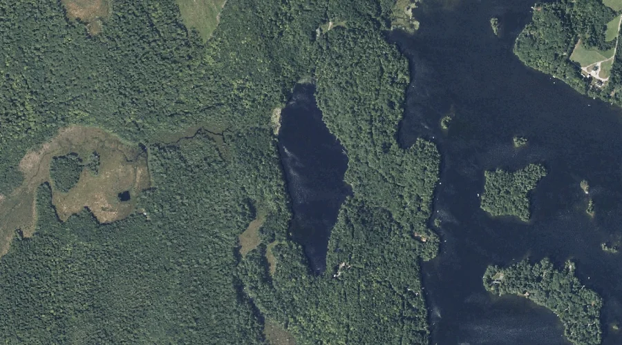
Black Pond is a lake in Kennebec County, Maine, located about 39.8 miles east-northeast of Chapman Inn in Bethel, Maine. It appears on the USGS Farmington Falls topographic…
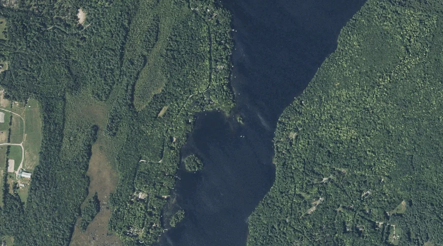
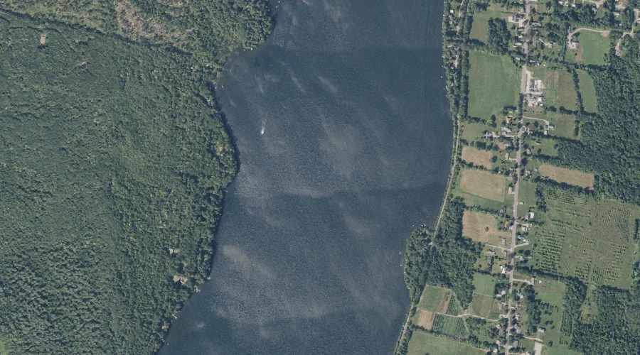
Torsey Lake is a reservoir in Kennebec County, Maine, located about 39.6 miles east of Chapman Inn in Bethel, Maine. It appears on the USGS Readfield topographic quadrangle.
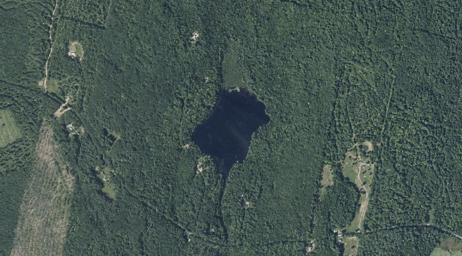
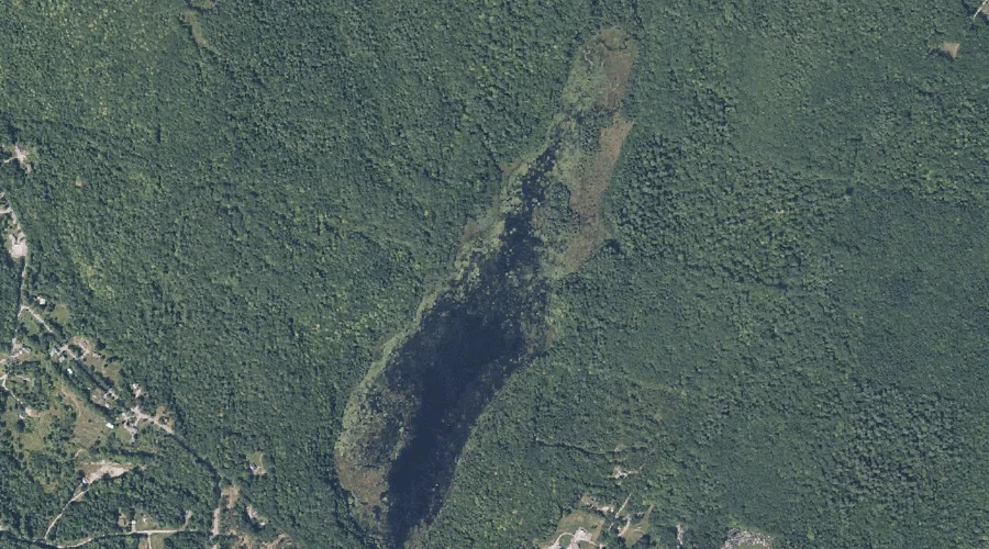
Desert Pond is a lake in Kennebec County, Maine, located about 39.5 miles east of Chapman Inn in Bethel, Maine. It appears on the USGS Readfield topographic quadrangle.
Thompson Hill is a summit in Kennebec County, Maine, located about 39.3 miles east-southeast of Chapman Inn in Bethel, Maine. It appears on the USGS Monmouth topographic quadrangle.
Tannery Brook is a stream in Kennebec County, Maine, located about 39.1 miles east-southeast of Chapman Inn in Bethel, Maine. It appears on the USGS Wayne topographic quadrangle.
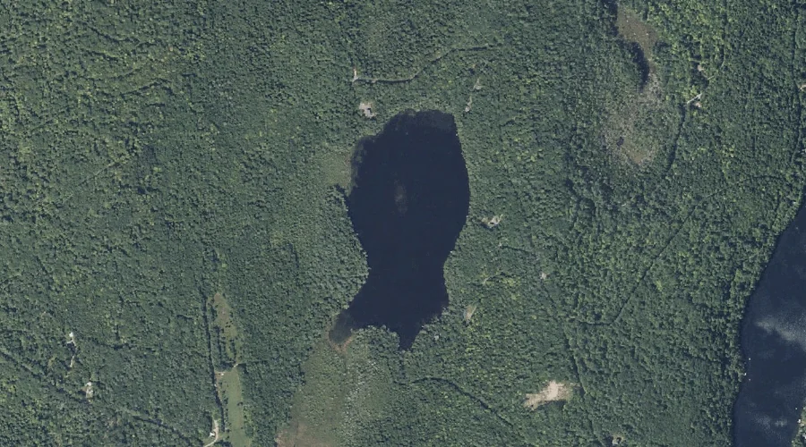
Whittier Pond is a lake in Kennebec County, Maine, located about 39.2 miles east-northeast of Chapman Inn in Bethel, Maine. It appears on the USGS Farmington Falls topographic…
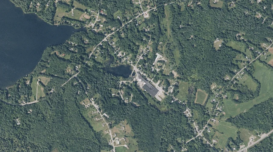
Cochnewagon Lake is a lake in Kennebec County, Maine, located about 38.7 miles east-southeast of Chapman Inn in Bethel, Maine. It appears on the USGS Monmouth topographic quadrangle.
Apple Valley Lake is a reservoir in Kennebec County, Maine, located about 38.7 miles east of Chapman Inn in Bethel, Maine. It appears on the USGS Wayne topographic…
Wilson Stream Reservoir is a reservoir in Kennebec County, Maine, located about 38.7 miles east-southeast of Chapman Inn in Bethel, Maine. It appears on the USGS Wayne topographic…
Hopkins Stream is a stream in Kennebec County, Maine, located about 38.7 miles east of Chapman Inn in Bethel, Maine. It appears on the USGS Fayette topographic quadrangle.