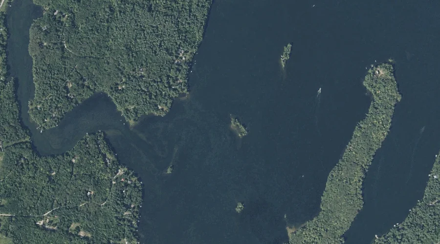
Merrill Island is a island in Kennebec County, Maine, located about 42.3 miles east-southeast of Chapman Inn in Bethel, Maine. It appears on the USGS Purgatory topographic quadrangle.
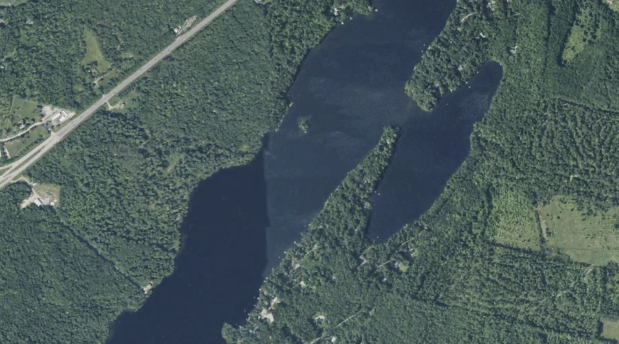
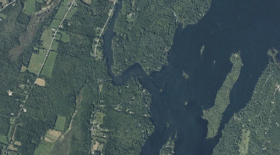
Upper Narrows Pond is a lake in Kennebec County, Maine, located about 42.4 miles east of Chapman Inn in Bethel, Maine. It appears on the USGS Winthrop topographic…
Lower Narrows Pond is a lake in Kennebec County, Maine, located about 42.2 miles east of Chapman Inn in Bethel, Maine. It appears on the USGS Winthrop topographic…
Scott Island is a island in Kennebec County, Maine, located about 42.2 miles east-southeast of Chapman Inn in Bethel, Maine. It appears on the USGS Purgatory topographic quadrangle.
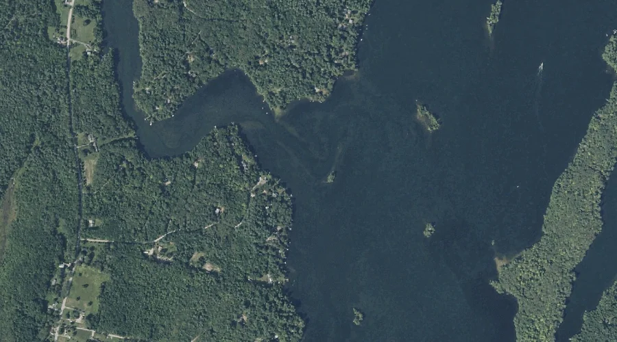
Jug Stream is a stream in Kennebec County, Maine, located about 42.0 miles east-southeast of Chapman Inn in Bethel, Maine. It appears on the USGS Purgatory topographic quadrangle.
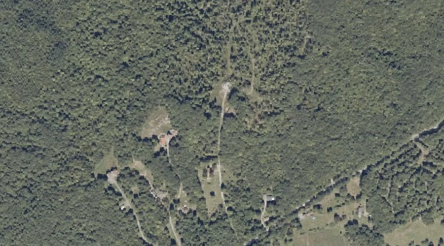
Oak Hill is a summit in Kennebec County, Maine, located about 41.8 miles east-southeast of Chapman Inn in Bethel, Maine. It appears on the USGS Monmouth topographic quadrangle.
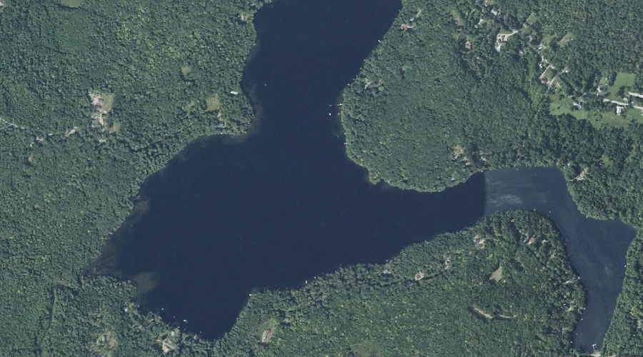
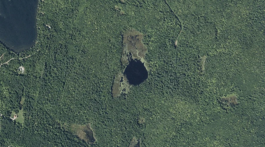
Boody Pond is a lake in Kennebec County, Maine, located about 41.8 miles east-northeast of Chapman Inn in Bethel, Maine. It appears on the USGS Belgrade Lakes topographic…
McGaffey Mountain is a summit in Kennebec County, Maine, located about 41.8 miles east-northeast of Chapman Inn in Bethel, Maine. It appears on the USGS Belgrade Lakes topographic…
Hornbeam Mountain is a summit in Kennebec County, Maine, located about 41.6 miles east of Chapman Inn in Bethel, Maine. It appears on the USGS Readfield topographic quadrangle.
Doloff Pond is a lake in Kennebec County, Maine, located about 41.7 miles east of Chapman Inn in Bethel, Maine. It appears on the USGS Belgrade Lakes topographic…