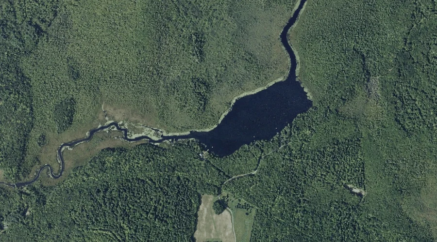
Inghan Pond is a lake in Kennebec County, Maine, located about 42.5 miles east of Chapman Inn in Bethel, Maine. It appears on the USGS Readfield topographic quadrangle.
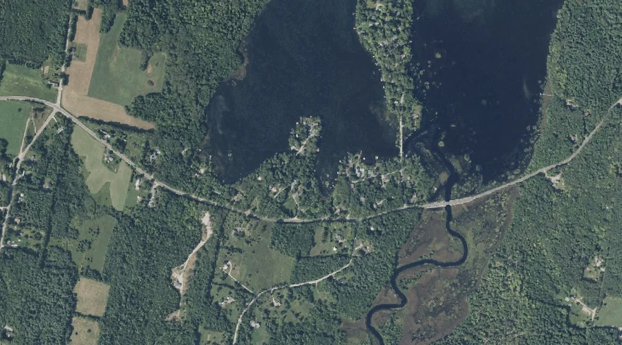
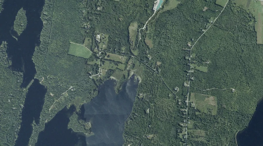
Dismal Swamp is a swamp in Kennebec County, Maine, located about 42.4 miles east-southeast of Chapman Inn in Bethel, Maine. It appears on the USGS Purgatory topographic quadrangle.
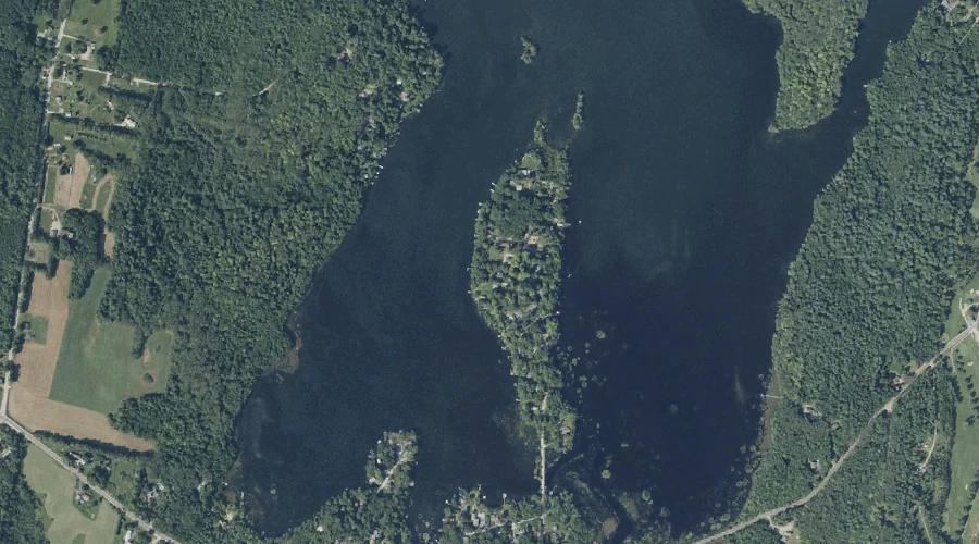
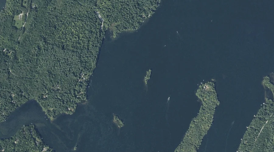
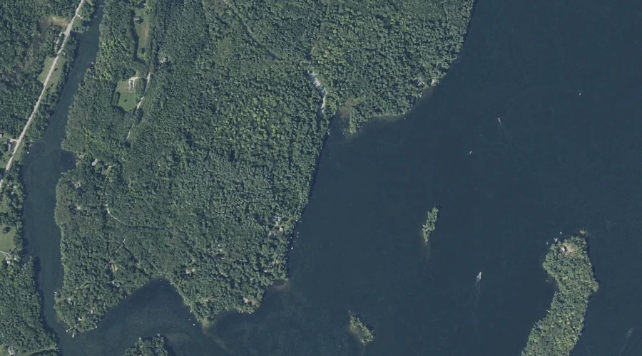
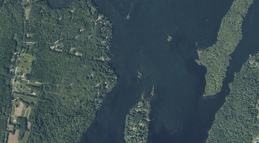
Maple Ridge Island is a island in Kennebec County, Maine, located about 42.4 miles east-southeast of Chapman Inn in Bethel, Maine. It appears on the USGS Purgatory topographic…
Green Island is a island in Kennebec County, Maine, located about 42.4 miles east-southeast of Chapman Inn in Bethel, Maine. It appears on the USGS Purgatory topographic quadrangle.
Pine Island is a island in Kennebec County, Maine, located about 42.4 miles east-southeast of Chapman Inn in Bethel, Maine. It appears on the USGS Purgatory topographic quadrangle.
Lovers Island is a island in Kennebec County, Maine, located about 42.5 miles east-southeast of Chapman Inn in Bethel, Maine. It appears on the USGS Purgatory topographic quadrangle.
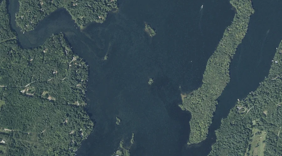
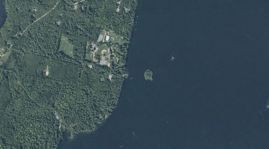
Undine Bay is a bay in Kennebec County, Maine, located about 42.2 miles east-southeast of Chapman Inn in Bethel, Maine. It appears on the USGS Purgatory topographic quadrangle.
Beaver Brook is a stream in Kennebec County, Maine, located about 42.3 miles east of Chapman Inn in Bethel, Maine. It appears on the USGS Winthrop topographic quadrangle.
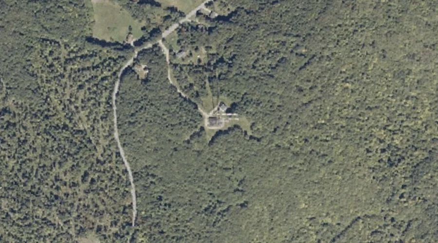
Danforth Hill is a summit in Kennebec County, Maine, located about 42.3 miles east-southeast of Chapman Inn in Bethel, Maine. It appears on the USGS Monmouth topographic quadrangle.
Blue Bell Island is a island in Kennebec County, Maine, located about 42.3 miles east-southeast of Chapman Inn in Bethel, Maine. It appears on the USGS Purgatory topographic…