 Aerial imagery: USGS National Map (public domain)
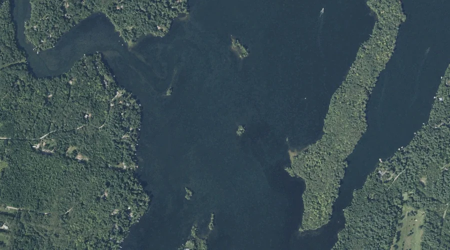
Green Island — Islands 42.4 Miles ESE of Chapman Inn
Kennebec County, Maine · USGS Purgatory Quadrangle · GNIS 567218
Within Kennebec County, Maine, on the USGS Purgatory quadrangle, the island known as Green Island sits 42.4 miles east-southeast of Chapman Inn.
Landmark Profile
Classification & USGS reference
Within Kennebec County, Maine, the U.S. Geological Survey lists Green Island as a island on the Purgatory topographic quadrangle (FIPS 23/011), under Feature ID 567218. Catalogued in GNIS since 09/30/1980.
Coordinates & physical setting
Green Island sits at 44.22868° N, 69.96672° W (DMS 44°13′43″ N, 69°58′00″ W).
Other islands in Kennebec County, Maine
Kennebec County, ME contains 50 islands catalogued in the USGS Geographic Names Information System, counting Green Island itself. The ones closest to Green Island:
| Feature | USGS Quadrangle | Distance |
|---|---|---|
| Scott Island | Purgatory | 0.2 mi |
| Merrill Island | Purgatory | 0.2 mi |
| Blue Bell Island | Purgatory | 0.3 mi |
| Sheep Island | Purgatory | 0.3 mi |
| Pine Island | Purgatory | 0.5 mi |
| Maple Ridge Island | Purgatory | 0.5 mi |
| Lovers Island | Purgatory | 1 mi |
| Grape Island | Purgatory | 1.3 mi |
| LeClair Island | Purgatory | 1.5 mi |
| Goodwin Island | Purgatory | 1.6 mi |
Features on the USGS Purgatory Quadrangle
The Purgatory 7.5-minute topographic quadrangle holds 45 catalogued natural features alongside Green Island. A sampling nearest to this location:
| Feature | Type | County | Offset |
|---|---|---|---|
| Scott Island | Islands | Kennebec County, ME | 0.2 mi |
| Merrill Island | Islands | Kennebec County, ME | 0.2 mi |
| Blue Bell Island | Islands | Kennebec County, ME | 0.3 mi |
| Sheep Island | Islands | Kennebec County, ME | 0.3 mi |
| Jug Stream | Streams | Kennebec County, ME | 0.4 mi |
| Pine Island | Islands | Kennebec County, ME | 0.5 mi |
| Ballard Bay | Bays | Kennebec County, ME | 0.5 mi |
| Maple Ridge Island | Islands | Kennebec County, ME | 0.5 mi |
| Undine Bay | Bays | Kennebec County, ME | 0.6 mi |
| Norris Point | Capes | Kennebec County, ME | 0.8 mi |
Visiting from Chapman Inn
Distance, bearing & drive time
Follow the compass bearing ESE out of Bethel for 42.4 miles (east-southeast) and you reach Green Island; at typical rural speeds the trip runs roughly 73 minutes.
Best time to visit
Late May through early October, when the water is safe for small-boat access. At this latitude (44.229°), the shoulder seasons are workable — April and November can be comfortable on mild years. At 42.4 miles from the Inn, block the full day — sunrise start, late return, packed meals. Conditions at Green Island track the nearby Scott Island (0.2 mi away) closely — if that is runnable, so is this.
Nearest features to Green Island
| Feature | Type | County | Distance |
|---|---|---|---|
| Scott Island | Islands | Kennebec County, ME | 0.2 mi |
| Merrill Island | Islands | Kennebec County, ME | 0.2 mi |
| Blue Bell Island | Islands | Kennebec County, ME | 0.3 mi |
| Sheep Island | Islands | Kennebec County, ME | 0.3 mi |
| Jug Stream | Streams | Kennebec County, ME | 0.4 mi |
Frequently Asked Questions
Where is Green Island located?
Green Island is in Kennebec County, Maine, approximately 42.4 miles east-southeast of Chapman Inn in Bethel, Maine. It appears on the USGS Purgatory topographic quadrangle.
How far is Green Island from Chapman Inn?
The drive runs about 73 minutes, 42.4 miles east-southeast (bearing ESE) of the Inn.
What type of natural feature is Green Island?
The U.S. Geological Survey classifies Green Island as a island, catalogued under GNIS Feature ID 567218 on the Purgatory quadrangle.
When is the best time to visit Green Island?
Late May through early October, when the water is safe for small-boat access.
How many other islands are in Kennebec County, Maine?
GNIS lists 49 other islands in Kennebec County, Maine.
Wikidata: Q49639671.