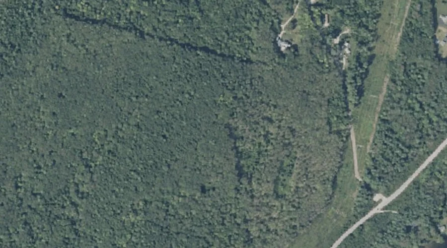
Yallaly Hill is a summit in Kennebec County, Maine, located about 43.4 miles east-northeast of Chapman Inn in Bethel, Maine. It appears on the USGS Belgrade Lakes topographic…
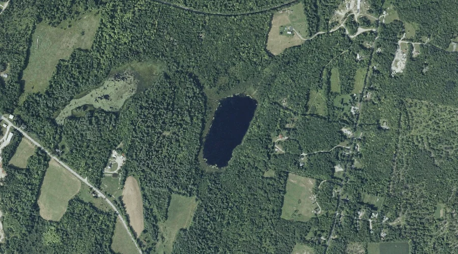
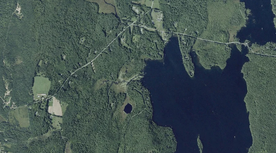
Buker Pond is a lake in Kennebec County, Maine, located about 43.2 miles east-southeast of Chapman Inn in Bethel, Maine. It appears on the USGS Purgatory topographic quadrangle.
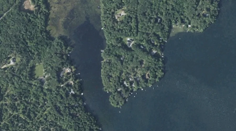
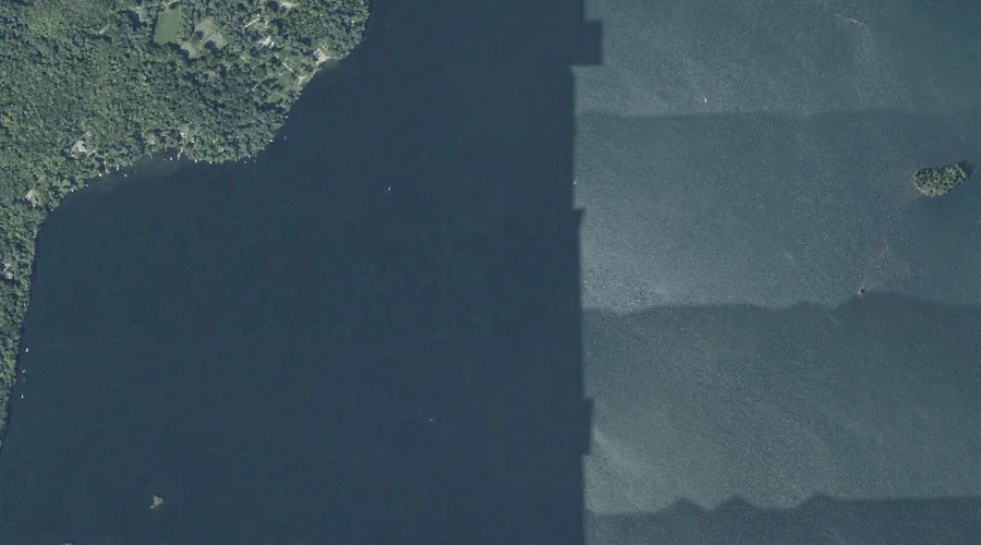
West Point is a cape in Kennebec County, Maine, located about 43.2 miles east-southeast of Chapman Inn in Bethel, Maine. It appears on the USGS Winthrop topographic quadrangle.
Long Pond is a reservoir in Kennebec County, Maine, located about 43.3 miles east of Chapman Inn in Bethel, Maine. It appears on the USGS Belgrade Lakes topographic…
Woodbury Hills is a summit in Kennebec County, Maine, located about 43.1 miles east-southeast of Chapman Inn in Bethel, Maine. It appears on the USGS Purgatory topographic quadrangle.
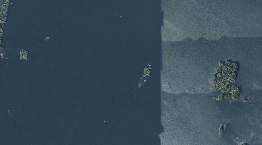
Grape Island is a island in Kennebec County, Maine, located about 43.1 miles east-southeast of Chapman Inn in Bethel, Maine. It appears on the USGS Purgatory topographic quadrangle.
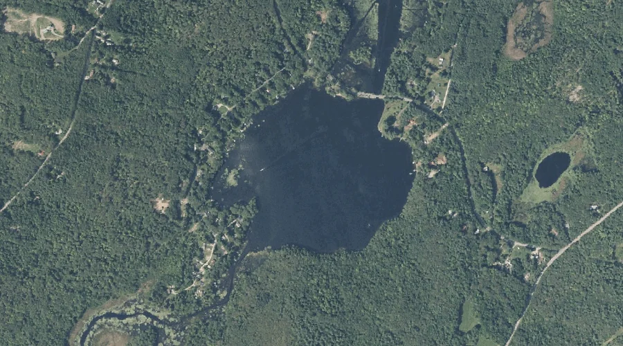
Brainard Pond is a lake in Kennebec County, Maine, located about 43.2 miles east of Chapman Inn in Bethel, Maine. It appears on the USGS Winthrop topographic quadrangle.
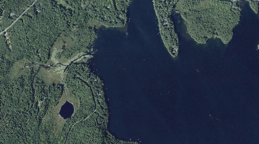
South Bay is a bay in Kennebec County, Maine, located about 43.0 miles east-southeast of Chapman Inn in Bethel, Maine. It appears on the USGS Purgatory topographic quadrangle.
Stony Brook is a stream in Kennebec County, Maine, located about 43.0 miles east of Chapman Inn in Bethel, Maine. It appears on the USGS Belgrade Lakes topographic…
Round Top is a summit in Kennebec County, Maine, located about 43.0 miles east-northeast of Chapman Inn in Bethel, Maine. It appears on the USGS Belgrade Lakes topographic…