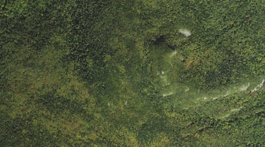
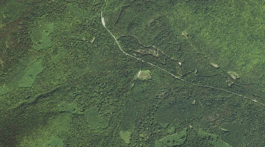
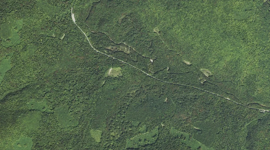
Black Brook is a stream in Grafton County, New Hampshire, located about 42.3 miles west-southwest of Chapman Inn in Bethel, Maine. It appears on the USGS Mount Osceola…
Hancock Notch is a mountain gap in Grafton County, New Hampshire, located about 42.3 miles southwest of Chapman Inn in Bethel, Maine. It appears on the USGS Mount…
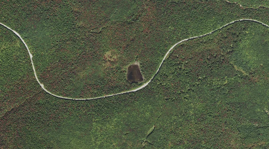
Lily Pond is a lake in Grafton County, New Hampshire, located about 42.4 miles southwest of Chapman Inn in Bethel, Maine. It appears on the USGS Mount Carrigain…
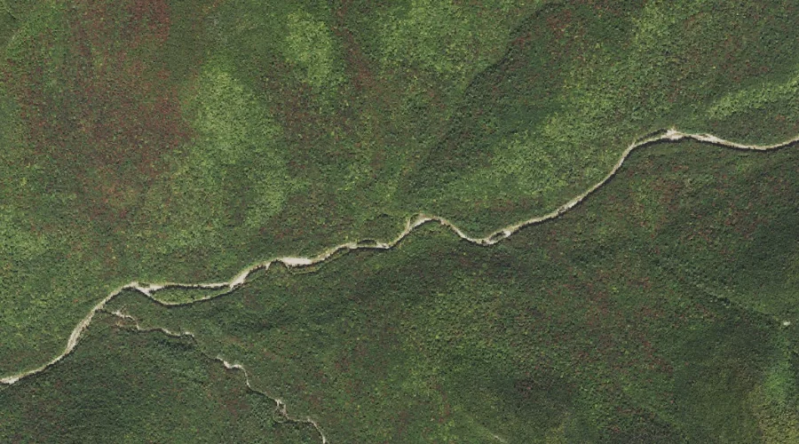
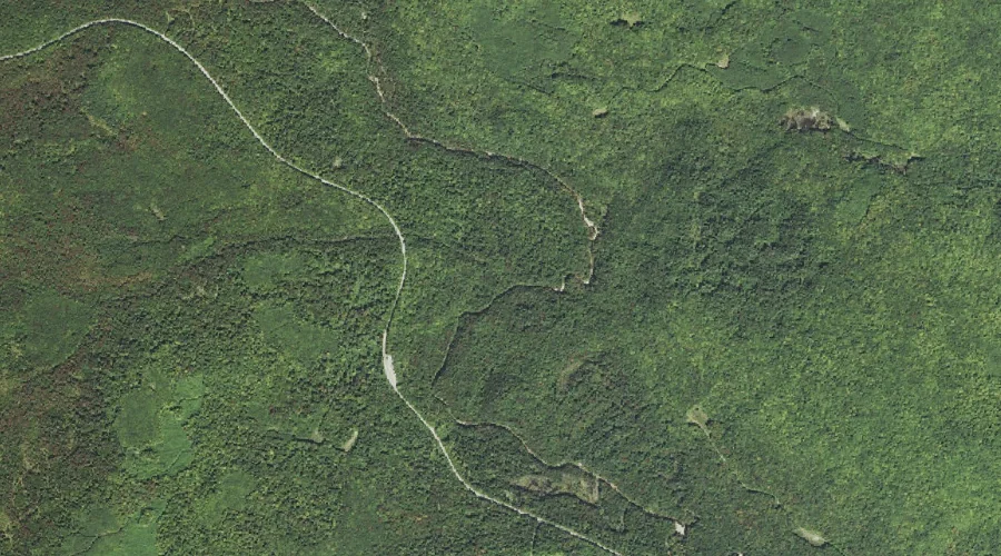
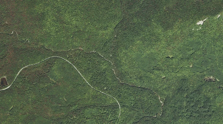
Horne Brook is a stream in Grafton County, New Hampshire, located about 41.9 miles southwest of Chapman Inn in Bethel, Maine. It appears on the USGS Mount Carrigain…
Potash Mountain is a summit in Grafton County, New Hampshire, located about 41.7 miles southwest of Chapman Inn in Bethel, Maine. It appears on the USGS Mount Tripyramid…
Galehead Mountain is a summit in Grafton County, New Hampshire, located about 41.7 miles west-southwest of Chapman Inn in Bethel, Maine. It appears on the USGS South Twin…
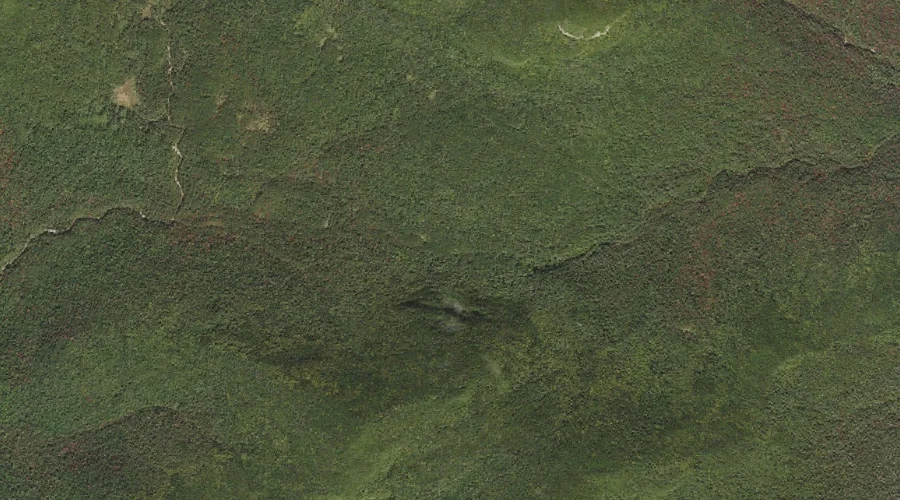
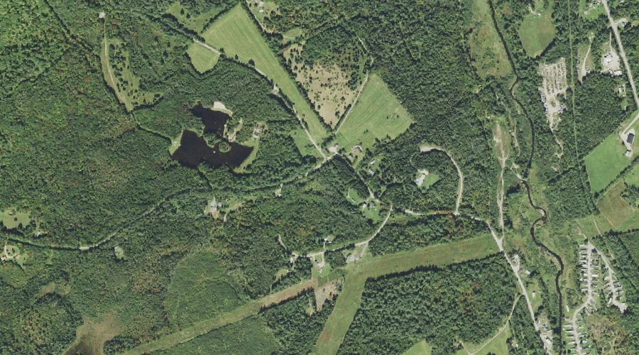
Gold Mine Pond (historical) is a reservoir in Grafton County, New Hampshire, located about 41.7 miles west of Chapman Inn in Bethel, Maine. It appears on the USGS…
Pine Bend Brook is a stream in Grafton County, New Hampshire, located about 41.7 miles southwest of Chapman Inn in Bethel, Maine. It appears on the USGS Mount…
Ledge Brook is a stream in Grafton County, New Hampshire, located about 41.4 miles southwest of Chapman Inn in Bethel, Maine. It appears on the USGS Mount Carrigain…
Meadow Brook is a stream in Grafton County, New Hampshire, located about 41.3 miles southwest of Chapman Inn in Bethel, Maine. It appears on the USGS Mount Carrigain…