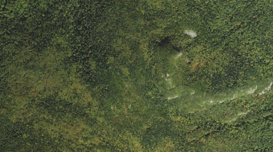
North Twin Mountain is a summit in Grafton County, New Hampshire, located about 40.5 miles west-southwest of Chapman Inn in Bethel, Maine. It appears on the USGS South…
Mount Guyot is a summit in Grafton County, New Hampshire, located about 40.3 miles west-southwest of Chapman Inn in Bethel, Maine. It appears on the USGS South Twin…
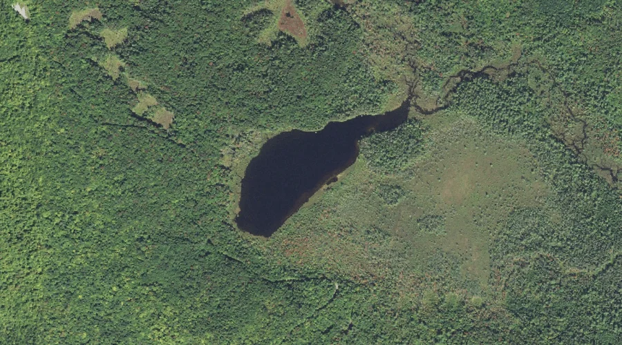
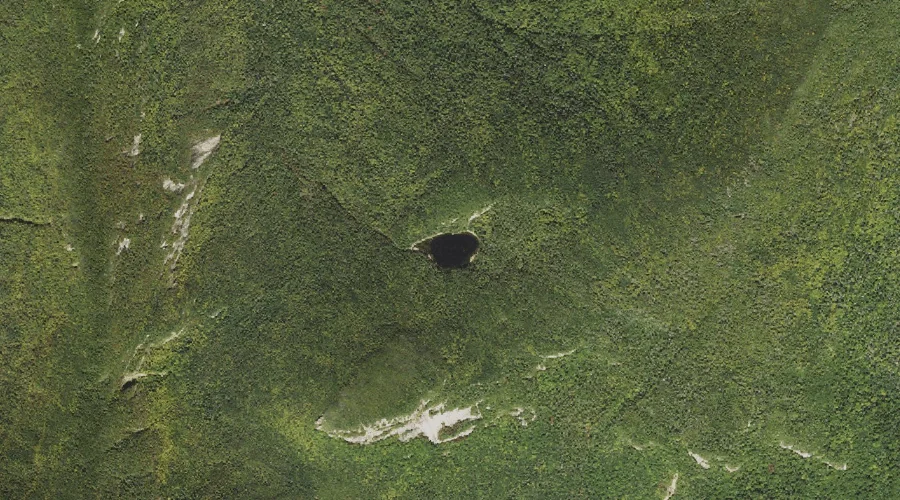
Church Ponds is a lake in Grafton County, New Hampshire, located about 40.2 miles southwest of Chapman Inn in Bethel, Maine. It appears on the USGS Mount Carrigain…
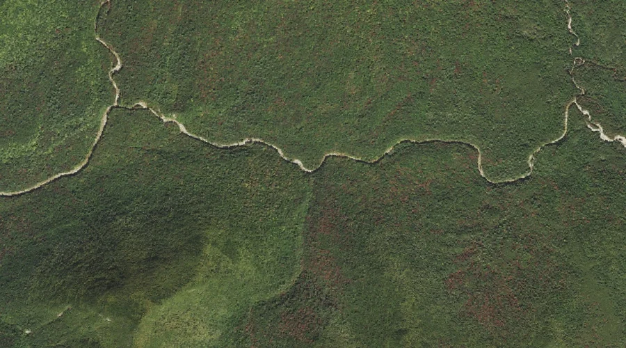
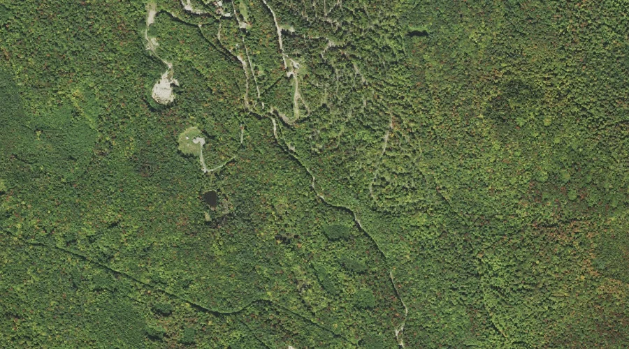
Crystal Brook is a stream in Grafton County, New Hampshire, located about 40.1 miles west-southwest of Chapman Inn in Bethel, Maine. It appears on the USGS Mount Carrigain…
Haystack Brook is a stream in Grafton County, New Hampshire, located about 40.2 miles west-southwest of Chapman Inn in Bethel, Maine. It appears on the USGS Twin Mountain…
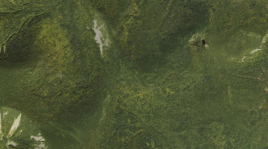
Carrigain Pond is a lake in Grafton County, New Hampshire, located about 39.9 miles west-southwest of Chapman Inn in Bethel, Maine. It appears on the USGS Mount Carrigain…
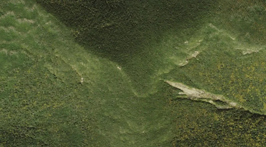
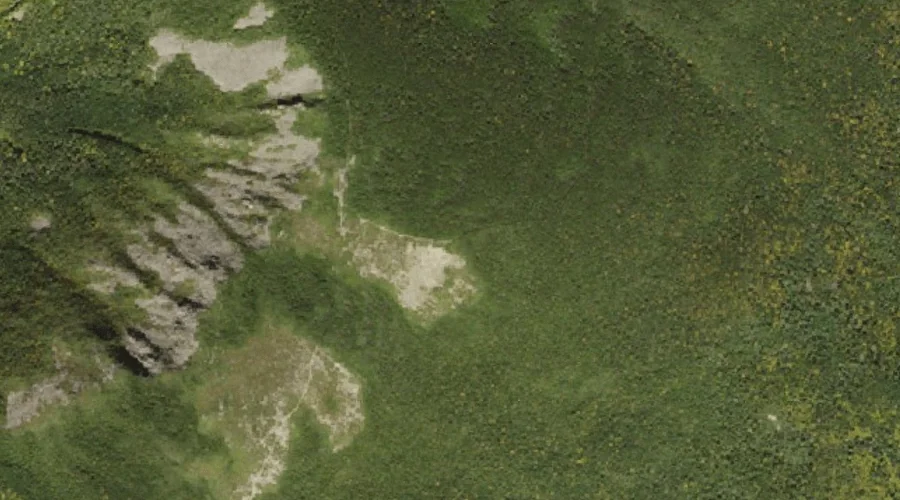
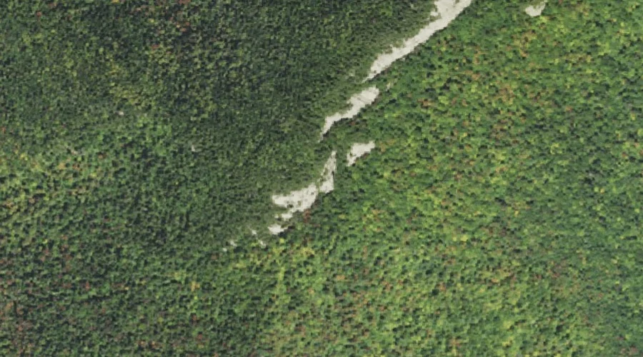
Greens Cliff is a cliff face in Grafton County, New Hampshire, located about 39.8 miles southwest of Chapman Inn in Bethel, Maine. It appears on the USGS Mount…
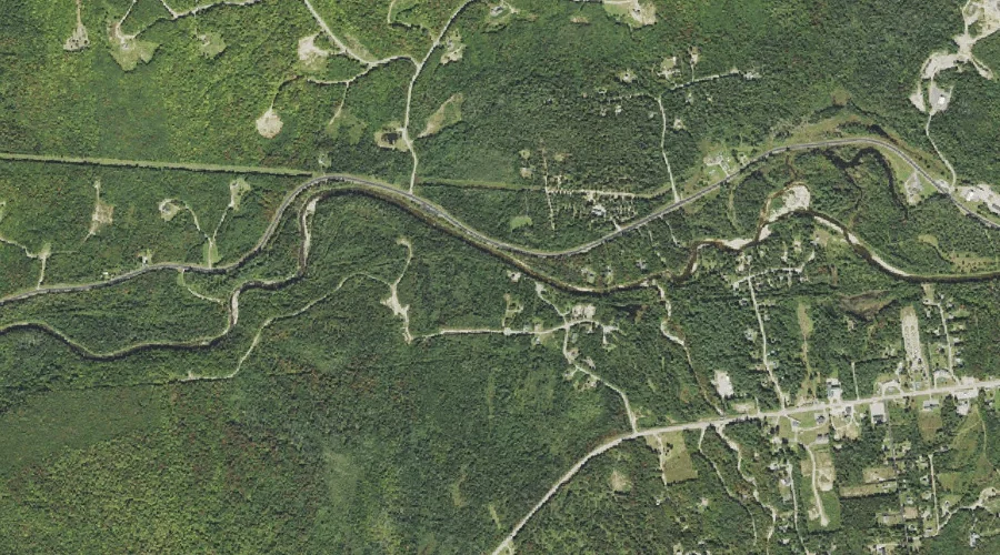
Twin Mountain Reservoir is a reservoir in Grafton County, New Hampshire, located about 39.4 miles west-southwest of Chapman Inn in Bethel, Maine. It appears on the USGS South…
Zealand Ridge is a ridge in Grafton County, New Hampshire, located about 39.4 miles west-southwest of Chapman Inn in Bethel, Maine. It appears on the USGS South Twin…
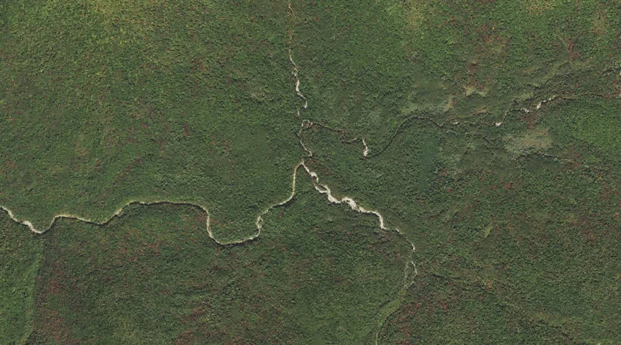
Carrigain Branch is a stream in Grafton County, New Hampshire, located about 39.1 miles west-southwest of Chapman Inn in Bethel, Maine. It appears on the USGS Mount Carrigain…