 Aerial imagery: USGS National Map (public domain)
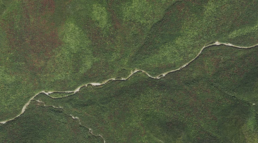
Black Brook — Streams 42.3 Miles WSW of Chapman Inn
Grafton County, New Hampshire · USGS Mount Osceola Quadrangle · GNIS 871518
42.3 miles west-southwest of Chapman Inn, on the USGS Mount Osceola topographic quadrangle, Black Brook is a stream recorded in Grafton County, New Hampshire by the federal Geographic Names Information System.
Landmark Profile
Classification & USGS reference
The USGS Mount Osceola 7.5-minute topographic quadrangle places Black Brook in Grafton County, New Hampshire (FIPS 33/009), classified as a stream in the federal GNIS (Feature ID 871518). Catalogued in GNIS since 08/27/1980.
Coordinates & physical setting
Black Brook sits at 44.11062° N, 71.53758° W (DMS 44°06′38″ N, 71°32′15″ W).
As a linear feature its source lies near 44.14701° N, 71.53369° W (DMS 44°08′49″ N, 71°32′01″ W) — useful for anglers and paddlers tracing the upstream end.
Other streams in Grafton County, New Hampshire
Grafton County, NH contains 89 streams catalogued in the USGS Geographic Names Information System, counting Black Brook itself. The ones closest to Black Brook:
| Feature | USGS Quadrangle | Distance |
|---|---|---|
| Cedar Brook | Mount Osceola | 1 mi |
| North Fork East Branch Pemigewasset River | Mount Osceola | 1.6 mi |
| Franconia Branch | Mount Osceola | 1.9 mi |
| Birch Island Brook | Mount Osceola | 2.1 mi |
| Lincoln Brook | Mount Osceola | 2.3 mi |
| Crystal Brook | Mount Carrigain | 2.3 mi |
| Hellgate Brook | South Twin Mountain | 2.8 mi |
| Jumping Brook | Crawford Notch | 3.3 mi |
| Redrock Brook | South Twin Mountain | 3.4 mi |
| Carrigain Branch | Mount Carrigain | 3.4 mi |
Features on the USGS Mount Osceola Quadrangle
The Mount Osceola 7.5-minute topographic quadrangle holds 30 catalogued natural features alongside Black Brook. A sampling nearest to this location:
| Feature | Type | County | Offset |
|---|---|---|---|
| Cedar Brook | Streams | Grafton County, NH | 1 mi |
| North Fork East Branch Pemigewasset River | Streams | Grafton County, NH | 1.6 mi |
| Franconia Branch | Streams | Grafton County, NH | 1.9 mi |
| Birch Island Brook | Streams | Grafton County, NH | 2.1 mi |
| Franconia Falls | Waterfalls | Grafton County, NH | 2.1 mi |
| Ice Pond | Lakes | Grafton County, NH | 2.1 mi |
| Black Pond | Lakes | Grafton County, NH | 2.2 mi |
| Lincoln Brook | Streams | Grafton County, NH | 2.3 mi |
| Mount Hitchcock | Summits | Grafton County, NH | 2.5 mi |
| Whaleback Mountain | Summits | Grafton County, NH | 4.4 mi |
Visiting from Chapman Inn
Distance, bearing & drive time
Chapman Inn sits 42.3 miles west-southwest (bearing WSW) of Black Brook. At moderate back-road speeds the drive runs about 72 minutes — comfortably inside a half-day outing window after breakfast.
Best time to visit
Best observed in late spring and early summer when flow is strong and banks are visible. At this latitude (44.111°), the shoulder seasons are workable — April and November can be comfortable on mild years. At 42.3 miles from the Inn, block the full day — sunrise start, late return, packed meals. Conditions at Black Brook track the nearby Cedar Brook stream (1.0 mi away) closely — if that is runnable, so is this.
Nearest features to Black Brook
| Feature | Type | County | Distance |
|---|---|---|---|
| Cedar Brook | Streams | Grafton County, NH | 1 mi |
| North Fork East Branch Pemigewasset River | Streams | Grafton County, NH | 1.6 mi |
| Franconia Branch | Streams | Grafton County, NH | 1.9 mi |
| Birch Island Brook | Streams | Grafton County, NH | 2.1 mi |
| Franconia Falls | Waterfalls | Grafton County, NH | 2.1 mi |
Frequently Asked Questions
Where is Black Brook located?
Black Brook is in Grafton County, New Hampshire, approximately 42.3 miles west-southwest of Chapman Inn in Bethel, Maine. It appears on the USGS Mount Osceola topographic quadrangle.
How far is Black Brook from Chapman Inn?
The drive runs about 72 minutes, 42.3 miles west-southwest (bearing WSW) of the Inn.
What type of natural feature is Black Brook?
The U.S. Geological Survey classifies Black Brook as a stream, catalogued under GNIS Feature ID 871518 on the Mount Osceola quadrangle.
When is the best time to visit Black Brook?
Best observed in late spring and early summer when flow is strong and banks are visible.
How many other streams are in Grafton County, New Hampshire?
GNIS lists 88 other streams in Grafton County, New Hampshire.