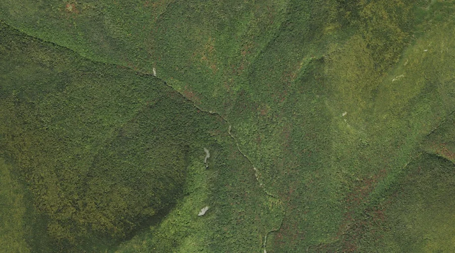
Cedar Brook is a stream in Grafton County, New Hampshire, located about 43.3 miles west-southwest of Chapman Inn in Bethel, Maine. It appears on the USGS Mount Osceola…
Mount Garfield is a summit in Grafton County, New Hampshire, located about 43.3 miles west-southwest of Chapman Inn in Bethel, Maine. It appears on the USGS South Twin…
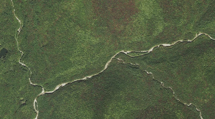
Twin Brook is a stream in Grafton County, New Hampshire, located about 43.0 miles west-southwest of Chapman Inn in Bethel, Maine. It appears on the USGS South Twin…
Black Brook is a stream in Grafton County, New Hampshire, located about 43.0 miles west of Chapman Inn in Bethel, Maine. It appears on the USGS Bethlehem topographic…
Russell Hill is a summit in Grafton County, New Hampshire, located about 42.7 miles west of Chapman Inn in Bethel, Maine. It appears on the USGS Bethlehem topographic…
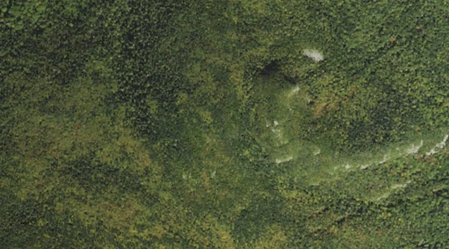
Mount Passaconaway is a summit in Grafton County, New Hampshire, located about 42.8 miles southwest of Chapman Inn in Bethel, Maine. It rises to 4,043 feet above sea…
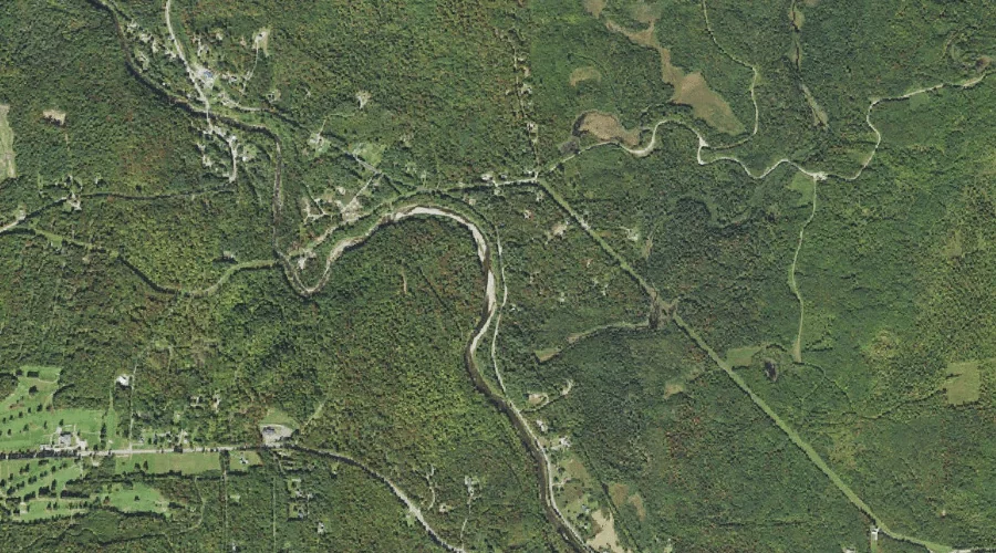
Littleton Reservoir is a reservoir in Grafton County, New Hampshire, located about 42.7 miles west-southwest of Chapman Inn in Bethel, Maine. It appears on the USGS South Twin…
Flat Top Mountain is a summit in Grafton County, New Hampshire, located about 42.7 miles west-southwest of Chapman Inn in Bethel, Maine. It appears on the USGS South…
Hawthorne Falls is a waterfall in Grafton County, New Hampshire, located about 42.7 miles west-southwest of Chapman Inn in Bethel, Maine. It appears on the USGS South Twin…
Mount Huntington is a summit in Grafton County, New Hampshire, located about 42.5 miles southwest of Chapman Inn in Bethel, Maine. It appears on the USGS Mount Carrigain…