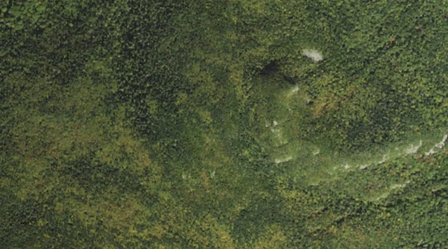
Mount Hancock is a summit in Grafton County, New Hampshire, located about 41.3 miles west-southwest of Chapman Inn in Bethel, Maine. It appears on the USGS Mount Carrigain…
Pine Knob is a summit in Grafton County, New Hampshire, located about 41.3 miles west of Chapman Inn in Bethel, Maine. It appears on the USGS Twin Mountain…
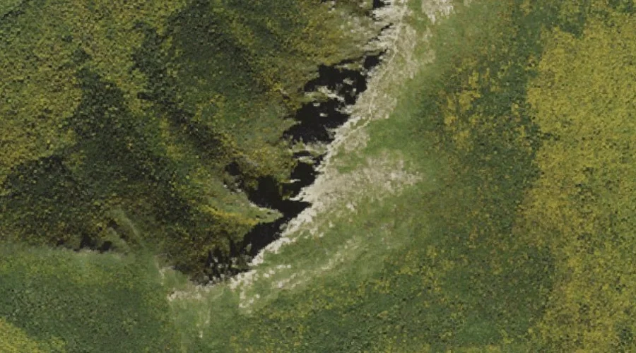
Sabbaday Falls is a waterfall in Grafton County, New Hampshire, located about 41.3 miles southwest of Chapman Inn in Bethel, Maine. It appears on the USGS Mount Tripyramid…
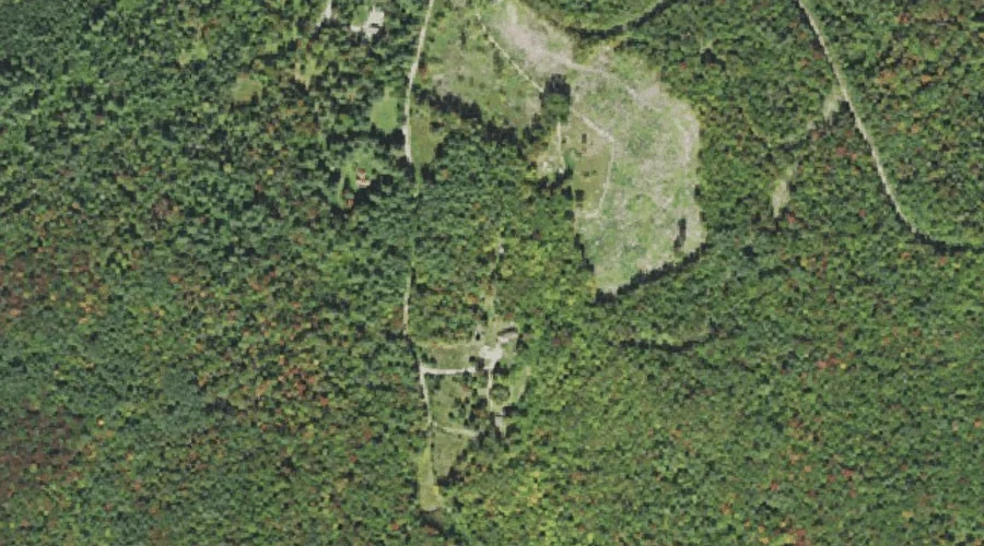
The Cliffs is a cliff face in Grafton County, New Hampshire, located about 41.4 miles west-southwest of Chapman Inn in Bethel, Maine. It appears on the USGS South…
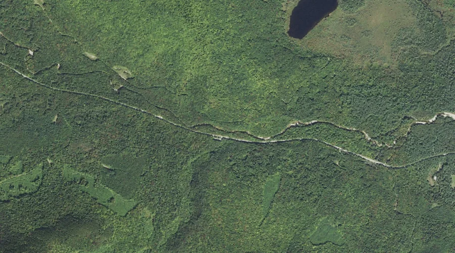
Sabbaday Brook is a stream in Grafton County, New Hampshire, located about 41.0 miles southwest of Chapman Inn in Bethel, Maine. It appears on the USGS Mount Tripyramid…
Sugar Hill is a summit in Grafton County, New Hampshire, located about 40.8 miles southwest of Chapman Inn in Bethel, Maine. It appears on the USGS Mount Carrigain…
North Fork East Branch Pemigewasset River is a stream in Grafton County, New Hampshire, located about 40.6 miles west-southwest of Chapman Inn in Bethel, Maine. It appears on…
Mount Bond is a summit in Grafton County, New Hampshire, located about 40.6 miles west-southwest of Chapman Inn in Bethel, Maine. It appears on the USGS South Twin…
South Twin Mountain is a summit in Grafton County, New Hampshire, located about 40.7 miles west-southwest of Chapman Inn in Bethel, Maine. It appears on the USGS South…
Haystack Mountain is a summit in Grafton County, New Hampshire, located about 40.6 miles west-southwest of Chapman Inn in Bethel, Maine. It appears on the USGS South Twin…