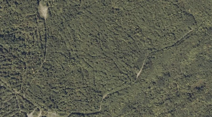
Spruce Mountain is a summit in Franklin County, Maine, located about 32.7 miles northeast of Chapman Inn in Bethel, Maine. It appears on the USGS Mount Blue topographic…
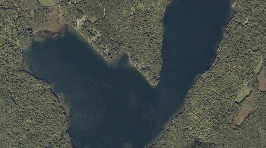
Little Swift River Pond is a lake in Franklin County, Maine, located about 32.3 miles north-northeast of Chapman Inn in Bethel, Maine. It appears on the USGS Jackson…
Witham Pond is a lake in Franklin County, Maine, located about 32.3 miles north-northeast of Chapman Inn in Bethel, Maine. It appears on the USGS Jackson Mountain topographic…
Toothaker Brook is a stream in Franklin County, Maine, located about 32.4 miles north of Chapman Inn in Bethel, Maine. It appears on the USGS Houghton topographic quadrangle.
Caldin Hill is a summit in Franklin County, Maine, located about 32.5 miles northeast of Chapman Inn in Bethel, Maine. It appears on the USGS Mount Blue topographic…
Phillips Mountain is a summit in Franklin County, Maine, located about 32.5 miles northeast of Chapman Inn in Bethel, Maine. It appears on the USGS Phillips topographic quadrangle.
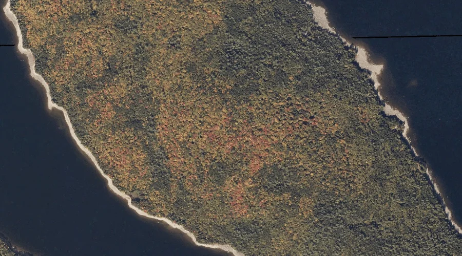
Toothaker Island is a island in Franklin County, Maine, located about 32.0 miles north of Chapman Inn in Bethel, Maine. It appears on the USGS Metallak Mountain topographic…
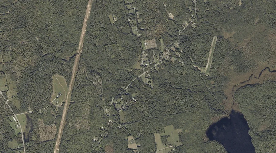
Varnum Pond is a lake in Franklin County, Maine, located about 31.9 miles east-northeast of Chapman Inn in Bethel, Maine. It appears on the USGS Farmington topographic quadrangle.
Fuller Brook is a stream in Franklin County, Maine, located about 32.0 miles east-northeast of Chapman Inn in Bethel, Maine. It appears on the USGS Wilton topographic quadrangle.
Pope Mountain is a summit in Franklin County, Maine, located about 31.7 miles northeast of Chapman Inn in Bethel, Maine. It appears on the USGS Madrid topographic quadrangle.