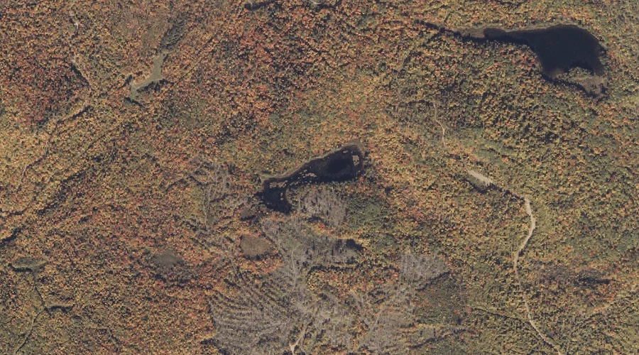
South Pond is a lake in Franklin County, Maine, located about 34.0 miles north-northeast of Chapman Inn in Bethel, Maine. It appears on the USGS Jackson Mountain topographic…
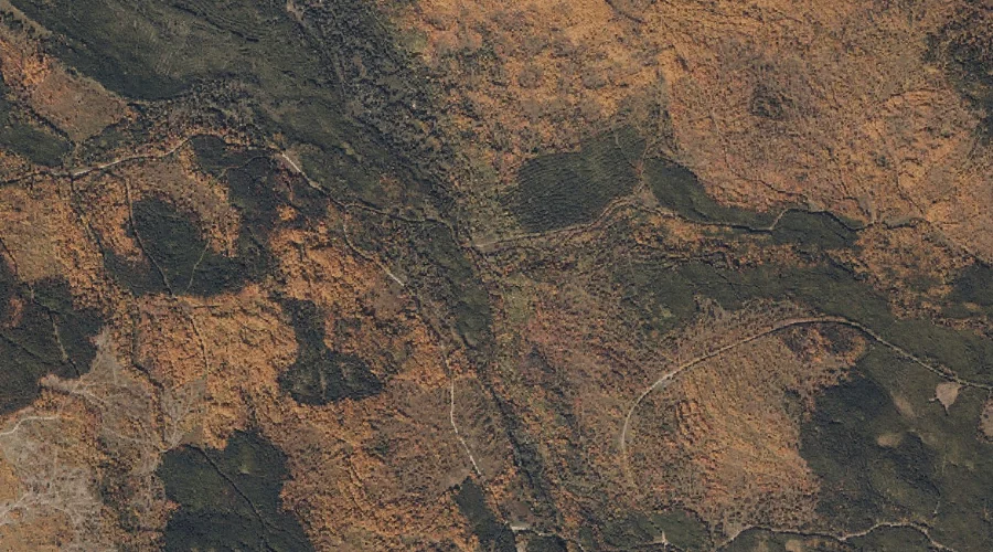
Gordon Hill is a summit in Franklin County, Maine, located about 34.0 miles east of Chapman Inn in Bethel, Maine. It appears on the USGS Fayette topographic quadrangle.
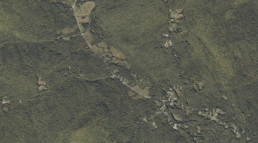
Henry Mitchell Brook is a stream in Franklin County, Maine, located about 33.7 miles northeast of Chapman Inn in Bethel, Maine. It appears on the USGS Farmington topographic…
Mountain Pond Stream is a stream in Franklin County, Maine, located about 33.7 miles north of Chapman Inn in Bethel, Maine. It appears on the USGS Rangeley topographic…
Beaver Mountain is a summit in Franklin County, Maine, located about 33.8 miles north-northeast of Chapman Inn in Bethel, Maine. It appears on the USGS Rangeley topographic quadrangle.
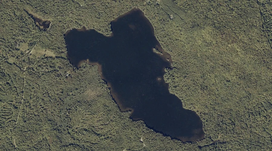
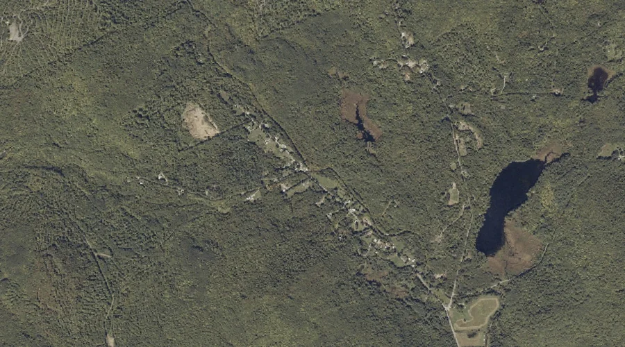
Mud Pond is a lake in Franklin County, Maine, located about 33.8 miles north-northeast of Chapman Inn in Bethel, Maine. It appears on the USGS Madrid topographic quadrangle.
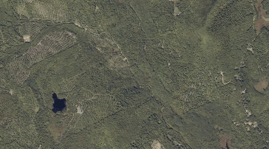
Mount Blue Pond is a lake in Franklin County, Maine, located about 33.4 miles northeast of Chapman Inn in Bethel, Maine. It appears on the USGS Phillips topographic…
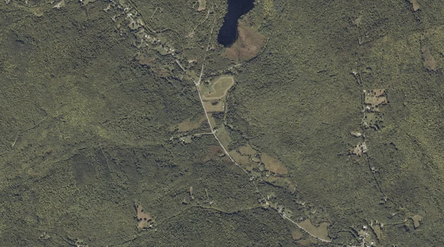
Edes Brook is a stream in Franklin County, Maine, located about 33.5 miles northeast of Chapman Inn in Bethel, Maine. It appears on the USGS Mount Blue topographic…
Conant Brook is a stream in Franklin County, Maine, located about 33.5 miles northeast of Chapman Inn in Bethel, Maine. It appears on the USGS Mount Blue topographic…
Gus Mitchell Brook is a stream in Franklin County, Maine, located about 33.6 miles northeast of Chapman Inn in Bethel, Maine. It appears on the USGS Farmington topographic…