 Aerial imagery: USGS National Map (public domain)
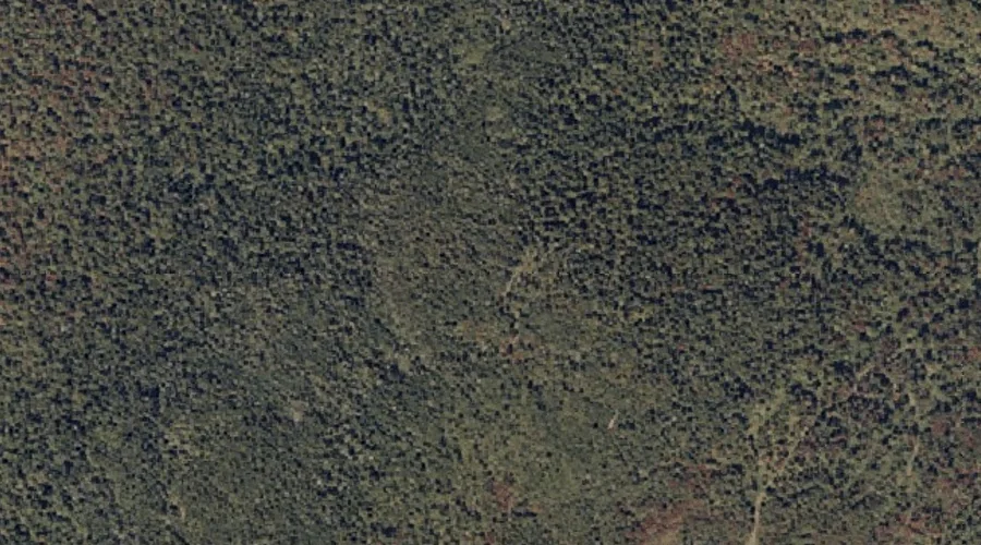
Spruce Mountain — Summits 32.7 Miles NE of Chapman Inn
Franklin County, Maine · USGS Mount Blue Quadrangle · GNIS 576147
32.7 miles northeast of Chapman Inn, on the USGS Mount Blue topographic quadrangle, Spruce Mountain is a summit recorded in Franklin County, Maine by the federal Geographic Names Information System.
Landmark Profile
Classification & USGS reference
The USGS Mount Blue 7.5-minute topographic quadrangle places Spruce Mountain in Franklin County, Maine (FIPS 23/007), classified as a summit in the federal GNIS (Feature ID 576147). Last revised by the Board on Geographic Names on 08/09/2022.
Coordinates & physical setting
Spruce Mountain sits at 44.73504° N, 70.31371° W (DMS 44°44′06″ N, 70°18′49″ W).
Other summits in Franklin County, Maine
Franklin County, ME contains 129 summits catalogued in the USGS Geographic Names Information System, counting Spruce Mountain itself. The ones closest to Spruce Mountain:
| Feature | USGS Quadrangle | Elevation | Distance |
|---|---|---|---|
| Mount Blue | Mount Blue | — | 1.5 mi |
| Wilder Hill | Mount Blue | — | 2.3 mi |
| Sylvester Hill | Phillips | — | 2.4 mi |
| Little Blue | Mount Blue | — | 2.5 mi |
| Sampson Hill | Phillips | — | 2.8 mi |
| Phillips Mountain | Phillips | — | 2.8 mi |
| Potato Hill | Mount Blue | — | 2.9 mi |
| Chandler Hill | Mount Blue | — | 3.3 mi |
| Tantrattle Mountain | Phillips | — | 3.4 mi |
| Day Mountain | Phillips | — | 3.5 mi |
Features on the USGS Mount Blue Quadrangle
The Mount Blue 7.5-minute topographic quadrangle holds 30 catalogued natural features alongside Spruce Mountain. A sampling nearest to this location:
| Feature | Type | County | Offset |
|---|---|---|---|
| Mount Blue | Summits | Franklin County, ME | 1.5 mi |
| Gammon Ridge | Ridges | Franklin County, ME | 2 mi |
| Holman Pond | Lakes | Franklin County, ME | 2 mi |
| Wilder Hill | Summits | Franklin County, ME | 2.3 mi |
| Conant Brook | Streams | Franklin County, ME | 2.4 mi |
| Little Blue | Summits | Franklin County, ME | 2.5 mi |
| Grants Pond | Lakes | Franklin County, ME | 2.8 mi |
| Potato Hill | Summits | Franklin County, ME | 2.9 mi |
| Jessie Pond | Lakes | Franklin County, ME | 3.2 mi |
| Chandler Hill | Summits | Franklin County, ME | 3.3 mi |
Visiting from Chapman Inn
Distance, bearing & drive time
Chapman Inn sits 32.7 miles northeast (bearing NE) of Spruce Mountain. At moderate back-road speeds the drive runs about 56 minutes — comfortably inside a half-day outing window after breakfast.
Best time to visit
Accessible May through November in most years. Being this far north (lat 44.735°), first snows typically arrive by mid-October and linger into early May — narrow the window accordingly. At 32.7 miles from the Inn, block the full day — sunrise start, late return, packed meals. Conditions at Spruce Mountain track the nearby Mount Blue summit (1.5 mi away) closely — if that is runnable, so is this.
Nearest features to Spruce Mountain
| Feature | Type | County | Distance |
|---|---|---|---|
| Mount Blue | Summits | Franklin County, ME | 1.5 mi |
| Gammon Ridge | Ridges | Franklin County, ME | 2 mi |
| Holman Pond | Lakes | Franklin County, ME | 2 mi |
| Wilder Hill | Summits | Franklin County, ME | 2.3 mi |
| Mount Blue Pond | Lakes | Franklin County, ME | 2.3 mi |
Frequently Asked Questions
Where is Spruce Mountain located?
Spruce Mountain is in Franklin County, Maine, approximately 32.7 miles northeast of Chapman Inn in Bethel, Maine. It appears on the USGS Mount Blue topographic quadrangle.
How far is Spruce Mountain from Chapman Inn?
The drive runs about 56 minutes, 32.7 miles northeast (bearing NE) of the Inn.
What type of natural feature is Spruce Mountain?
The U.S. Geological Survey classifies Spruce Mountain as a summit, catalogued under GNIS Feature ID 576147 on the Mount Blue quadrangle.
When is the best time to visit Spruce Mountain?
Accessible May through November in most years.
How many other summits are in Franklin County, Maine?
GNIS lists 128 other summits in Franklin County, Maine.