Warren Hill is a summit in Franklin County, Maine, located about 31.7 miles east-northeast of Chapman Inn in Bethel, Maine. It appears on the USGS Livermore Falls topographic…
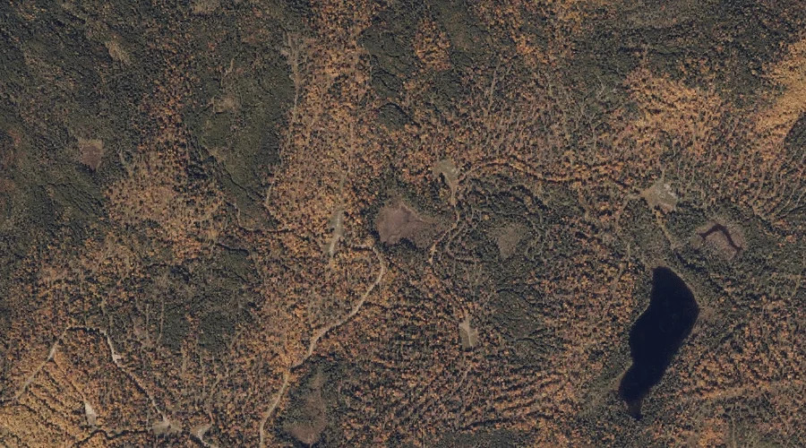
Swift River Pond is a lake in Franklin County, Maine, located about 31.7 miles north-northeast of Chapman Inn in Bethel, Maine. It appears on the USGS Jackson Mountain…
Varnum Stream is a stream in Franklin County, Maine, located about 31.7 miles east-northeast of Chapman Inn in Bethel, Maine. It appears on the USGS Wilton topographic quadrangle.
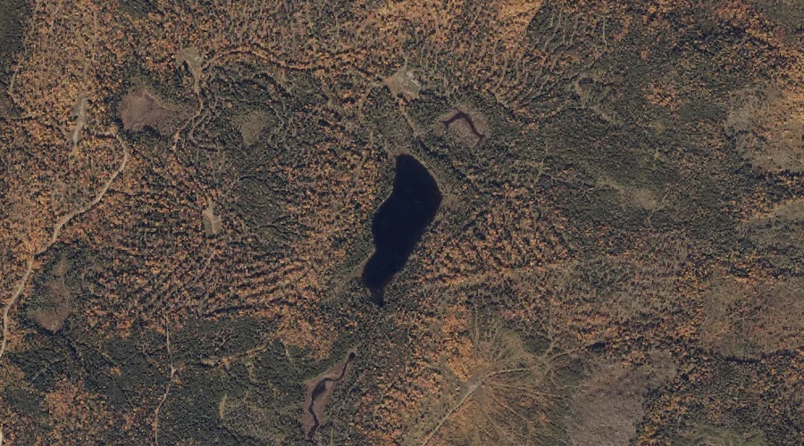
Witham Bog is a lake in Franklin County, Maine, located about 31.7 miles north-northeast of Chapman Inn in Bethel, Maine. It appears on the USGS Jackson Mountain topographic…
Derby Mountain is a summit in Franklin County, Maine, located about 31.5 miles northeast of Chapman Inn in Bethel, Maine. It appears on the USGS Mount Blue topographic…
Stony Brook is a stream in Franklin County, Maine, located about 31.6 miles east-northeast of Chapman Inn in Bethel, Maine. It appears on the USGS Wilton topographic quadrangle.
Four Ponds Mountain is a summit in Franklin County, Maine, located about 31.6 miles north of Chapman Inn in Bethel, Maine. It appears on the USGS Houghton topographic…
Mount Blue is a summit in Franklin County, Maine, located about 31.4 miles northeast of Chapman Inn in Bethel, Maine. It appears on the USGS Mount Blue topographic…
Meadow Brook is a stream in Franklin County, Maine, located about 31.5 miles east-northeast of Chapman Inn in Bethel, Maine. It appears on the USGS Wilton topographic quadrangle.
Coubers Brook is a stream in Franklin County, Maine, located about 31.2 miles east-northeast of Chapman Inn in Bethel, Maine. It appears on the USGS Wilton topographic quadrangle.