Wilder Hill is a summit in Franklin County, Maine, located about 31.2 miles northeast of Chapman Inn in Bethel, Maine. It appears on the USGS Mount Blue topographic…
Center Hill is a summit in Franklin County, Maine, located about 31.2 miles northeast of Chapman Inn in Bethel, Maine. It appears on the USGS Mount Blue topographic…
Blue Mountains is a mountain range in Franklin County, Maine, located about 31.3 miles north-northeast of Chapman Inn in Bethel, Maine. It appears on the USGS Jackson Mountain…
Dean Mountain is a summit in Franklin County, Maine, located about 30.9 miles northeast of Chapman Inn in Bethel, Maine. It appears on the USGS Mount Blue topographic…
Little Blue is a summit in Franklin County, Maine, located about 31.1 miles northeast of Chapman Inn in Bethel, Maine. It appears on the USGS Mount Blue topographic…
Spruce Mountain is a summit in Franklin County, Maine, located about 30.9 miles east-northeast of Chapman Inn in Bethel, Maine. It appears on the USGS Wilton topographic quadrangle.
Noon Mountain is a summit in Franklin County, Maine, located about 30.9 miles north-northeast of Chapman Inn in Bethel, Maine. It appears on the USGS Jackson Mountain topographic…
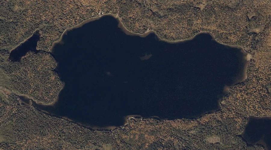
Long Pond is a lake in Franklin County, Maine, located about 30.8 miles north of Chapman Inn in Bethel, Maine. It appears on the USGS Houghton topographic quadrangle.
Bemis Stream is a stream in Franklin County, Maine, located about 30.8 miles north of Chapman Inn in Bethel, Maine. It appears on the USGS Houghton topographic quadrangle.
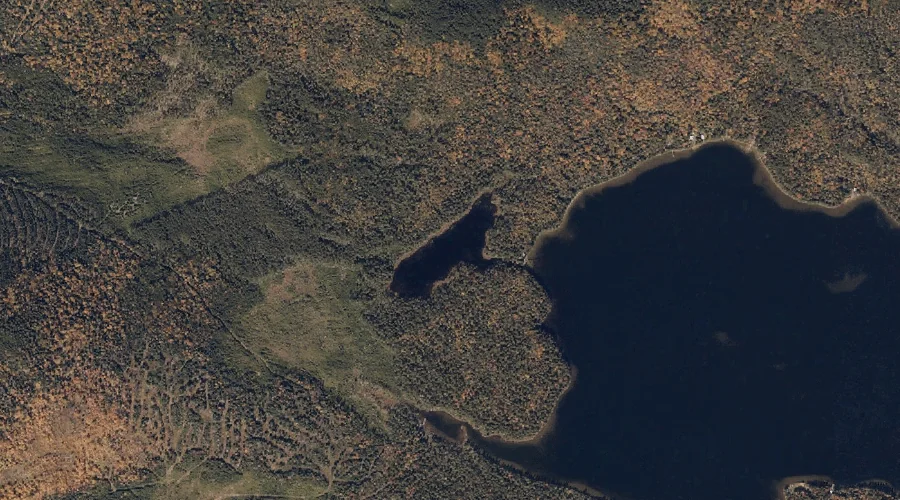
Maxie Pond is a lake in Franklin County, Maine, located about 30.9 miles north of Chapman Inn in Bethel, Maine. It appears on the USGS Houghton topographic quadrangle.