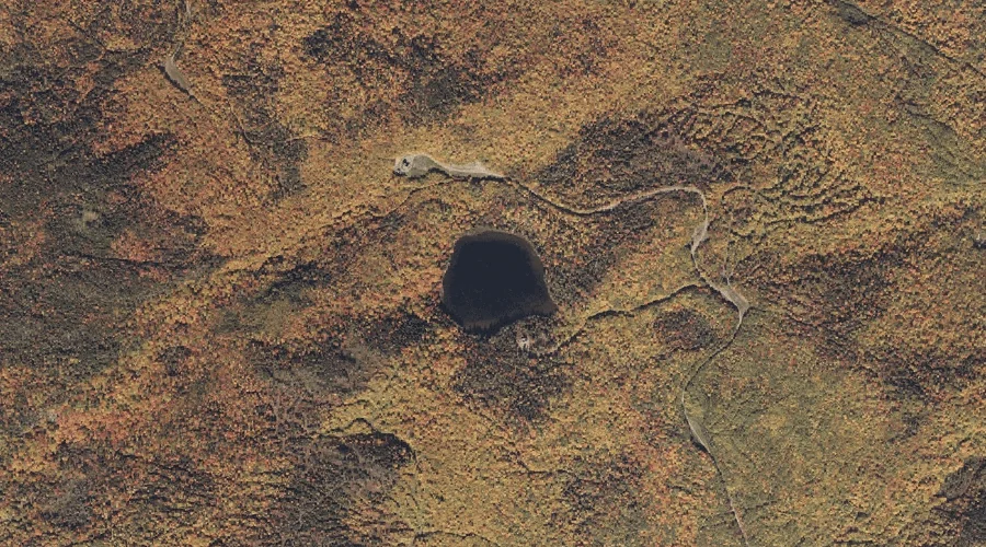
Sandy River Ponds is a lake in Franklin County, Maine, located about 35.8 miles north-northeast of Chapman Inn in Bethel, Maine. It appears on the USGS Saddleback Mountain…
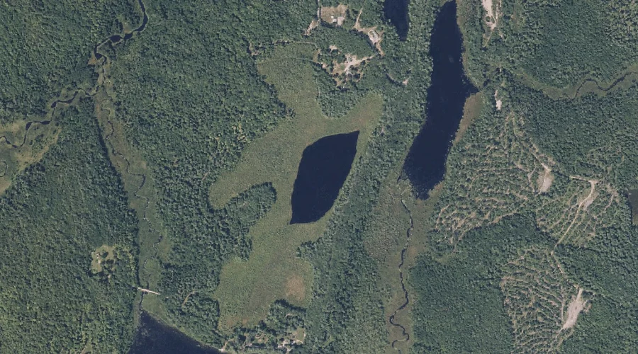
Adley Pond is a lake in Franklin County, Maine, located about 35.6 miles northeast of Chapman Inn in Bethel, Maine. It appears on the USGS Madrid topographic quadrangle.
Jessie Pond is a lake in Franklin County, Maine, located about 35.6 miles northeast of Chapman Inn in Bethel, Maine. It appears on the USGS Mount Blue topographic…
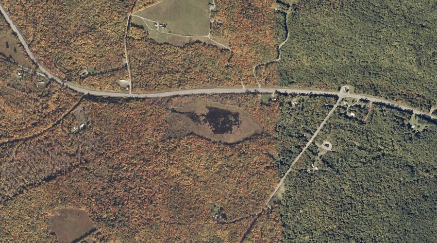
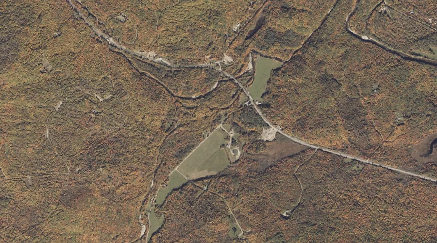
Saddleback Stream is a stream in Franklin County, Maine, located about 35.6 miles north-northeast of Chapman Inn in Bethel, Maine. It appears on the USGS Madrid topographic quadrangle.
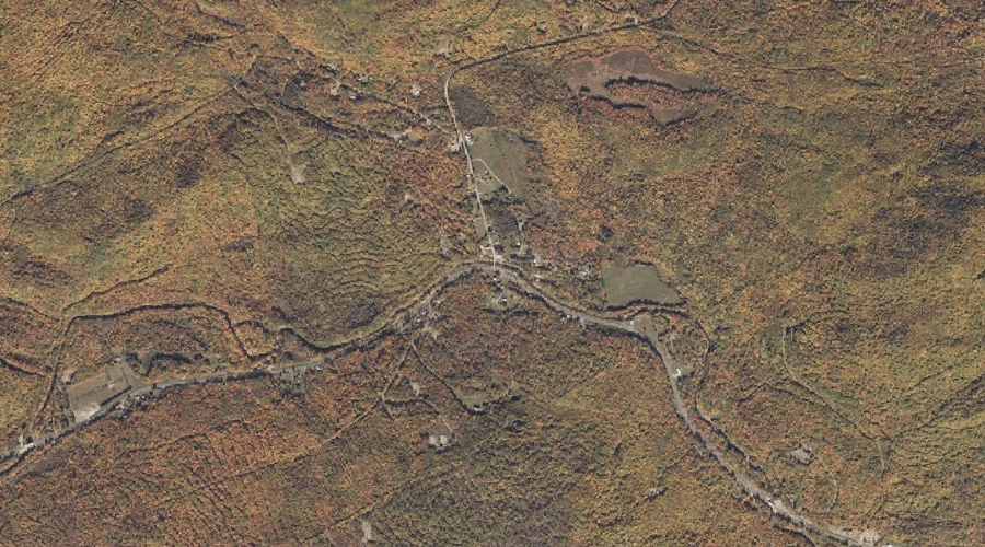
Patriots Peak is a summit in Franklin County, Maine, located about 35.4 miles northeast of Chapman Inn in Bethel, Maine. It appears on the USGS Farmington topographic quadrangle.
Beech Hill is a summit in Franklin County, Maine, located about 35.5 miles north-northeast of Chapman Inn in Bethel, Maine. It appears on the USGS Madrid topographic quadrangle.
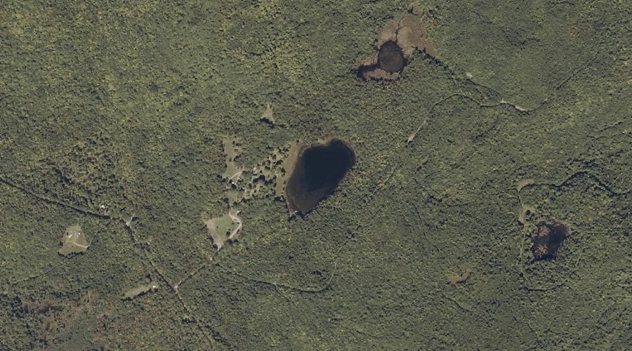
Perry Pond is a lake in Franklin County, Maine, located about 35.5 miles north-northeast of Chapman Inn in Bethel, Maine. It appears on the USGS Saddleback Mountain topographic…
Round Pond is a lake in Franklin County, Maine, located about 35.5 miles east-northeast of Chapman Inn in Bethel, Maine. It appears on the USGS Farmington Falls topographic…
South Branch Sandy River is a stream in Franklin County, Maine, located about 35.3 miles north-northeast of Chapman Inn in Bethel, Maine. It appears on the USGS Madrid…
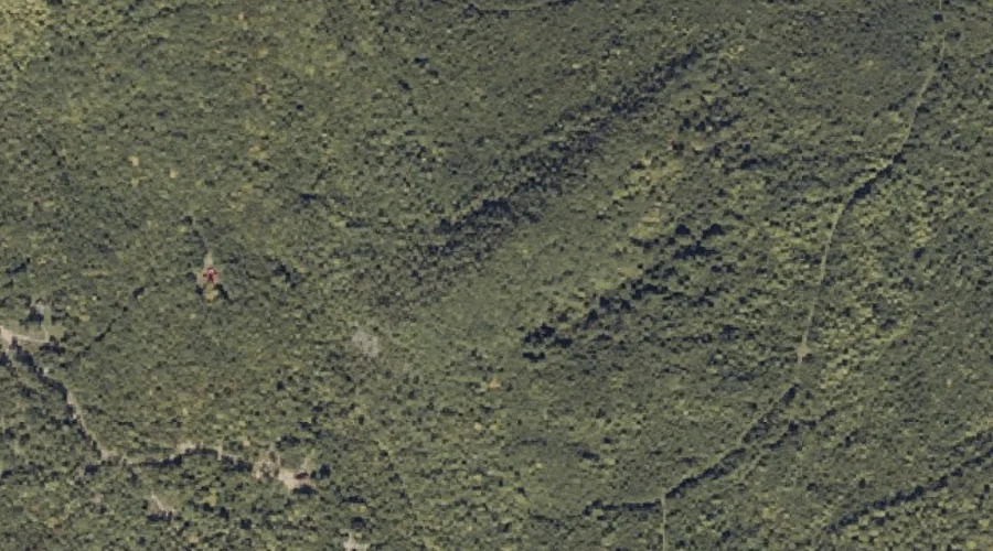
Perry Mountain is a summit in Franklin County, Maine, located about 35.4 miles north-northeast of Chapman Inn in Bethel, Maine. It appears on the USGS Saddleback Mountain topographic…