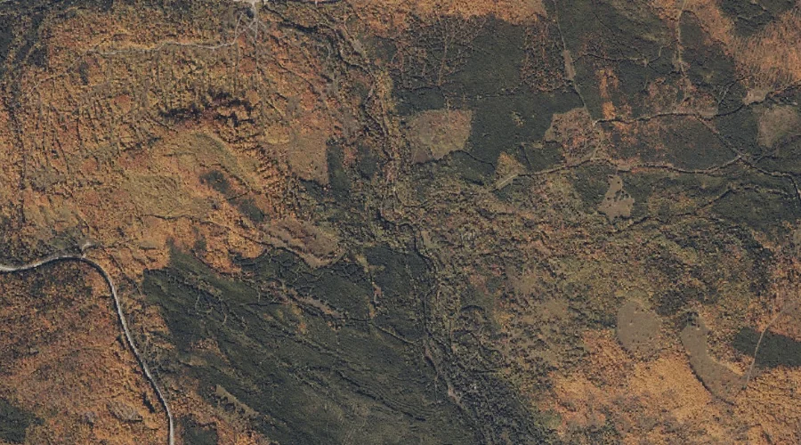
Martin Brook is a stream in Franklin County, Maine, located about 34.8 miles north of Chapman Inn in Bethel, Maine. It appears on the USGS Rangeley topographic quadrangle.
Long Pond is a lake in Franklin County, Maine, located about 34.6 miles north-northeast of Chapman Inn in Bethel, Maine. It appears on the USGS Saddleback Mountain topographic…
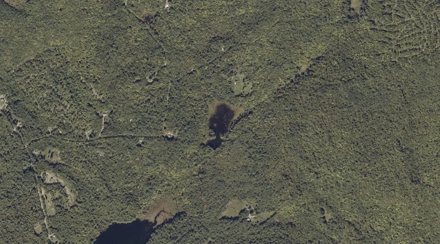
Mud Pond is a lake in Franklin County, Maine, located about 34.6 miles northeast of Chapman Inn in Bethel, Maine. It appears on the USGS Farmington topographic quadrangle.
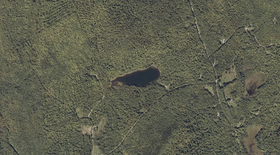
Grants Pond is a lake in Franklin County, Maine, located about 34.6 miles northeast of Chapman Inn in Bethel, Maine. It appears on the USGS Mount Blue topographic…
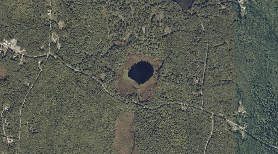
Mountain Pond is a lake in Franklin County, Maine, located about 34.6 miles north-northeast of Chapman Inn in Bethel, Maine. It appears on the USGS Rangeley topographic quadrangle.
Robinson Pond is a lake in Franklin County, Maine, located about 34.5 miles east-northeast of Chapman Inn in Bethel, Maine. It appears on the USGS Farmington Falls topographic…
Potato Hill is a summit in Franklin County, Maine, located about 34.3 miles northeast of Chapman Inn in Bethel, Maine. It appears on the USGS Mount Blue topographic…
Sampson Hill is a summit in Franklin County, Maine, located about 34.4 miles northeast of Chapman Inn in Bethel, Maine. It appears on the USGS Phillips topographic quadrangle.
Crossman Stream is a stream in Franklin County, Maine, located about 34.2 miles north-northeast of Chapman Inn in Bethel, Maine. It appears on the USGS Madrid topographic quadrangle.
Harvey Pond is a lake in Franklin County, Maine, located about 34.2 miles north-northeast of Chapman Inn in Bethel, Maine. It appears on the USGS Jackson Mountain topographic…