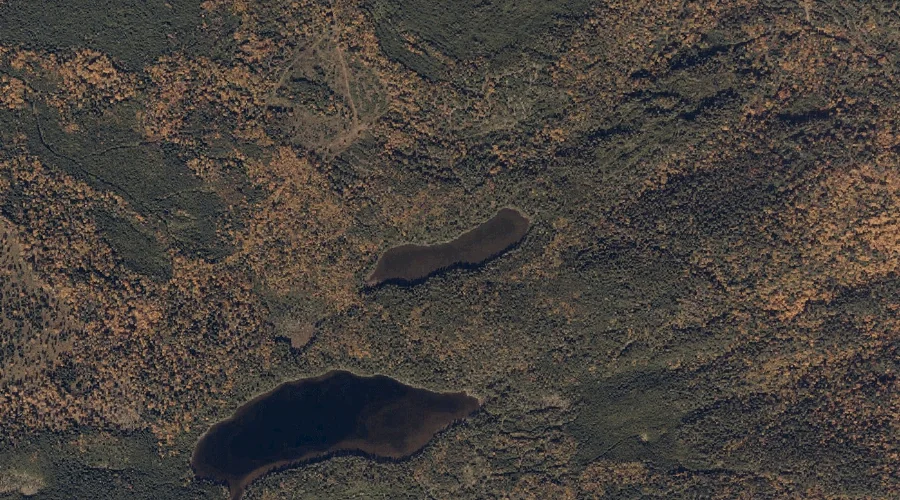
Temple Stream Reservoir is a reservoir in Franklin County, Maine, located about 35.4 miles east-northeast of Chapman Inn in Bethel, Maine. It appears on the USGS Farmington topographic…
Porter Hill is a summit in Franklin County, Maine, located about 35.2 miles northeast of Chapman Inn in Bethel, Maine. It appears on the USGS Farmington topographic quadrangle.
Rowe Hill is a summit in Franklin County, Maine, located about 35.2 miles north-northeast of Chapman Inn in Bethel, Maine. It appears on the USGS Madrid topographic quadrangle.
Trask Brook is a stream in Franklin County, Maine, located about 35.0 miles northeast of Chapman Inn in Bethel, Maine. It appears on the USGS Phillips topographic quadrangle.
Haley Brook is a stream in Franklin County, Maine, located about 35.1 miles north-northeast of Chapman Inn in Bethel, Maine. It appears on the USGS Saddleback Mountain topographic…
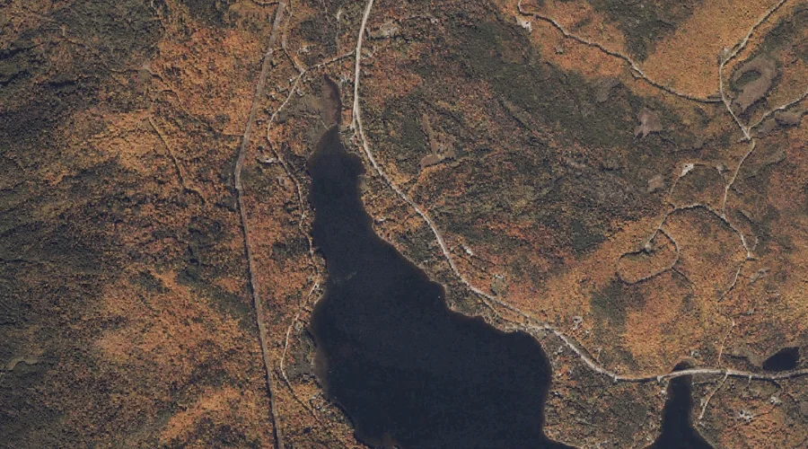
Ballard Pond is a lake in Franklin County, Maine, located about 35.2 miles northeast of Chapman Inn in Bethel, Maine. It appears on the USGS Farmington topographic quadrangle.
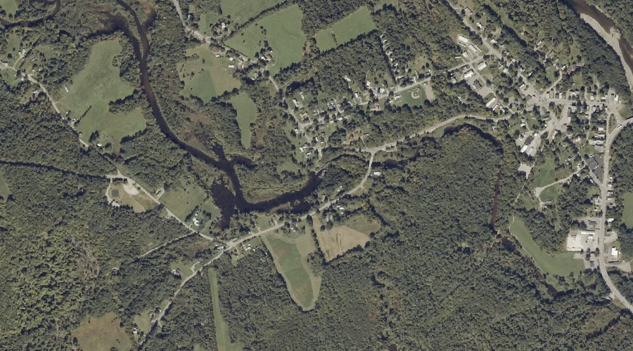
Locke Pond is a lake in Franklin County, Maine, located about 35.2 miles east-northeast of Chapman Inn in Bethel, Maine. It appears on the USGS Farmington Falls topographic…
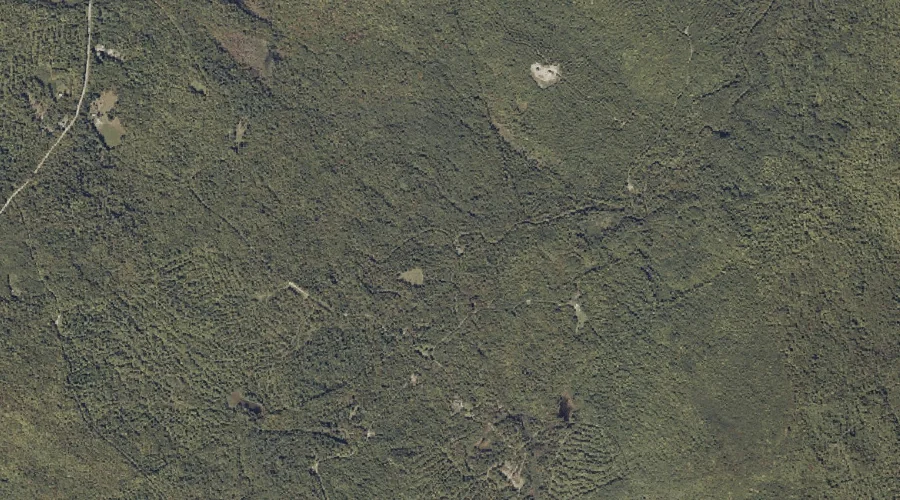
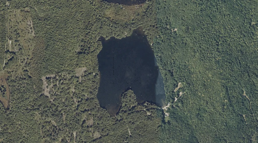
Mud Pond is a lake in Franklin County, Maine, located about 34.9 miles north-northeast of Chapman Inn in Bethel, Maine. It appears on the USGS Rangeley topographic quadrangle.
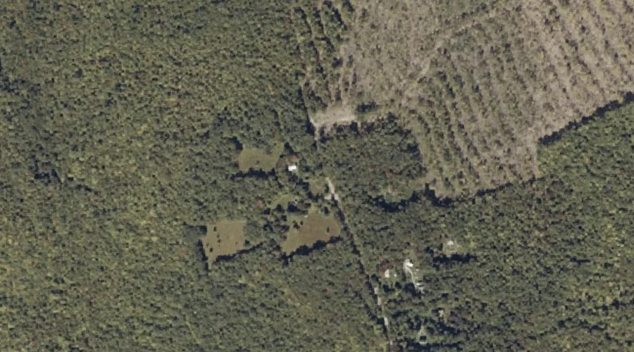
Staples Pond is a reservoir in Franklin County, Maine, located about 34.9 miles northeast of Chapman Inn in Bethel, Maine. It appears on the USGS Farmington topographic quadrangle.
Sand Pond is a lake in Franklin County, Maine, located about 34.9 miles east-northeast of Chapman Inn in Bethel, Maine. It appears on the USGS Farmington Falls topographic…