 Aerial imagery: USGS National Map (public domain)
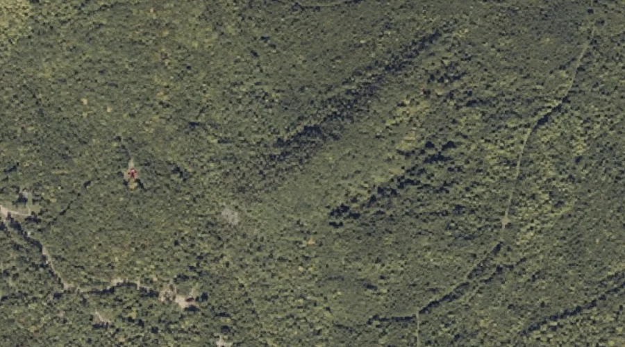
Patriots Peak — Summits 35.4 Miles NE of Chapman Inn
Franklin County, Maine · USGS Farmington Quadrangle · GNIS 2747977
Catalogued on the USGS Farmington quadrangle in Franklin County, Maine, Patriots Peak — a summit — lies 35.4 miles northeast of Chapman Inn.
Wikidata short description: “mountain in United States of America”
Landmark Profile
Classification & USGS reference
Catalogued under GNIS Feature ID 2747977, Patriots Peak is recorded as a summit on the USGS Farmington quadrangle in Franklin County, Maine (FIPS 23/007). Last revised by the Board on Geographic Names on 06/18/2022.
Coordinates & physical setting
Patriots Peak sits at 44.73650° N, 70.23988° W (DMS 44°44′11″ N, 70°14′24″ W).
Other summits in Franklin County, Maine
Franklin County, ME contains 129 summits catalogued in the USGS Geographic Names Information System, counting Patriots Peak itself. The ones closest to Patriots Peak:
| Feature | USGS Quadrangle | Elevation | Distance |
|---|---|---|---|
| Potato Hill | Mount Blue | — | 1.1 mi |
| Day Mountain | Phillips | — | 1.8 mi |
| Porter Hill | Farmington | — | 2.3 mi |
| Stubbs Mountain | Strong | — | 3 mi |
| Caldin Hill | Mount Blue | — | 3.2 mi |
| Hunter Mountain | Strong | — | 3.3 mi |
| Spruce Mountain | Mount Blue | — | 3.6 mi |
| Cowen Hill | Farmington | — | 3.8 mi |
| Hartwell Mountain | Strong | — | 4.3 mi |
| Wilder Hill | Mount Blue | — | 4.3 mi |
Features on the USGS Farmington Quadrangle
The Farmington 7.5-minute topographic quadrangle holds 20 catalogued natural features alongside Patriots Peak. A sampling nearest to this location:
| Feature | Type | County | Offset |
|---|---|---|---|
| Staples Pond | Reservoirs | Franklin County, ME | 1.1 mi |
| Ballard Pond | Lakes | Franklin County, ME | 1.4 mi |
| Mud Pond | Lakes | Franklin County, ME | 1.8 mi |
| Drury Pond | Lakes | Franklin County, ME | 2.2 mi |
| Porter Hill | Summits | Franklin County, ME | 2.3 mi |
| Winter Brook | Streams | Franklin County, ME | 2.4 mi |
| Gus Mitchell Brook | Streams | Franklin County, ME | 2.9 mi |
| Henry Mitchell Brook | Streams | Franklin County, ME | 3.3 mi |
| Cowen Hill | Summits | Franklin County, ME | 3.8 mi |
| Barker Stream | Streams | Franklin County, ME | 4.6 mi |
Historical record
The U.S. Board on Geographic Names recorded a Official (Board Decision) on June 13, 2013 for this name.
Visiting from Chapman Inn
Distance, bearing & drive time
A 61-minute drive along back roads separates the front door of Chapman Inn from Patriots Peak — 35.4 miles northeast as the crow flies, on compass bearing NE.
Best time to visit
Accessible May through November in most years. Being this far north (lat 44.736°), first snows typically arrive by mid-October and linger into early May — narrow the window accordingly. At 35.4 miles from the Inn, block the full day — sunrise start, late return, packed meals. Conditions at Patriots Peak track the nearby Grants Pond lake (0.9 mi away) closely — if that is runnable, so is this.
Nearest features to Patriots Peak
| Feature | Type | County | Distance |
|---|---|---|---|
| Grants Pond | Lakes | Franklin County, ME | 0.9 mi |
| Jessie Pond | Lakes | Franklin County, ME | 1 mi |
| Potato Hill | Summits | Franklin County, ME | 1.1 mi |
| Staples Pond | Reservoirs | Franklin County, ME | 1.1 mi |
| Ballard Pond | Lakes | Franklin County, ME | 1.4 mi |
Frequently Asked Questions
Where is Patriots Peak located?
Patriots Peak is in Franklin County, Maine, approximately 35.4 miles northeast of Chapman Inn in Bethel, Maine. It appears on the USGS Farmington topographic quadrangle.
How far is Patriots Peak from Chapman Inn?
The drive runs about 61 minutes, 35.4 miles northeast (bearing NE) of the Inn.
What type of natural feature is Patriots Peak?
The U.S. Geological Survey classifies Patriots Peak as a summit, catalogued under GNIS Feature ID 2747977 on the Farmington quadrangle.
When is the best time to visit Patriots Peak?
Accessible May through November in most years.
How many other summits are in Franklin County, Maine?
GNIS lists 128 other summits in Franklin County, Maine.
Wikidata: Q33142807.