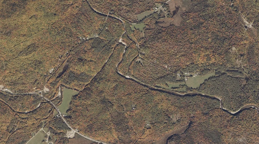
Orbeton Stream is a stream in Franklin County, Maine, located about 36.2 miles north-northeast of Chapman Inn in Bethel, Maine. It appears on the USGS Madrid topographic quadrangle.
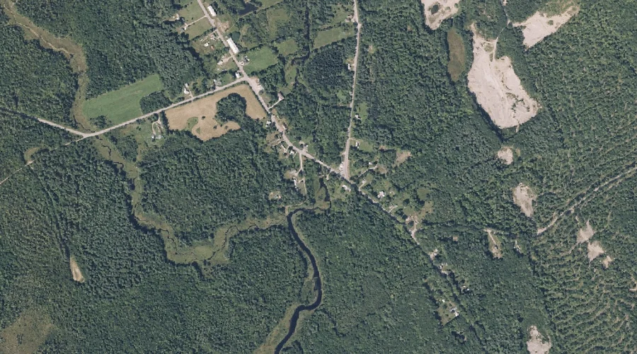
Temple Stream is a stream in Franklin County, Maine, located about 36.1 miles east-northeast of Chapman Inn in Bethel, Maine. It appears on the USGS Farmington topographic quadrangle.
Bear Hill is a summit in Franklin County, Maine, located about 36.1 miles north-northeast of Chapman Inn in Bethel, Maine. It appears on the USGS Madrid topographic quadrangle.
Beaver Brook is a stream in Franklin County, Maine, located about 36.1 miles east-northeast of Chapman Inn in Bethel, Maine. It appears on the USGS Farmington topographic quadrangle.
Zion Hill is a summit in Franklin County, Maine, located about 35.9 miles east-northeast of Chapman Inn in Bethel, Maine. It appears on the USGS Farmington Falls topographic…
Little Norridgewock Stream Reservoir is a reservoir in Franklin County, Maine, located about 36.1 miles east-northeast of Chapman Inn in Bethel, Maine. It appears on the USGS Farmington…
Day Mountain is a summit in Franklin County, Maine, located about 36.1 miles northeast of Chapman Inn in Bethel, Maine. It appears on the USGS Phillips topographic quadrangle.
Fellows Pond is a lake in Franklin County, Maine, located about 35.8 miles east-northeast of Chapman Inn in Bethel, Maine. It appears on the USGS Farmington Falls topographic…
Sandy River Ponds is a lake in Franklin County, Maine, located about 35.8 miles north-northeast of Chapman Inn in Bethel, Maine. It appears on the USGS Saddleback Mountain…
Horseshoe Pond is a lake in Franklin County, Maine, located about 35.8 miles east-northeast of Chapman Inn in Bethel, Maine. It appears on the USGS Farmington Falls topographic…