 Aerial imagery: USGS National Map (public domain)
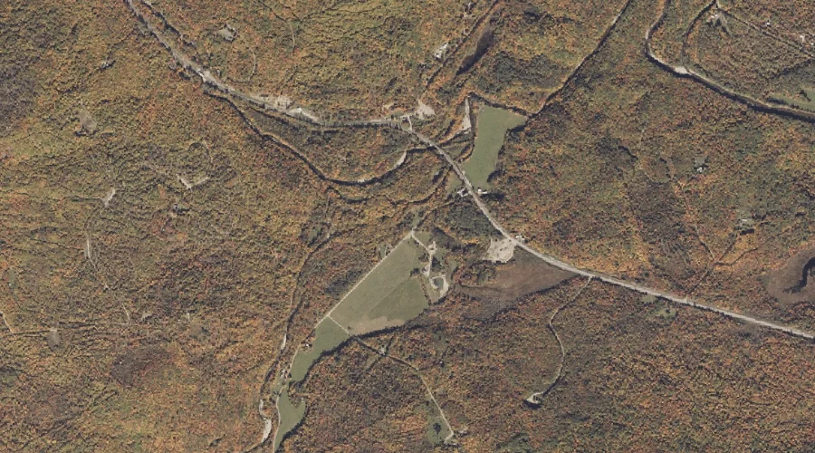
South Branch Sandy River — Streams 35.3 Miles NNE of Chapman Inn
Franklin County, Maine · USGS Madrid Quadrangle · GNIS 575798
Within Franklin County, Maine, on the USGS Madrid quadrangle, the stream known as South Branch Sandy River sits 35.3 miles north-northeast of Chapman Inn.
Wikidata short description: “river in the United States of America”
Landmark Profile
Classification & USGS reference
Within Franklin County, Maine, the U.S. Geological Survey lists South Branch Sandy River as a stream on the Madrid topographic quadrangle (FIPS 23/007), under Feature ID 575798. Catalogued in GNIS since 09/30/1980.
Coordinates & physical setting
South Branch Sandy River sits at 44.84895° N, 70.43479° W (DMS 44°50′56″ N, 70°26′05″ W).
As a linear feature its source lies near 44.77444° N, 70.48028° W (DMS 44°46′28″ N, 70°28′49″ W) — useful for anglers and paddlers tracing the upstream end.
Other streams in Franklin County, Maine
Franklin County, ME contains 134 streams catalogued in the USGS Geographic Names Information System, counting South Branch Sandy River itself. The ones closest to South Branch Sandy River:
| Feature | USGS Quadrangle | Distance |
|---|---|---|
| Orbeton Stream | Madrid | 1 mi |
| Saddleback Stream | Madrid | 1.7 mi |
| Conant Stream | Redington | 1.9 mi |
| Cottle Brook | Madrid | 2.3 mi |
| Jont Stream | Madrid | 2.5 mi |
| Crossman Stream | Madrid | 2.9 mi |
| Chandler Mill Stream | Jackson Mountain | 4 mi |
| Perham Stream | Redington | 4.3 mi |
| Winship Stream | Redington | 4.5 mi |
| Hardy Stream | Redington | 5.3 mi |
Features on the USGS Madrid Quadrangle
The Madrid 7.5-minute topographic quadrangle holds 18 catalogued natural features alongside South Branch Sandy River. A sampling nearest to this location:
| Feature | Type | County | Offset |
|---|---|---|---|
| Orbeton Stream | Streams | Franklin County, ME | 1 mi |
| Bear Hill | Summits | Franklin County, ME | 1.1 mi |
| Bog Pond | Lakes | Franklin County, ME | 1.2 mi |
| Lufkin Pond | Lakes | Franklin County, ME | 1.5 mi |
| Saddleback Stream | Streams | Franklin County, ME | 1.7 mi |
| Stetson Pond | Lakes | Franklin County, ME | 2.1 mi |
| Cottle Brook | Streams | Franklin County, ME | 2.3 mi |
| Toothaker Pond | Lakes | Franklin County, ME | 2.3 mi |
| Jont Stream | Streams | Franklin County, ME | 2.5 mi |
| Rowe Hill | Summits | Franklin County, ME | 2.5 mi |
Historical record
The South Branch Sandy River is a short tributary of the Sandy River in Franklin County, Maine. From its source on Blueberry Mountain in Berlin, the river runs 7.4 miles (11.9 km) northeast to its confluence with the Sandy River in Phillips. Extended history on Wikipedia →
Visiting from Chapman Inn
Distance, bearing & drive time
Follow the compass bearing NNE out of Bethel for 35.3 miles (north-northeast) and you reach South Branch Sandy River; at typical rural speeds the trip runs roughly 60 minutes.
Best time to visit
Best observed in late spring and early summer when flow is strong and banks are visible. Being this far north (lat 44.849°), first snows typically arrive by mid-October and linger into early May — narrow the window accordingly. At 35.3 miles from the Inn, block the full day — sunrise start, late return, packed meals. Conditions at South Branch Sandy River track the nearby Orbeton Stream (1.0 mi away) closely — if that is runnable, so is this.
Nearest features to South Branch Sandy River
| Feature | Type | County | Distance |
|---|---|---|---|
| Orbeton Stream | Streams | Franklin County, ME | 1 mi |
| Bear Hill | Summits | Franklin County, ME | 1.1 mi |
| Bog Pond | Lakes | Franklin County, ME | 1.2 mi |
| Lufkin Pond | Lakes | Franklin County, ME | 1.5 mi |
| Saddleback Stream | Streams | Franklin County, ME | 1.7 mi |
Frequently Asked Questions
Where is South Branch Sandy River located?
South Branch Sandy River is in Franklin County, Maine, approximately 35.3 miles north-northeast of Chapman Inn in Bethel, Maine. It appears on the USGS Madrid topographic quadrangle.
How far is South Branch Sandy River from Chapman Inn?
The drive runs about 60 minutes, 35.3 miles north-northeast (bearing NNE) of the Inn.
What type of natural feature is South Branch Sandy River?
The U.S. Geological Survey classifies South Branch Sandy River as a stream, catalogued under GNIS Feature ID 575798 on the Madrid quadrangle.
When is the best time to visit South Branch Sandy River?
Best observed in late spring and early summer when flow is strong and banks are visible.
How many other streams are in Franklin County, Maine?
GNIS lists 133 other streams in Franklin County, Maine.
Wikidata: Q7566389.