Dickey Brook is a stream in Franklin County, Maine, located about 37.9 miles northeast of Chapman Inn in Bethel, Maine. It appears on the USGS Strong topographic quadrangle.
Nile Brook is a stream in Franklin County, Maine, located about 37.9 miles north-northeast of Chapman Inn in Bethel, Maine. It appears on the USGS Rangeley topographic quadrangle.
Saddleback Pond is a lake in Franklin County, Maine, located about 37.9 miles north-northeast of Chapman Inn in Bethel, Maine. It appears on the USGS Redington topographic quadrangle.
Titcomb Hill is a summit in Franklin County, Maine, located about 37.9 miles east-northeast of Chapman Inn in Bethel, Maine. It appears on the USGS Farmington topographic quadrangle.
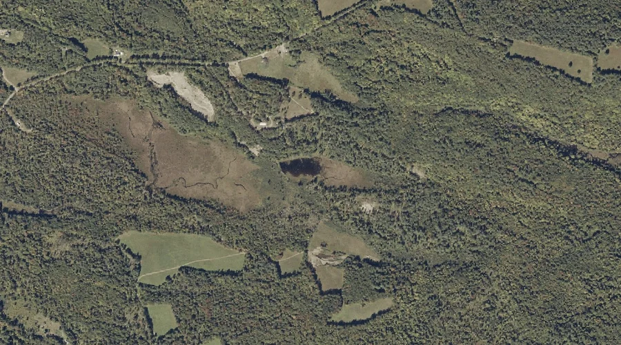
Beaver Pond is a lake in Franklin County, Maine, located about 37.9 miles northeast of Chapman Inn in Bethel, Maine. It appears on the USGS Phillips topographic quadrangle.
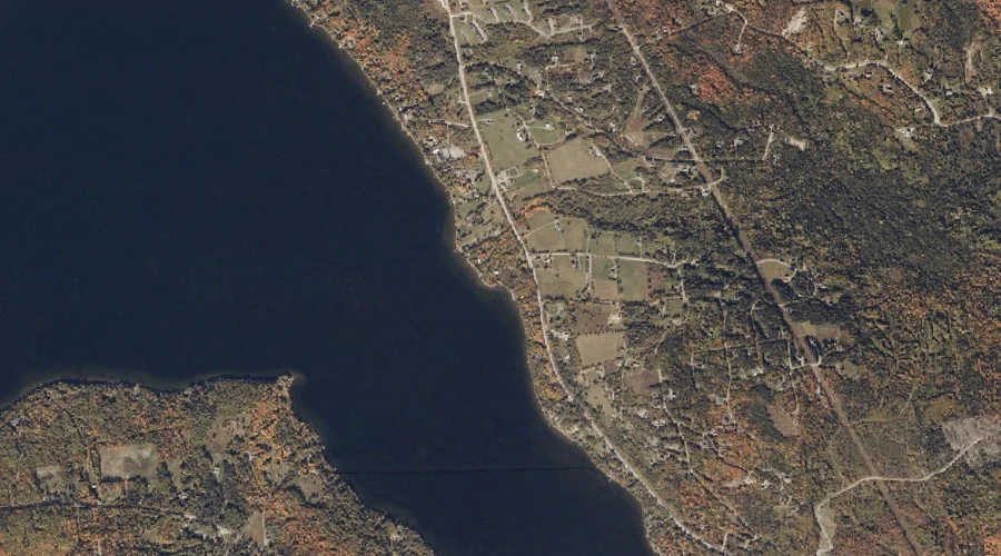
Rangeley Lake is a reservoir in Franklin County, Maine, located about 37.6 miles north of Chapman Inn in Bethel, Maine. It appears on the USGS Rangeley topographic quadrangle.
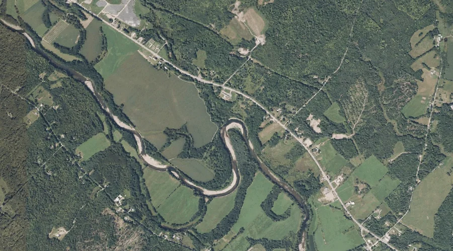
Beales Brook is a stream in Franklin County, Maine, located about 37.7 miles east-northeast of Chapman Inn in Bethel, Maine. It appears on the USGS New Sharon topographic…
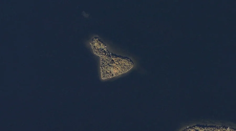
Maneskootuk Island is a island in Franklin County, Maine, located about 37.7 miles north of Chapman Inn in Bethel, Maine. It appears on the USGS Rangeley topographic quadrangle.
Old Bluff Hill is a summit in Franklin County, Maine, located about 37.7 miles east-northeast of Chapman Inn in Bethel, Maine. It appears on the USGS Farmington Falls…
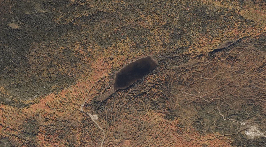
Eddy Pond is a lake in Franklin County, Maine, located about 37.8 miles north-northeast of Chapman Inn in Bethel, Maine. It appears on the USGS Saddleback Mountain topographic…