McGurdy Stream is a stream in Franklin County, Maine, located about 39.1 miles east-northeast of Chapman Inn in Bethel, Maine. It appears on the USGS Farmington Falls topographic…
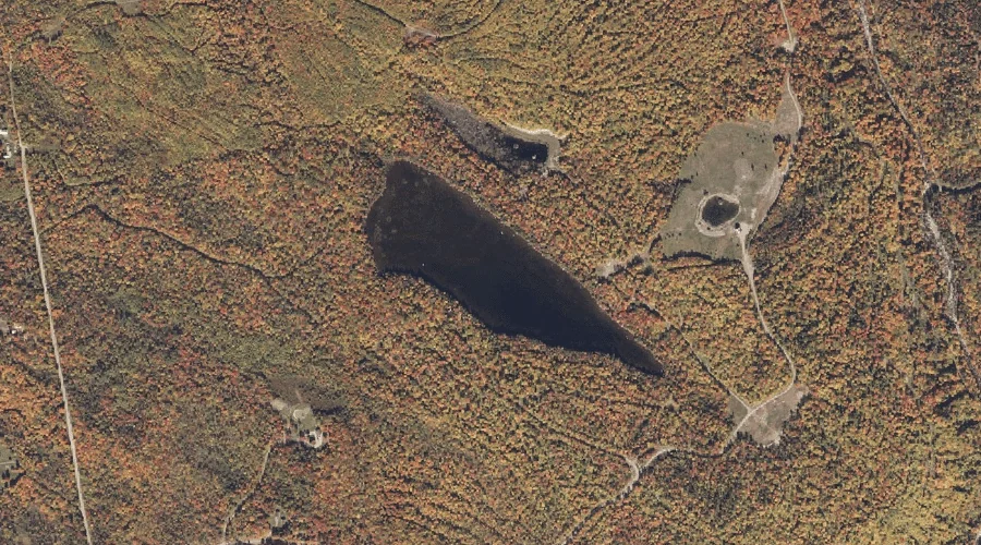
Beal Pond is a lake in Franklin County, Maine, located about 39.2 miles north-northeast of Chapman Inn in Bethel, Maine. It appears on the USGS Redington topographic quadrangle.
Whittier Brook is a stream in Franklin County, Maine, located about 39.2 miles east-northeast of Chapman Inn in Bethel, Maine. It appears on the USGS Farmington Falls topographic…
Echo Cove is a bay in Franklin County, Maine, located about 39.0 miles north of Chapman Inn in Bethel, Maine. It appears on the USGS Oquossoc topographic quadrangle.
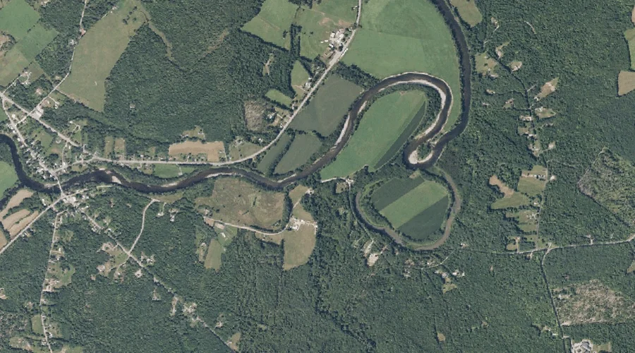
Hartwell Intervale is a basin in Franklin County, Maine, located about 39.0 miles northeast of Chapman Inn in Bethel, Maine. It appears on the USGS Strong topographic quadrangle.
Winship Stream is a stream in Franklin County, Maine, located about 38.7 miles north-northeast of Chapman Inn in Bethel, Maine. It appears on the USGS Redington topographic quadrangle.
Hunter Mountain is a summit in Franklin County, Maine, located about 38.8 miles northeast of Chapman Inn in Bethel, Maine. It appears on the USGS Strong topographic quadrangle.
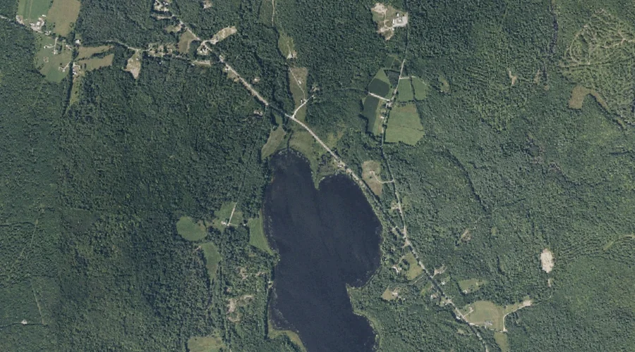
Hunter Cove is a bay in Franklin County, Maine, located about 38.7 miles north of Chapman Inn in Bethel, Maine. It appears on the USGS Rangeley topographic quadrangle.
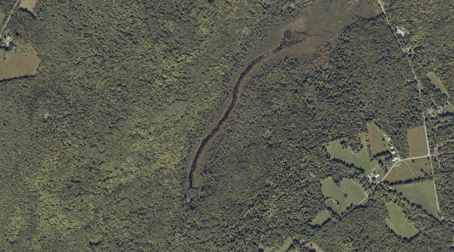
Adams Brook is a stream in Franklin County, Maine, located about 38.7 miles northeast of Chapman Inn in Bethel, Maine. It appears on the USGS Farmington topographic quadrangle.
Rangeley River is a stream in Franklin County, Maine, located about 38.7 miles north of Chapman Inn in Bethel, Maine. It appears on the USGS Oquossoc topographic quadrangle.