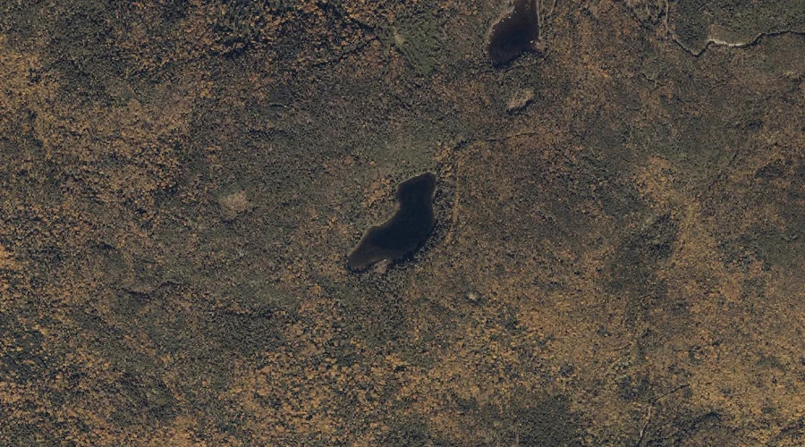
Nash Pond is a lake in Franklin County, Maine, located about 38.6 miles northeast of Chapman Inn in Bethel, Maine. It appears on the USGS Strong topographic quadrangle.
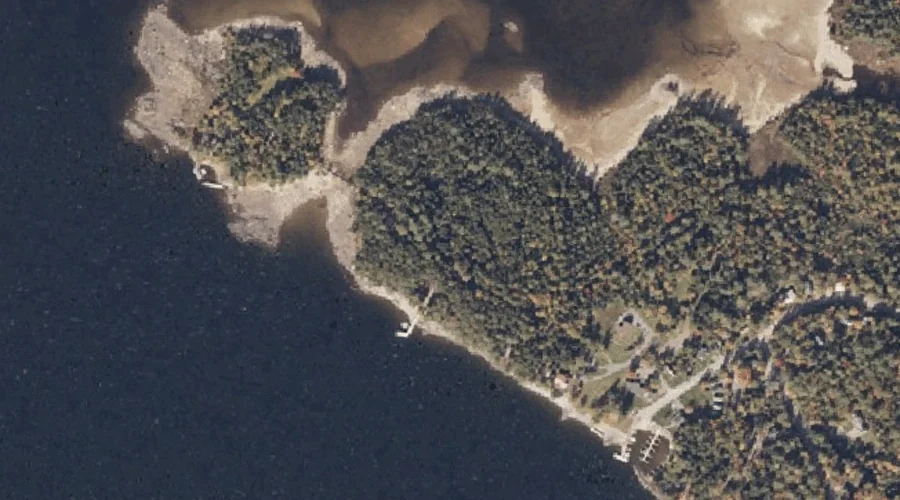
Spots Point is a cape in Franklin County, Maine, located about 38.7 miles north of Chapman Inn in Bethel, Maine. It appears on the USGS Oquossoc topographic quadrangle.
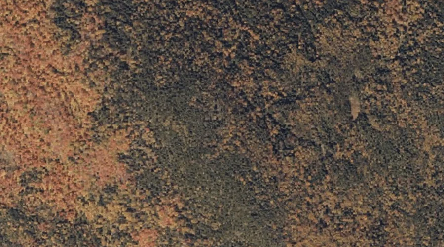
Bean Mountain is a summit in Franklin County, Maine, located about 38.7 miles northeast of Chapman Inn in Bethel, Maine. It appears on the USGS Phillips topographic quadrangle.
Oakes Nubble is a summit in Franklin County, Maine, located about 38.5 miles north-northeast of Chapman Inn in Bethel, Maine. It appears on the USGS Saddleback Mountain topographic…
Smith Cove is a bay in Franklin County, Maine, located about 38.3 miles north of Chapman Inn in Bethel, Maine. It appears on the USGS Rangeley topographic quadrangle.
Midway Pond is a lake in Franklin County, Maine, located about 38.4 miles north-northeast of Chapman Inn in Bethel, Maine. It appears on the USGS Saddleback Mountain topographic…
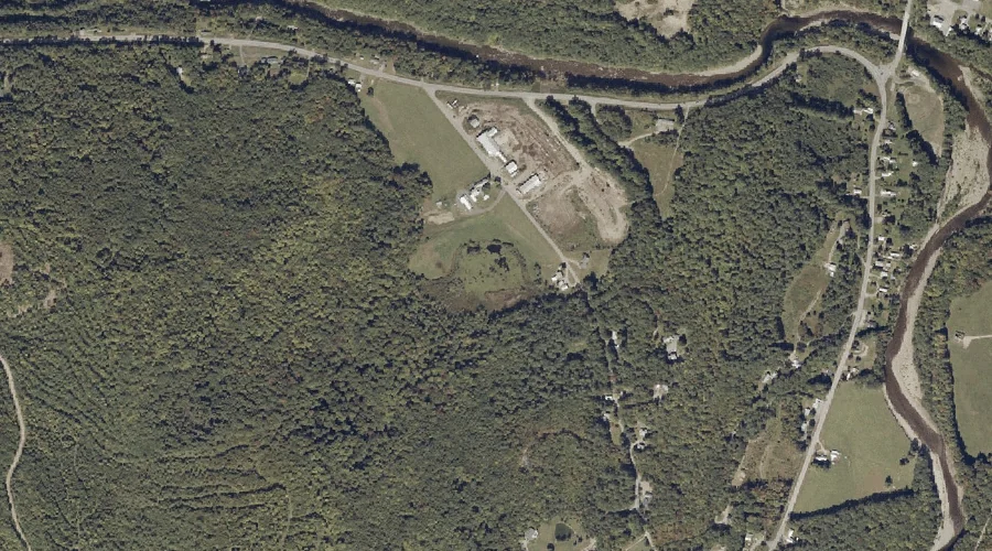
Cowen Hill is a summit in Franklin County, Maine, located about 38.4 miles northeast of Chapman Inn in Bethel, Maine. It appears on the USGS Farmington topographic quadrangle.
Bonney Point is a cape in Franklin County, Maine, located about 38.0 miles north of Chapman Inn in Bethel, Maine. It appears on the USGS Rangeley topographic quadrangle.
Moose and Deer Pond is a lake in Franklin County, Maine, located about 38.1 miles north-northeast of Chapman Inn in Bethel, Maine. It appears on the USGS Saddleback…
Wilson Stream is a stream in Franklin County, Maine, located about 38.1 miles east-northeast of Chapman Inn in Bethel, Maine. It appears on the USGS Farmington Falls topographic…