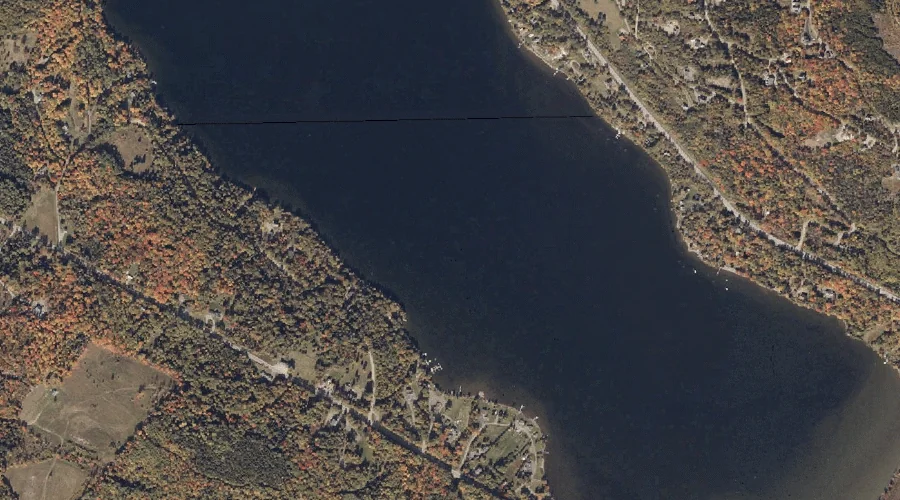
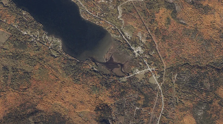
Greenvale Cove is a bay in Franklin County, Maine, located about 37.2 miles north-northeast of Chapman Inn in Bethel, Maine. It appears on the USGS Rangeley topographic quadrangle.
Bald Mountain is a summit in Franklin County, Maine, located about 37.3 miles north of Chapman Inn in Bethel, Maine. It appears on the USGS Oquossoc topographic quadrangle.
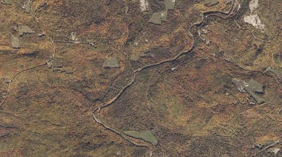
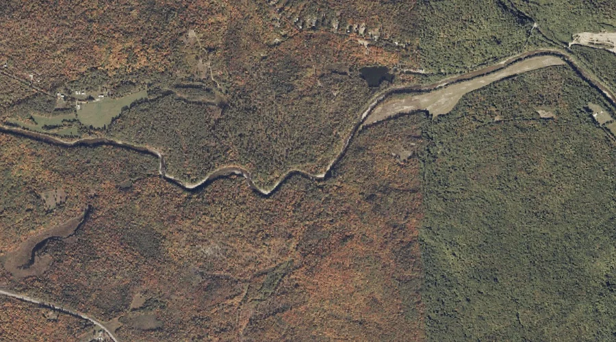
Conant Stream is a stream in Franklin County, Maine, located about 37.1 miles north-northeast of Chapman Inn in Bethel, Maine. It appears on the USGS Redington topographic quadrangle.
Powderhouse Hill is a summit in Franklin County, Maine, located about 37.0 miles east-northeast of Chapman Inn in Bethel, Maine. It appears on the USGS Farmington topographic quadrangle.
Day Mountain Pond is a lake in Franklin County, Maine, located about 37.0 miles northeast of Chapman Inn in Bethel, Maine. It appears on the USGS Strong topographic…
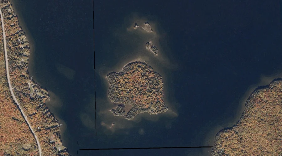
South Bog Islands is a island in Franklin County, Maine, located about 37.0 miles north of Chapman Inn in Bethel, Maine. It appears on the USGS Rangeley topographic…
Piazza Rock is a rock pillar in Franklin County, Maine, located about 36.8 miles north-northeast of Chapman Inn in Bethel, Maine. It appears on the USGS Saddleback Mountain…
Little Norridgewock Stream is a stream in Franklin County, Maine, located about 36.8 miles east-northeast of Chapman Inn in Bethel, Maine. It appears on the USGS Farmington Falls…
Long Pond Stream is a stream in Franklin County, Maine, located about 36.9 miles north-northeast of Chapman Inn in Bethel, Maine. It appears on the USGS Saddleback Mountain…
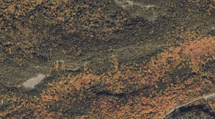
Cottle Brook is a stream in Franklin County, Maine, located about 36.6 miles north-northeast of Chapman Inn in Bethel, Maine. It appears on the USGS Madrid topographic quadrangle.