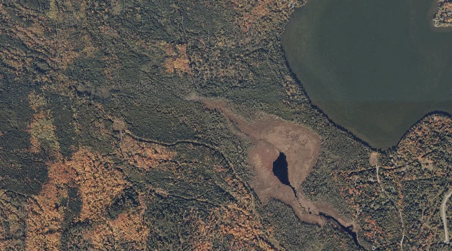
Hayno Bog is a swamp in Franklin County, Maine, located about 40.2 miles north of Chapman Inn in Bethel, Maine. It appears on the USGS Oquossoc topographic quadrangle.
Ross Pond is a lake in Franklin County, Maine, located about 40.1 miles north of Chapman Inn in Bethel, Maine. It appears on the USGS Rangeley topographic quadrangle.
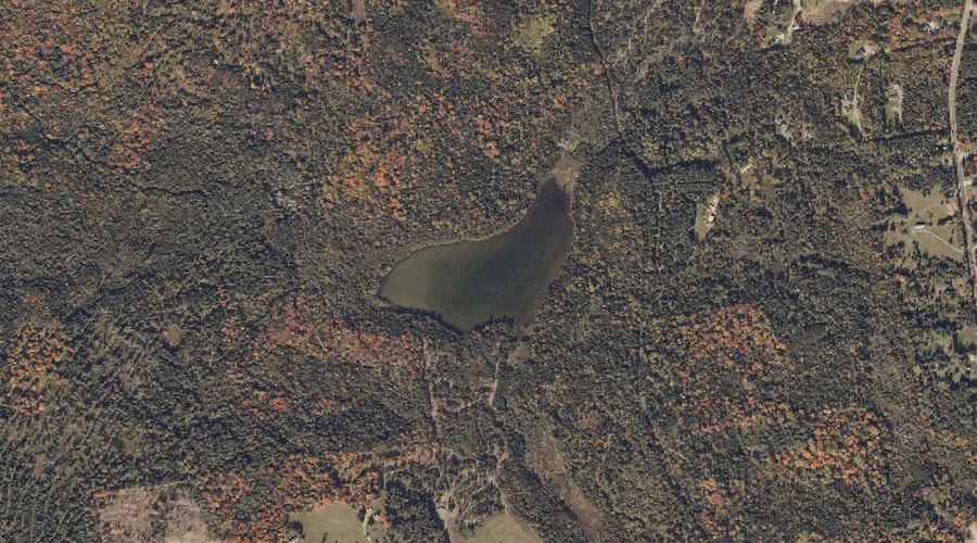
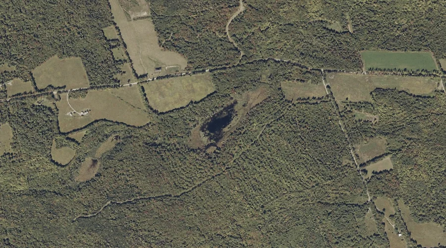
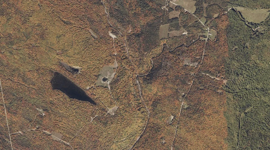
Dodge Pond is a reservoir in Franklin County, Maine, located about 40.0 miles north of Chapman Inn in Bethel, Maine. It appears on the USGS Rangeley topographic quadrangle.
Bean Brook is a stream in Franklin County, Maine, located about 39.7 miles northeast of Chapman Inn in Bethel, Maine. It appears on the USGS Strong topographic quadrangle.
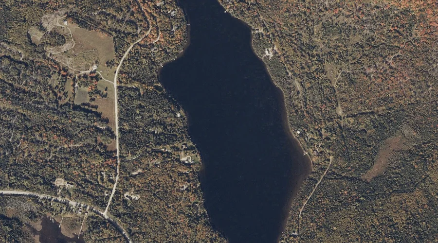
Haley Pond is a reservoir in Franklin County, Maine, located about 39.7 miles north of Chapman Inn in Bethel, Maine. It appears on the USGS Rangeley topographic quadrangle.
Hartwell Mountain is a summit in Franklin County, Maine, located about 39.7 miles northeast of Chapman Inn in Bethel, Maine. It appears on the USGS Strong topographic quadrangle.
Perham Hill is a summit in Franklin County, Maine, located about 39.7 miles east-northeast of Chapman Inn in Bethel, Maine. It appears on the USGS New Sharon topographic…
Tory Hill Pond is a lake in Franklin County, Maine, located about 39.8 miles northeast of Chapman Inn in Bethel, Maine. It appears on the USGS Phillips topographic…
Dyer Hill is a summit in Franklin County, Maine, located about 39.8 miles northeast of Chapman Inn in Bethel, Maine. It appears on the USGS Strong topographic quadrangle.
Perham Stream is a stream in Franklin County, Maine, located about 39.6 miles north-northeast of Chapman Inn in Bethel, Maine. It appears on the USGS Redington topographic quadrangle.