Indian Rock is a island in Franklin County, Maine, located about 39.6 miles north of Chapman Inn in Bethel, Maine. It appears on the USGS Oquossoc topographic quadrangle.
Quimby Brook is a stream in Franklin County, Maine, located about 39.6 miles north of Chapman Inn in Bethel, Maine. It appears on the USGS Rangeley topographic quadrangle.
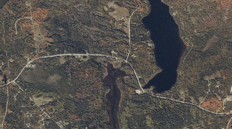
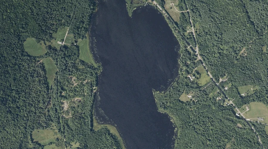
Ellis Pond is a lake in Franklin County, Maine, located about 39.6 miles north of Chapman Inn in Bethel, Maine. It appears on the USGS Oquossoc topographic quadrangle.
Doctor Brook is a stream in Franklin County, Maine, located about 39.7 miles northeast of Chapman Inn in Bethel, Maine. It appears on the USGS Strong topographic quadrangle.
Eagle Point is a cape in Franklin County, Maine, located about 39.4 miles north of Chapman Inn in Bethel, Maine. It appears on the USGS Oquossoc topographic quadrangle.
Saddleback Mountain is a summit in Franklin County, Maine, located about 39.3 miles north-northeast of Chapman Inn in Bethel, Maine. It rises to 4,121 feet above sea level,…
Hatchery Brook is a stream in Franklin County, Maine, located about 39.3 miles north of Chapman Inn in Bethel, Maine. It appears on the USGS Rangeley topographic quadrangle.
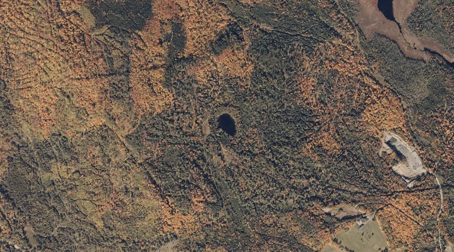
Crowell Pond is a lake in Franklin County, Maine, located about 39.1 miles east-northeast of Chapman Inn in Bethel, Maine. It appears on the USGS Farmington Falls topographic…
Valley Brook is a stream in Franklin County, Maine, located about 39.1 miles northeast of Chapman Inn in Bethel, Maine. It appears on the USGS Strong topographic quadrangle.
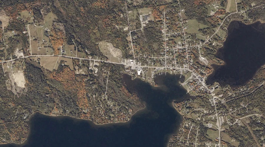
City Cove is a bay in Franklin County, Maine, located about 39.1 miles north of Chapman Inn in Bethel, Maine. It appears on the USGS Rangeley topographic quadrangle.