Lower Ridge is a ridge in Cumberland County, Maine, located about 23.5 miles south of Chapman Inn in Bethel, Maine. It appears on the USGS Bridgton topographic quadrangle.
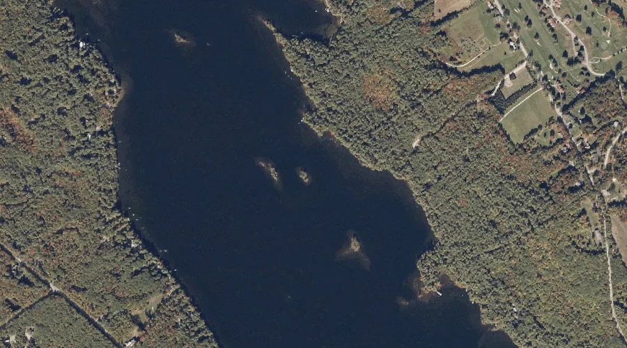
Mile Island is a island in Cumberland County, Maine, located about 23.3 miles south of Chapman Inn in Bethel, Maine. It appears on the USGS Bridgton topographic quadrangle.
Beaver Pond is a lake in Cumberland County, Maine, located about 23.4 miles south of Chapman Inn in Bethel, Maine. It appears on the USGS Pleasant Mountain topographic…
Sunset Rock is a summit in Cumberland County, Maine, located about 23.5 miles south of Chapman Inn in Bethel, Maine. It appears on the USGS Bridgton topographic quadrangle.
Shorey Island is a island in Cumberland County, Maine, located about 23.1 miles south of Chapman Inn in Bethel, Maine. It appears on the USGS Bridgton topographic quadrangle.
Bluff Point is a cape in Cumberland County, Maine, located about 23.2 miles south-southeast of Chapman Inn in Bethel, Maine. It appears on the USGS Bridgton topographic quadrangle.
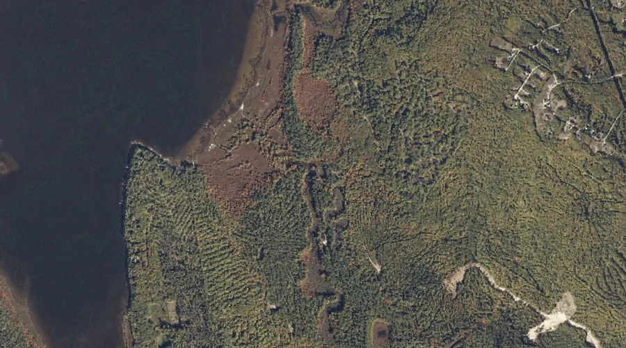
Sawyer Brook is a stream in Cumberland County, Maine, located about 22.9 miles south of Chapman Inn in Bethel, Maine. It appears on the USGS Pleasant Mountain topographic…
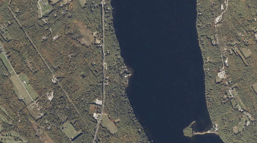
Highland Lake is a reservoir in Cumberland County, Maine, located about 22.4 miles south of Chapman Inn in Bethel, Maine. It appears on the USGS Bridgton topographic quadrangle.
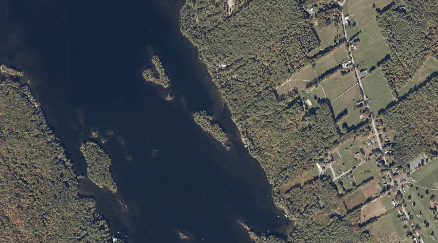
Fowler Island is a island in Cumberland County, Maine, located about 22.5 miles south of Chapman Inn in Bethel, Maine. It appears on the USGS Bridgton topographic quadrangle.
Rodgers Brook is a stream in Cumberland County, Maine, located about 22.5 miles south-southeast of Chapman Inn in Bethel, Maine. It appears on the USGS Bridgton topographic quadrangle.