Knight Hill is a summit in Cumberland County, Maine, located about 22.6 miles south of Chapman Inn in Bethel, Maine. It appears on the USGS Pleasant Mountain topographic…
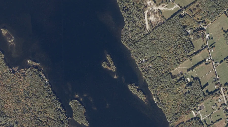
Oak Knoll Island is a island in Cumberland County, Maine, located about 22.3 miles south of Chapman Inn in Bethel, Maine. It appears on the USGS Bridgton topographic…
Dock Brook is a stream in Cumberland County, Maine, located about 22.3 miles south of Chapman Inn in Bethel, Maine. It appears on the USGS Pleasant Mountain topographic…
Penny Island is a island in Cumberland County, Maine, located about 22.3 miles south of Chapman Inn in Bethel, Maine. It appears on the USGS Bridgton topographic quadrangle.
Ingalls Hill is a summit in Cumberland County, Maine, located about 22.0 miles south of Chapman Inn in Bethel, Maine. It appears on the USGS Pleasant Mountain topographic…
Town Farm Hill is a summit in Cumberland County, Maine, located about 22.1 miles south-southeast of Chapman Inn in Bethel, Maine. It appears on the USGS Bridgton topographic…
Whitney Hill is a summit in Cumberland County, Maine, located about 21.6 miles south-southeast of Chapman Inn in Bethel, Maine. It appears on the USGS Bridgton topographic quadrangle.
Biglow Swamp is a swamp in Cumberland County, Maine, located about 21.6 miles south-southeast of Chapman Inn in Bethel, Maine. It appears on the USGS Casco topographic quadrangle.
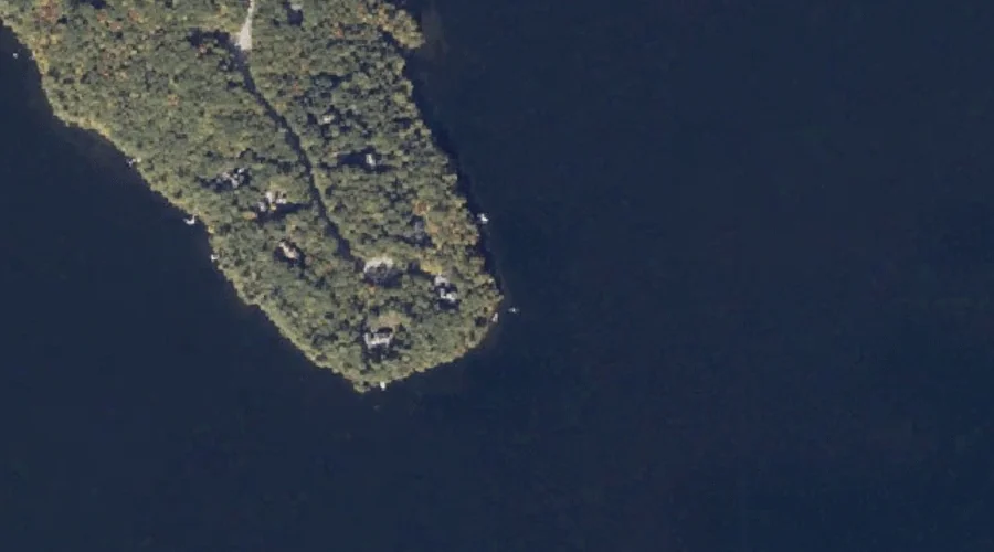
Bells Point is a cape in Cumberland County, Maine, located about 21.7 miles south-southeast of Chapman Inn in Bethel, Maine. It appears on the USGS Bridgton topographic quadrangle.
Knolls Point is a cape in Cumberland County, Maine, located about 21.7 miles south of Chapman Inn in Bethel, Maine. It appears on the USGS Bridgton topographic quadrangle.