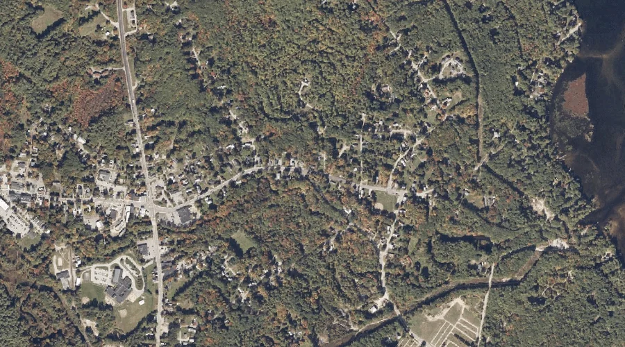
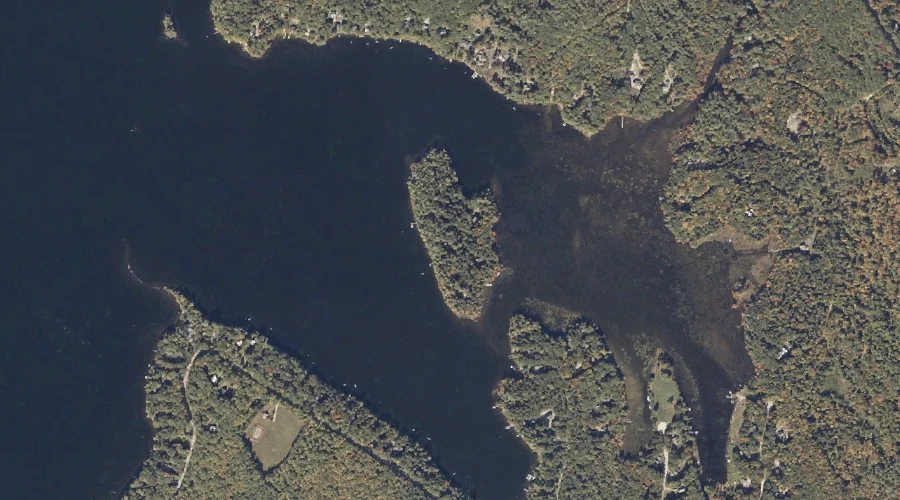
Stevens Pond is a reservoir in Cumberland County, Maine, located about 24.6 miles south of Chapman Inn in Bethel, Maine. It appears on the USGS Bridgton topographic quadrangle.
Willett Brook is a stream in Cumberland County, Maine, located about 24.8 miles south of Chapman Inn in Bethel, Maine. It appears on the USGS Bridgton topographic quadrangle.
Little Mountain is a summit in Cumberland County, Maine, located about 24.3 miles south of Chapman Inn in Bethel, Maine. It appears on the USGS Pleasant Mountain topographic…
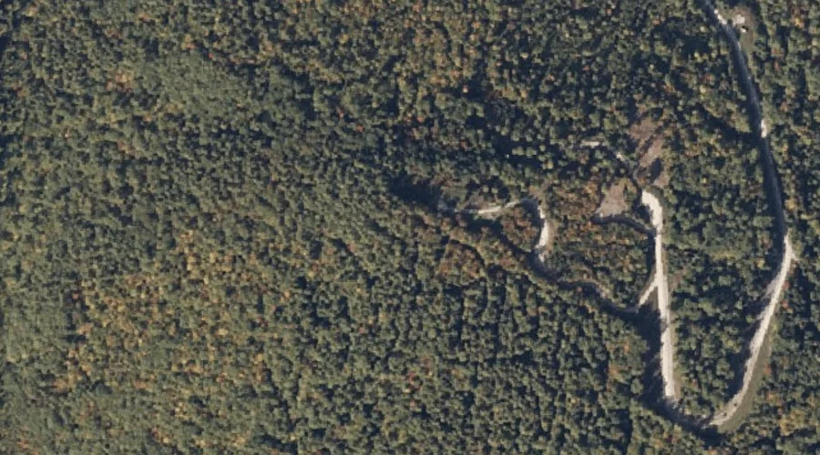
Carsley Brook is a stream in Cumberland County, Maine, located about 23.9 miles south-southeast of Chapman Inn in Bethel, Maine. It appears on the USGS Bridgton topographic quadrangle.
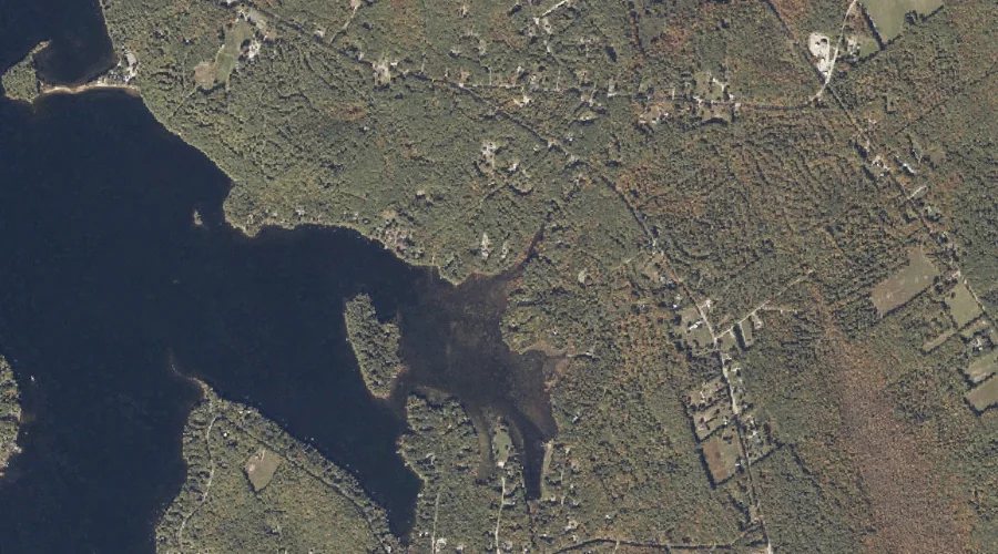
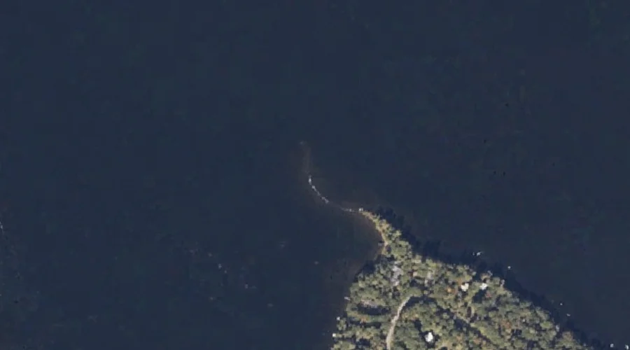
Monk Point is a cape in Cumberland County, Maine, located about 23.9 miles south-southeast of Chapman Inn in Bethel, Maine. It appears on the USGS Bridgton topographic quadrangle.
Cape Monday is a cape in Cumberland County, Maine, located about 24.0 miles south-southeast of Chapman Inn in Bethel, Maine. It appears on the USGS Bridgton topographic quadrangle.
Zakelo Island is a island in Cumberland County, Maine, located about 24.0 miles south-southeast of Chapman Inn in Bethel, Maine. It appears on the USGS Bridgton topographic quadrangle.
Lower Ridge is a ridge in Cumberland County, Maine, located about 23.5 miles south of Chapman Inn in Bethel, Maine. It appears on the USGS Bridgton topographic quadrangle.
Russell Brook is a stream in Cumberland County, Maine, located about 23.6 miles south-southeast of Chapman Inn in Bethel, Maine. It appears on the USGS Casco topographic quadrangle.
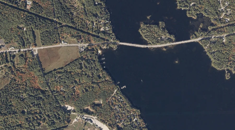
Moose Pond is a reservoir in Cumberland County, Maine, located about 23.6 miles south of Chapman Inn in Bethel, Maine. It appears on the USGS Pleasant Mountain topographic…