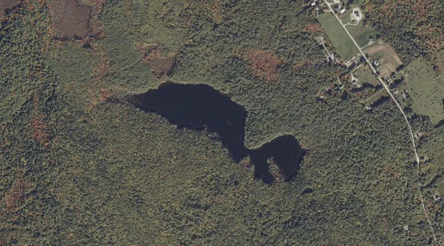
Crescent Lake is a lake in Cumberland County, Maine, located about 34.1 miles south-southeast of Chapman Inn in Bethel, Maine. It appears on the USGS Raymond topographic quadrangle.
Mitchell Hill is a summit in Cumberland County, Maine, located about 33.8 miles south-southeast of Chapman Inn in Bethel, Maine. It appears on the USGS Naples topographic quadrangle.
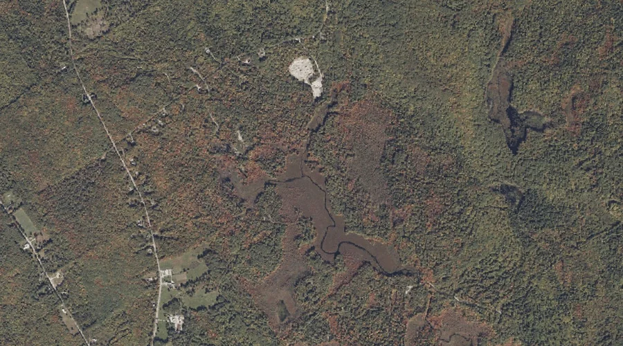
Hill Brook is a stream in Cumberland County, Maine, located about 33.9 miles south of Chapman Inn in Bethel, Maine. It appears on the USGS North Sebago topographic…
Rattlesnake Mountain is a summit in Cumberland County, Maine, located about 33.8 miles south-southeast of Chapman Inn in Bethel, Maine. It appears on the USGS Raymond topographic quadrangle.
Cold Rain Pond is a lake in Cumberland County, Maine, located about 33.5 miles south-southeast of Chapman Inn in Bethel, Maine. It appears on the USGS North Sebago…
Tiger Hill is a summit in Cumberland County, Maine, located about 33.6 miles south of Chapman Inn in Bethel, Maine. It appears on the USGS North Sebago topographic…
Breezy Point is a cape in Cumberland County, Maine, located about 33.3 miles south-southeast of Chapman Inn in Bethel, Maine. It appears on the USGS Naples topographic quadrangle.
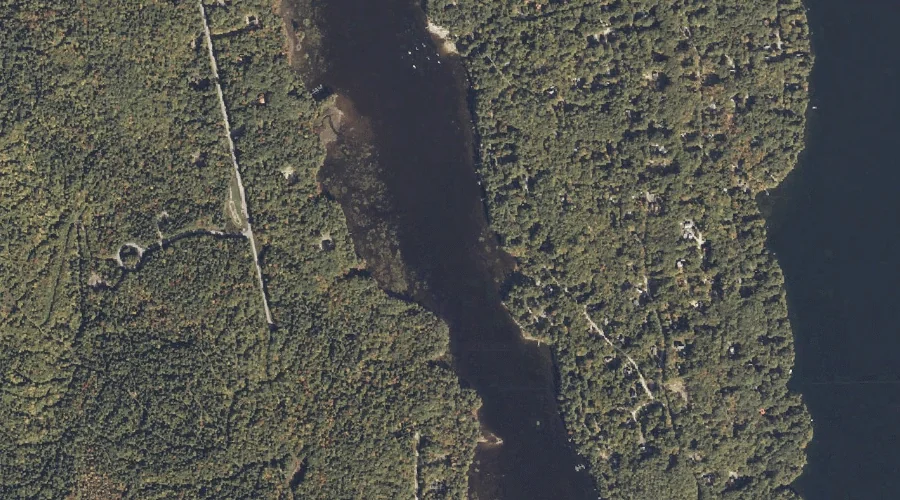
Trickey Pond is a lake in Cumberland County, Maine, located about 33.3 miles south-southeast of Chapman Inn in Bethel, Maine. It appears on the USGS Naples topographic quadrangle.
Sebago Cove is a bay in Cumberland County, Maine, located about 33.3 miles south-southeast of Chapman Inn in Bethel, Maine. It appears on the USGS Naples topographic quadrangle.
Pismire Mountain is a summit in Cumberland County, Maine, located about 33.4 miles south-southeast of Chapman Inn in Bethel, Maine. It appears on the USGS Raymond topographic quadrangle.