 Aerial imagery: USGS National Map (public domain)
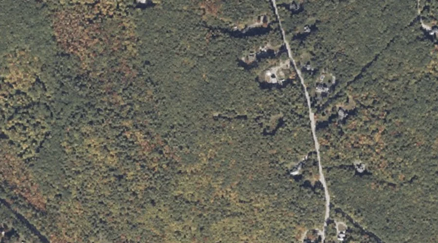
Tenny Hill — Summits 33.2 Miles SSE of Chapman Inn
Cumberland County, Maine · USGS Raymond Quadrangle · GNIS 576731
Within Cumberland County, Maine, on the USGS Raymond quadrangle, the summit known as Tenny Hill sits 33.2 miles south-southeast of Chapman Inn.
Wikidata short description: “mountain in the United States of America”
Landmark Profile
Classification & USGS reference
Within Cumberland County, Maine, the U.S. Geological Survey lists Tenny Hill as a summit on the Raymond topographic quadrangle (FIPS 23/005), under Feature ID 576731. Last revised by the Board on Geographic Names on 07/23/2022.
Coordinates & physical setting
Tenny Hill sits at 43.99646° N, 70.43762° W (DMS 43°59′47″ N, 70°26′15″ W).
Other summits in Cumberland County, Maine
Cumberland County, ME contains 108 summits catalogued in the USGS Geographic Names Information System, counting Tenny Hill itself. The ones closest to Tenny Hill:
| Feature | USGS Quadrangle | Elevation | Distance |
|---|---|---|---|
| Pismire Mountain | Raymond | — | 0.7 mi |
| Ledge Hill | Raymond | — | 2.3 mi |
| Rattlesnake Mountain | Raymond | — | 3.1 mi |
| Nubble Hill | Raymond | — | 3.2 mi |
| Pine Hill | Casco | — | 3.3 mi |
| Barton Hill | Naples | — | 3.3 mi |
| Raymond Hill | Raymond | — | 3.4 mi |
| Mayberry Hill | Casco | — | 4 mi |
| Leach Hill | Naples | — | 4.4 mi |
| Glovers Wig | Raymond | — | 4.5 mi |
Features on the USGS Raymond Quadrangle
The Raymond 7.5-minute topographic quadrangle holds 55 catalogued natural features alongside Tenny Hill. A sampling nearest to this location:
| Feature | Type | County | Offset |
|---|---|---|---|
| Pismire Mountain | Summits | Cumberland County, ME | 0.7 mi |
| Robinson Brook | Streams | Cumberland County, ME | 1.1 mi |
| Edwards Brook | Streams | Androscoggin County, ME | 1.2 mi |
| Hog Meadow Pond | Lakes | Cumberland County, ME | 1.5 mi |
| Raymond Pond | Lakes | Cumberland County, ME | 1.8 mi |
| Crescent Lake | Lakes | Cumberland County, ME | 1.9 mi |
| Ledge Hill | Summits | Cumberland County, ME | 2.3 mi |
| Valley Brook | Streams | Cumberland County, ME | 2.4 mi |
| Dumpling Pond | Lakes | Cumberland County, ME | 2.7 mi |
| Rattlesnake Mountain | Summits | Cumberland County, ME | 3.1 mi |
Visiting from Chapman Inn
Distance, bearing & drive time
Follow the compass bearing SSE out of Bethel for 33.2 miles (south-southeast) and you reach Tenny Hill; at typical rural speeds the trip runs roughly 57 minutes.
Best time to visit
Accessible May through November in most years. At this latitude (43.996°), the shoulder seasons are workable — April and November can be comfortable on mild years. At 33.2 miles from the Inn, block the full day — sunrise start, late return, packed meals. Conditions at Tenny Hill track the nearby Pismire Mountain summit (0.7 mi away) closely — if that is runnable, so is this.
Nearest features to Tenny Hill
| Feature | Type | County | Distance |
|---|---|---|---|
| Pismire Mountain | Summits | Cumberland County, ME | 0.7 mi |
| Black Cat Mountain | Summits | Androscoggin County, ME | 0.9 mi |
| Robinson Brook | Streams | Cumberland County, ME | 1.1 mi |
| Edwards Brook | Streams | Androscoggin County, ME | 1.2 mi |
| Hog Meadow Pond | Lakes | Cumberland County, ME | 1.5 mi |
Frequently Asked Questions
Where is Tenny Hill located?
Tenny Hill is in Cumberland County, Maine, approximately 33.2 miles south-southeast of Chapman Inn in Bethel, Maine. It appears on the USGS Raymond topographic quadrangle.
How far is Tenny Hill from Chapman Inn?
The drive runs about 57 minutes, 33.2 miles south-southeast (bearing SSE) of the Inn.
What type of natural feature is Tenny Hill?
The U.S. Geological Survey classifies Tenny Hill as a summit, catalogued under GNIS Feature ID 576731 on the Raymond quadrangle.
When is the best time to visit Tenny Hill?
Accessible May through November in most years.
How many other summits are in Cumberland County, Maine?
GNIS lists 107 other summits in Cumberland County, Maine.
Wikidata: Q33150682.