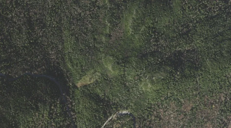
 Aerial imagery: USGS National Map (public domain)
Lows Bald Spot — Summits 24.4 Miles WSW of Chapman Inn
Coos County, New Hampshire · USGS Mount Washington Quadrangle · GNIS 871366
Catalogued on the USGS Mount Washington quadrangle in Coos County, New Hampshire, Lows Bald Spot — a summit — lies 24.4 miles west-southwest of Chapman Inn.
Wikidata short description: “mountain in United States of America”
Landmark Profile
Classification & USGS reference
Catalogued under GNIS Feature ID 871366, Lows Bald Spot is recorded as a summit on the USGS Mount Washington quadrangle in Coos County, New Hampshire (FIPS 33/007). Last revised by the Board on Geographic Names on 11/24/2020.
Coordinates & physical setting
Lows Bald Spot sits at 44.28359° N, 71.25367° W (DMS 44°17′01″ N, 71°15′13″ W).
Other summits in Coos County, New Hampshire
Coos County, NH contains 226 summits catalogued in the USGS Geographic Names Information System, counting Lows Bald Spot itself. The ones closest to Lows Bald Spot:
| Feature | USGS Quadrangle | Elevation | Distance |
|---|---|---|---|
| Washburn Point | Mount Washington | — | 1.5 mi |
| Agiocochook Crag | Mount Washington | — | 1.9 mi |
| Little Wildcat Mountain | Carter Dome | — | 2.2 mi |
| Mount Washington | Mount Washington | — | 2.6 mi |
| Boott Spur | Mount Washington | — | 2.9 mi |
| Wildcat Mountain | Carter Dome | 4,422 ft | 3.1 mi |
| Mount Clay | Mount Washington | — | 3.1 mi |
| Mount Adams | Mount Washington | — | 3.2 mi |
| Mount Quincy Adams | Mount Washington | — | 3.3 mi |
| Mount Madison | Mount Washington | — | 3.3 mi |
Features on the USGS Mount Washington Quadrangle
The Mount Washington 7.5-minute topographic quadrangle holds 68 catalogued natural features alongside Lows Bald Spot. A sampling nearest to this location:
| Feature | Type | County | Offset |
|---|---|---|---|
| Great Gulf | Valleys | Coos County, NH | 1.3 mi |
| Madison Gulf | Valleys | Coos County, NH | 1.5 mi |
| Washburn Point | Summits | Coos County, NH | 1.5 mi |
| Parapet Brook | Streams | Coos County, NH | 1.5 mi |
| Cutler River | Streams | Coos County, NH | 1.5 mi |
| Huntington Ravine | Valleys | Coos County, NH | 1.6 mi |
| Nelson Crag | Pillars | Coos County, NH | 1.6 mi |
| Tuckerman Ravine | Valleys | Coos County, NH | 1.6 mi |
| Pinkham Notch | Gaps | Coos County, NH | 1.8 mi |
| Chandler Brook | Streams | Coos County, NH | 1.9 mi |
Historical record
The U.S. Board on Geographic Names recorded a Official (Board Decision) on January 1, 2003 for this name.
Visiting from Chapman Inn
Distance, bearing & drive time
A 42-minute drive along back roads separates the front door of Chapman Inn from Lows Bald Spot — 24.4 miles west-southwest as the crow flies, on compass bearing WSW.
Best time to visit
Accessible May through November in most years. Being this far north (lat 44.284°), first snows typically arrive by mid-October and linger into early May — narrow the window accordingly. At 24.4 miles from the Inn, plan on a comfortable day trip with time for lunch on the road. Conditions at Lows Bald Spot track the nearby Emerald Pool lake (1.1 mi away) closely — if that is runnable, so is this.
Nearest features to Lows Bald Spot
| Feature | Type | County | Distance |
|---|---|---|---|
| Emerald Pool | Lakes | Coos County, NH | 1.1 mi |
| Vals Ledge | Benches | Coos County, NH | 1.2 mi |
| Great Gulf | Valleys | Coos County, NH | 1.3 mi |
| Thompson Brook | Streams | Coos County, NH | 1.3 mi |
| Madison Gulf | Valleys | Coos County, NH | 1.5 mi |
Frequently Asked Questions
Where is Lows Bald Spot located?
Lows Bald Spot is in Coos County, New Hampshire, approximately 24.4 miles west-southwest of Chapman Inn in Bethel, Maine. It appears on the USGS Mount Washington topographic quadrangle.
How far is Lows Bald Spot from Chapman Inn?
The drive runs about 42 minutes, 24.4 miles west-southwest (bearing WSW) of the Inn.
What type of natural feature is Lows Bald Spot?
The U.S. Geological Survey classifies Lows Bald Spot as a summit, catalogued under GNIS Feature ID 871366 on the Mount Washington quadrangle.
When is the best time to visit Lows Bald Spot?
Accessible May through November in most years.
How many other summits are in Coos County, New Hampshire?
GNIS lists 225 other summits in Coos County, New Hampshire.
Wikidata: Q34926188.