 Aerial imagery: USGS National Map (public domain)
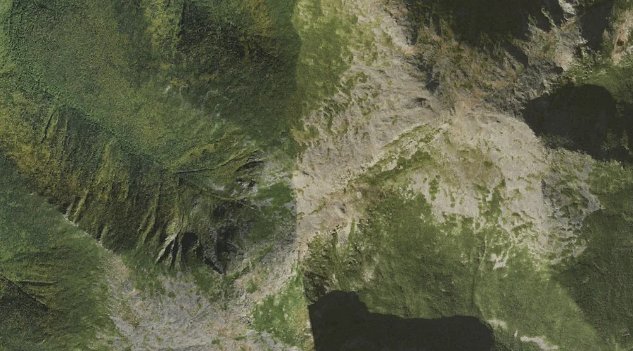
Israel Ridge — Ridges 26.3 Miles WSW of Chapman Inn
Coos County, New Hampshire · USGS Mount Washington Quadrangle · GNIS 872087
Within Coos County, New Hampshire, on the USGS Mount Washington quadrangle, the ridge known as Israel Ridge sits 26.3 miles west-southwest of Chapman Inn.
Landmark Profile
Classification & USGS reference
Within Coos County, New Hampshire, the U.S. Geological Survey lists Israel Ridge as a ridge on the Mount Washington topographic quadrangle (FIPS 33/007), under Feature ID 872087. Last revised by the Board on Geographic Names on 11/24/2020.
Coordinates & physical setting
Israel Ridge sits at 44.31758° N, 71.30789° W (DMS 44°19′03″ N, 71°18′28″ W).
Other ridges in Coos County, New Hampshire
Coos County, NH contains 32 ridges catalogued in the USGS Geographic Names Information System, counting Israel Ridge itself. The ones closest to Israel Ridge:
| Feature | USGS Quadrangle | Elevation | Distance |
|---|---|---|---|
| Nowell Ridge | Mount Washington | — | 0.5 mi |
| Castellated Ridge | Mount Washington | — | 0.9 mi |
| Durand Ridge | Mount Washington | — | 1.1 mi |
| Ridge of the Caps | Mount Washington | — | 1.2 mi |
| Gordon Ridge | Mount Washington | — | 1.8 mi |
| Osgood Ridge | Mount Washington | — | 2 mi |
| Howker Ridge | Mount Washington | — | 2 mi |
| Chandler Ridge | Mount Washington | — | 2.9 mi |
| Rocky Branch Ridge | Stairs Mountain | — | 5.6 mi |
| Hardwood Ridge | Mount Dartmouth | — | 5.8 mi |
Features on the USGS Mount Washington Quadrangle
The Mount Washington 7.5-minute topographic quadrangle holds 68 catalogued natural features alongside Israel Ridge. A sampling nearest to this location:
| Feature | Type | County | Offset |
|---|---|---|---|
| Adams Five | Summits | Coos County, NH | 0.2 mi |
| Mount Sam Adams | Summits | Coos County, NH | 0.5 mi |
| Edmands Col | Gaps | Coos County, NH | 0.5 mi |
| Nowell Ridge | Ridges | Coos County, NH | 0.5 mi |
| Mount Abigail Adams | Summits | Coos County, NH | 0.6 mi |
| Mount Adams | Summits | Coos County, NH | 0.8 mi |
| Castellated Ridge | Ridges | Coos County, NH | 0.9 mi |
| Mount Jefferson | Summits | Coos County, NH | 1 mi |
| Mount Quincy Adams | Summits | Coos County, NH | 1.1 mi |
| Durand Ridge | Ridges | Coos County, NH | 1.1 mi |
Visiting from Chapman Inn
Distance, bearing & drive time
Follow the compass bearing WSW out of Bethel for 26.3 miles (west-southwest) and you reach Israel Ridge; at typical rural speeds the trip runs roughly 45 minutes.
Best time to visit
Accessible May through November in most years. Being this far north (lat 44.318°), first snows typically arrive by mid-October and linger into early May — narrow the window accordingly. At 26.3 miles from the Inn, block the full day — sunrise start, late return, packed meals. Conditions at Israel Ridge track the nearby Adams Five summit (0.2 mi away) closely — if that is runnable, so is this.
Nearest features to Israel Ridge
| Feature | Type | County | Distance |
|---|---|---|---|
| Adams Five | Summits | Coos County, NH | 0.2 mi |
| Mount Sam Adams | Summits | Coos County, NH | 0.5 mi |
| Edmands Col | Gaps | Coos County, NH | 0.5 mi |
| Nowell Ridge | Ridges | Coos County, NH | 0.5 mi |
| Mount Abigail Adams | Summits | Coos County, NH | 0.6 mi |
Frequently Asked Questions
Where is Israel Ridge located?
Israel Ridge is in Coos County, New Hampshire, approximately 26.3 miles west-southwest of Chapman Inn in Bethel, Maine. It appears on the USGS Mount Washington topographic quadrangle.
How far is Israel Ridge from Chapman Inn?
The drive runs about 45 minutes, 26.3 miles west-southwest (bearing WSW) of the Inn.
What type of natural feature is Israel Ridge?
The U.S. Geological Survey classifies Israel Ridge as a ridge, catalogued under GNIS Feature ID 872087 on the Mount Washington quadrangle.
When is the best time to visit Israel Ridge?
Accessible May through November in most years.
How many other ridges are in Coos County, New Hampshire?
GNIS lists 31 other ridges in Coos County, New Hampshire.