 Aerial imagery: USGS National Map (public domain)
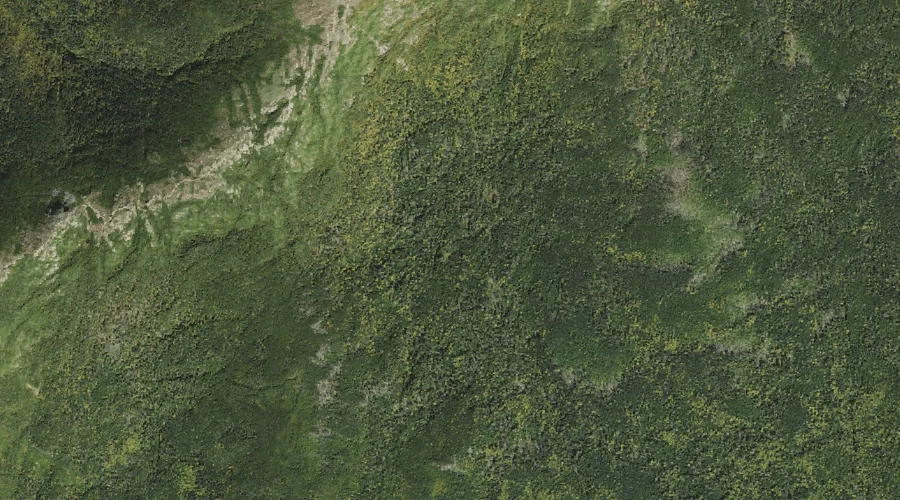
Desolation Pond — Lakes 29.2 Miles WSW of Chapman Inn
Coos County, New Hampshire · USGS Stairs Mountain Quadrangle · GNIS 871780
Catalogued on the USGS Stairs Mountain quadrangle in Coos County, New Hampshire, Desolation Pond — a lake — lies 29.2 miles west-southwest of Chapman Inn.
Landmark Profile
Classification & USGS reference
Catalogued under GNIS Feature ID 871780, Desolation Pond is recorded as a lake on the USGS Stairs Mountain quadrangle in Coos County, New Hampshire (FIPS 33/007). Catalogued in GNIS since 08/27/1980.
Coordinates & physical setting
Desolation Pond sits at 44.24173° N, 71.33424° W (DMS 44°14′30″ N, 71°20′03″ W).
Other lakes in Coos County, New Hampshire
Coos County, NH contains 99 lakes catalogued in the USGS Geographic Names Information System, counting Desolation Pond itself. The ones closest to Desolation Pond:
| Feature | USGS Quadrangle | Distance |
|---|---|---|
| Lakes of the Clouds | Mount Washington | 1.4 mi |
| Hermit Lake | Mount Washington | 2.7 mi |
| Spaulding Lake | Mount Washington | 3.1 mi |
| Saco Lake | Crawford Notch | 4.1 mi |
| Lost Pond | Stairs Mountain | 4.2 mi |
| Ammonoosuc Lake | Crawford Notch | 4.3 mi |
| Emerald Pool | Carter Dome | 5.7 mi |
| Star Lake | Mount Washington | 6.3 mi |
| Garnet Pool | Carter Dome | 7 mi |
| No Ketchum Pond | Jackson | 9.4 mi |
Features on the USGS Stairs Mountain Quadrangle
The Stairs Mountain 7.5-minute topographic quadrangle holds 28 catalogued natural features alongside Desolation Pond. A sampling nearest to this location:
| Feature | Type | County | Offset |
|---|---|---|---|
| Mount Eisenhower | Summits | Coos County, NH | 0.8 mi |
| Oakes Gulf | Valleys | Coos County, NH | 1.2 mi |
| Montalban Ridge | Ridges | Coos County, NH | 1.6 mi |
| Mount Pierce | Summits | Coos County, NH | 1.9 mi |
| Gulf Peak | Summits | Coos County, NH | 2.2 mi |
| Mount Isolation | Summits | Coos County, NH | 2.2 mi |
| Rocky Branch Ridge | Ridges | Coos County, NH | 2.3 mi |
| Gulf of Slides | Valleys | Coos County, NH | 2.5 mi |
| Mount Davis | Summits | Coos County, NH | 2.8 mi |
| Glen Boulder | Pillars | Coos County, NH | 2.9 mi |
Visiting from Chapman Inn
Distance, bearing & drive time
A 50-minute drive along back roads separates the front door of Chapman Inn from Desolation Pond — 29.2 miles west-southwest as the crow flies, on compass bearing WSW.
Best time to visit
June through September for paddling and swimming; January through March for ice fishing. Being this far north (lat 44.242°), first snows typically arrive by mid-October and linger into early May — narrow the window accordingly. At 29.2 miles from the Inn, block the full day — sunrise start, late return, packed meals. Conditions at Desolation Pond track the nearby Mount Franklin summit (0.8 mi away) closely — if that is runnable, so is this.
Nearest features to Desolation Pond
| Feature | Type | County | Distance |
|---|---|---|---|
| Mount Franklin | Summits | Coos County, NH | 0.8 mi |
| Mount Eisenhower | Summits | Coos County, NH | 0.8 mi |
| Mount Monroe | Summits | Coos County, NH | 1.1 mi |
| Oakes Gulf | Valleys | Coos County, NH | 1.2 mi |
| Lakes of the Clouds | Lakes | Coos County, NH | 1.4 mi |
Frequently Asked Questions
Where is Desolation Pond located?
Desolation Pond is in Coos County, New Hampshire, approximately 29.2 miles west-southwest of Chapman Inn in Bethel, Maine. It appears on the USGS Stairs Mountain topographic quadrangle.
How far is Desolation Pond from Chapman Inn?
The drive runs about 50 minutes, 29.2 miles west-southwest (bearing WSW) of the Inn.
What type of natural feature is Desolation Pond?
The U.S. Geological Survey classifies Desolation Pond as a lake, catalogued under GNIS Feature ID 871780 on the Stairs Mountain quadrangle.
When is the best time to visit Desolation Pond?
June through September for paddling and swimming; January through March for ice fishing.
How many other lakes are in Coos County, New Hampshire?
GNIS lists 98 other lakes in Coos County, New Hampshire.